Humber River
Humber River
- Boat Ramps
- 0
- Access Points
- 0
- Campsites
- 0
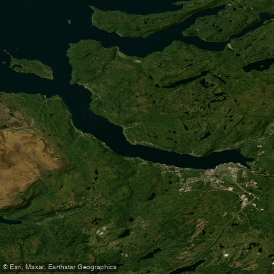
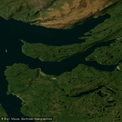
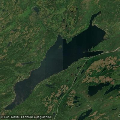
The Humber River in western Newfoundland is a large watershed covering 8,124 km² that drains from the Long Range Mountains to the Bay of Islands near Corner Brook. The river system is typically divided into upper and lower sections, each offering a distinctly different paddling experience.
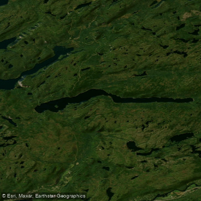
The upper Humber runs from Beaver Pond in the Long Range Mountains down to Deer Lake and includes serious whitewater with at least two mandatory portages. One documented route begins at Beaver Pond (accessible by floatplane) and travels through Mattys Pond, Silver Mountain Pond, the East Adies River confluence, and a long reach of rapids before reaching Birchy Basin. A separate route on the upper system runs from the Adies River confluence through rapids, past Gales Brook, Alder Pond, and includes portages at Bear Reef and Big Falls before reaching Sir Richard Squires Memorial Park. This upper section is suited to experienced paddlers comfortable with significant whitewater.
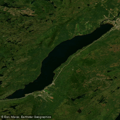
The lower Humber, roughly 15 km in length between Deer Lake and the Bay of Islands, is a broader, calmer stretch suitable for paddlers of varying skill levels. A common put-in is at the bridge crossing near Humber Valley Resort at the end of Deer Lake, from which the river passes through the Humber Valley agricultural lands and the communities of Little Rapids and Humber Village before reaching a wide estuary. The trip typically takes three to four hours. Canoeists are advised to take out at the bridge to the North Shore highway, as wind conditions can intensify beyond that point. A rafting route also operates between Steady Brook and Ballam Bridge, covering approximately 7 km and passing Shellbird Island.
At the river's mouth near Corner Brook, paddlers can explore the estuary and Wild Cove. The recommended launch point for this area is the Corner Brook Rowing Club lot at 1 Riverside Drive. This section features abandoned log transport structures that attract gulls, cormorants, and occasional bald eagles. The estuary of Wild Cove Brook is shallow and draws eagles, osprey, and various waterfowl. Wind, tide, and river current can combine to create unpredictable conditions at the mouth, and less experienced paddlers should exercise caution when crossing open water.
The Humber River has historical significance as the backbone of western Newfoundland's pulp and paper industry since the Corner Brook mill opened in 1923, and it was mapped by explorer James Cook. It is also recognized as a world-class Atlantic salmon fishing river.
Water access, boat ramps & amenities
Learn how to get on Humber River. Uncover great paddling access points, boat ramps, and all the facilities you need for an unforgettable day on the water. Some locations shown may border or include private property. Always check property boundaries and applicable regulations before visiting. PaddleWays's Public & Private Land layer can help you plan your access with confidence.
Paddle smarter with real-time insights
Whether you're en route and conditions shift or you're looking for the best spot based on current flows, we enable you to make informed decisions on the fly.







Nl licenses and regulations
No licenses or regulations available for Nl.
Find Places to Paddle

Over 400,000 Places to Paddle
Every user gets free access to launch points, boat ramps, and public property parcels.


Water and weather conditions (10 day forecast)
See the best times to paddle Humber River and check the forecast before you go.
HUMBER RIVER AT HUMBER VILLAGE BRIDGE

Explore Nl waters
Top paddling waters
No waters available right now.
Popular Cities
Loading popular cities...
Explore near Humber River

Smarter Paddling Starts in the App.
Paddleways gives you everything you need to plan smarter, paddle better, and own every trip from first launch to takeout.