Freshwater Bay
- Saltwater
- Bay
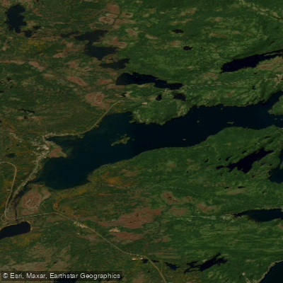
Freshwater Bay
- Saltwater
- Bay
- Sq. miles
- 17
- Boat Ramps
- 0
- Access Points
- 0
- Campsites
- 0
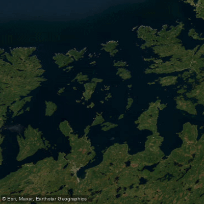
Freshwater Bay is a coastal inlet and the primary marine feature of Gambo, located at the head of the bay where the community sits. The bay receives freshwater input from three rivers: the Gambo River, Middle Brook, and Traverse Brook. Paddlers can enjoy waterfront views directly accessible from the town center. The bay's character is that of a quiet, scenic coastal environment with a rural backdrop, offering a relaxed paddling experience focused on nature and local views. A notable sight from the water would be the vista towards Joey's Lookout, a trail and viewpoint on shore that overlooks the bay. The area is known for birding, indicating potential wildlife sightings from a kayak or canoe. As a saltwater bay on the coast of Newfoundland, paddlers must plan for typical North Atlantic conditions. The exposure to open water from the bay's mouth means wind and wave fetch can be significant factors, requiring attention to weather forecasts. Tidal currents are a primary safety consideration, and paddlers should consult local tide charts for the area to time trips appropriately, especially when navigating near the river mouths where outflow may interact with tidal flow. The water is cold year-round, consistent with the Newfoundland coast, necessitating appropriate immersion gear. There is boat traffic to consider, as the town has a small harbour, and the bay is used for fishing and potentially touring. General maritime rules apply. The bay's geography lends itself to exploration along its shoreline, potentially venturing towards the river estuaries.
Water access, boat ramps & amenities
Learn how to get on Freshwater Bay. Uncover great paddling access points, boat ramps, and all the facilities you need for an unforgettable day on the water. Some locations shown may border or include private property. Always check property boundaries and applicable regulations before visiting. PaddleWays's Public & Private Land layer can help you plan your access with confidence.
Paddle smarter with real-time insights
Whether you're en route and conditions shift or you're looking for the best spot based on current flows, we enable you to make informed decisions on the fly.







Nl licenses and regulations
No licenses or regulations available for Nl.
Find Places to Paddle

Over 400,000 Places to Paddle
Every user gets free access to launch points, boat ramps, and public property parcels.


Tides, wind & water conditions (10 day forecast)
On open water, wind and tide matter as much as the weather. See the best times to paddle Freshwater Bay and check the marine forecast before you launch.
Loading tide predictions…
Explore Nl waters
Top paddling waters
No waters available right now.
Popular Cities
Loading popular cities...
Explore near Freshwater Bay

Smarter Paddling Starts in the App.
Paddleways gives you everything you need to plan smarter, paddle better, and own every trip from first launch to takeout.