Rodney Pond
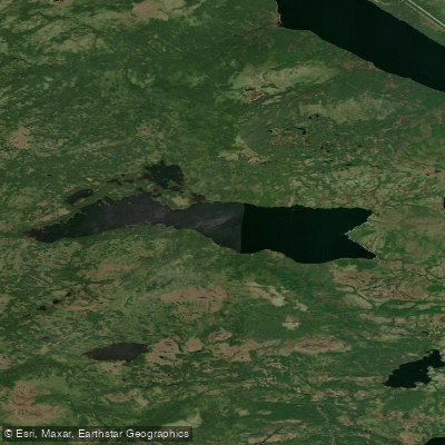
Rodney Pond
- Boat Ramps
- 0
- Access Points
- 0
- Campsites
- 0
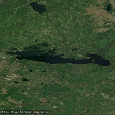
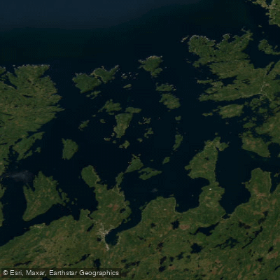
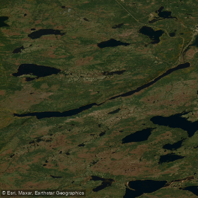
Rodney Pond is a substantial body of water located in central Newfoundland, approximately 17 kilometres south of Gander in Division No. 7. The pond covers roughly 4,250 acres with a shoreline of about 30 miles, making it one of the larger inland water bodies in the region. Its coordinates place it between approximately 48.80°N and 48.84°N latitude, and 54.57°W and 54.71°W longitude.
Access to the pond is via woods roads off the Mint Brook forest access road, which connects to the Trans Canada Highway near Gambo, roughly 30 kilometres to the east. A boat launch exists on the pond, and at least one cabin is located in the vicinity, suggesting some degree of established recreational infrastructure.
Wind is a notable factor on Rodney Pond. Given its size and open character, conditions can deteriorate quickly, and paddlers should plan accordingly. The pond is well known among anglers throughout Newfoundland, particularly for speckled trout (brook trout). Frequently referenced fishing locations include an area known as "the Rocks" on the far side of the pond and the waters immediately adjacent to the boat launch. The pond's reputation as one of the most well-known fishing destinations in Newfoundland suggests regular recreational use.
The surrounding landscape is consistent with central Newfoundland's boreal backcountry character, with the property underlain by the Gander Zone of the Newfoundland Appalachians. Nearby water bodies include the Exploits River approximately 27 miles to the northwest. The combination of the pond's considerable size, remote woodland setting, and variable wind conditions makes it a destination suited to paddlers comfortable with open-water crossings and backcountry travel.
Water access, boat ramps & amenities
Learn how to get on Rodney Pond. Uncover great paddling access points, boat ramps, and all the facilities you need for an unforgettable day on the water. Some locations shown may border or include private property. Always check property boundaries and applicable regulations before visiting. PaddleWays's Public & Private Land layer can help you plan your access with confidence.
Paddle smarter with real-time insights
Whether you're en route and conditions shift or you're looking for the best spot based on current flows, we enable you to make informed decisions on the fly.







Nl licenses and regulations
No licenses or regulations available for Nl.
Find Places to Paddle

Over 400,000 Places to Paddle
Every user gets free access to launch points, boat ramps, and public property parcels.


Water and weather conditions (10 day forecast)
See the best times to paddle Rodney Pond and check the forecast before you go.
No forecast data available.
Explore Nl waters
Top paddling waters
No waters available right now.
Popular Cities
Loading popular cities...
Explore near Rodney Pond

Smarter Paddling Starts in the App.
Paddleways gives you everything you need to plan smarter, paddle better, and own every trip from first launch to takeout.