Norris Arm
- Saltwater
- Bay
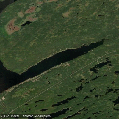
Norris Arm
- Saltwater
- Bay
- Sq. miles
- 2.6
- Boat Ramps
- 0
- Access Points
- 0
- Campsites
- 0
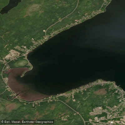
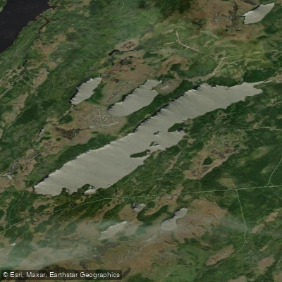
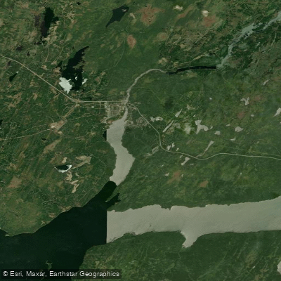
Norris Arm is a coastal community situated on the shores of Notre Dame Bay in Newfoundland and Labrador. The water body itself is a saltwater bay, offering paddlers scenic coastline to explore. The primary known access point for paddlers is Sandy Point Beach, a sandy beach with both freshwater and saltwater characteristics. To reach it, paddlers can park at the Norris Arm Municipal Park and follow a trail that leads down to the beach. The area is recognized for thrilling kayaking adventures, suggesting a dynamic and engaging paddling environment suitable for exploring the rugged shoreline. The broader Exploits Valley region, which includes Norris Arm, is noted for sea kayaking, canoeing, and iceberg viewing opportunities in the spring, indicating that late spring and summer are likely the best seasons for paddling, with the chance to encounter icebergs as a notable sight. The community has a strong maritime history and a tight-knit, welcoming atmosphere, which may be reflected in the local paddling culture. The presence of a defined beach launch and the emphasis on coastal kayaking confirm it as a viable paddling destination. Paddlers should be prepared for typical North Atlantic coastal conditions, including potential for cool water temperatures, wind exposure, and boat traffic, and should consult local sources for more precise navigational and safety information before embarking.
Water access, boat ramps & amenities
Learn how to get on Norris Arm. Uncover great paddling access points, boat ramps, and all the facilities you need for an unforgettable day on the water. Some locations shown may border or include private property. Always check property boundaries and applicable regulations before visiting. PaddleWays's Public & Private Land layer can help you plan your access with confidence.
Paddle smarter with real-time insights
Whether you're en route and conditions shift or you're looking for the best spot based on current flows, we enable you to make informed decisions on the fly.







Nl licenses and regulations
No licenses or regulations available for Nl.
Find Places to Paddle

Over 400,000 Places to Paddle
Every user gets free access to launch points, boat ramps, and public property parcels.


Tides, wind & water conditions (10 day forecast)
On open water, wind and tide matter as much as the weather. See the best times to paddle Norris Arm and check the marine forecast before you launch.
Loading tide predictions…
Explore Nl waters
Top paddling waters
No waters available right now.
Popular Cities
Loading popular cities...
Explore near Norris Arm

Smarter Paddling Starts in the App.
Paddleways gives you everything you need to plan smarter, paddle better, and own every trip from first launch to takeout.