Beothuk Lake
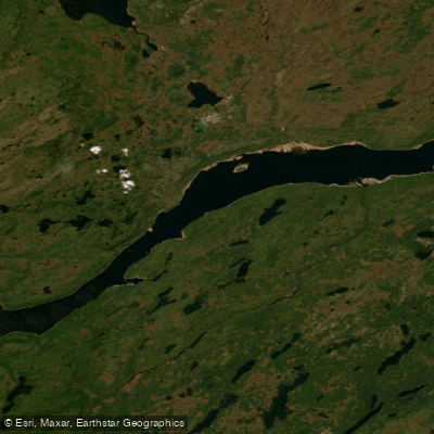
Beothuk Lake
- Boat Ramps
- 1
- Access Points
- 0
- Campsites
- 2
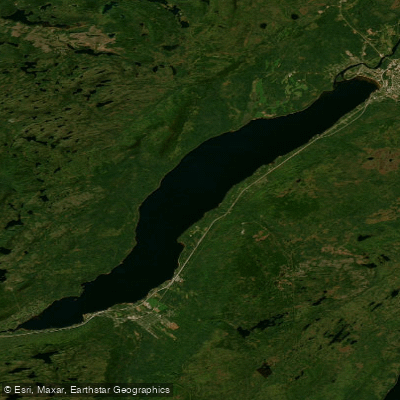
Beothuk Lake sits in the interior of central Newfoundland, in the province of Newfoundland and Labrador, Canada. Formerly known as Red Indian Lake, it was officially renamed Beothuk Lake in November 2021 to honor the Beothuk people, the island's Indigenous inhabitants who used the lake and its surrounding area as a refuge for centuries. The lake is a large body of water fed by Lloyds River, the Victoria River, and Star River, and it drains into the Exploits River, which flows eastward through the interior of Newfoundland and empties into the Atlantic Ocean via the Bay of Exploits.
The lake is best reached by car via Route 370, which branches off the Trans-Canada Highway (Route 1). From Badger, Route 370 North leads approximately 45 kilometres to the lake. Multiple access points exist around the perimeter, with the communities of Millertown and Buchans serving as the primary entry points. Parking is available at various access points and is free of charge.
The lake is considered suitable for kayaking and canoeing. The surrounding landscape is forested, and the area supports diverse wildlife, making it of interest to paddlers who also watch for local fauna and birds. Indian Point is noted as a site of particular historical significance related to the Beothuk people and is worth including in any route planning around the lake.
The broader area around Beothuk Lake carries deep historical and cultural weight. The Beothuk and their ancestors, the Little Passage peoples, inhabited the region for centuries, and the lake served as their last inland refuge as European settlement expanded along the coast. This history is woven into the landscape and is a meaningful part of the paddling context here.
Road conditions in the area can be variable, particularly during winter months, which is worth factoring into trip planning for shoulder-season visits. No specific paddling restrictions or regulations were identified for the lake.
Water access, boat ramps & amenities
Learn how to get on Beothuk Lake. Uncover great paddling access points, boat ramps, and all the facilities you need for an unforgettable day on the water. Some locations shown may border or include private property. Always check property boundaries and applicable regulations before visiting. PaddleWays's Public & Private Land layer can help you plan your access with confidence.
Paddle smarter with real-time insights
Whether you're en route and conditions shift or you're looking for the best spot based on current flows, we enable you to make informed decisions on the fly.







Nl licenses and regulations
No licenses or regulations available for Nl.
Find Places to Paddle

Over 400,000 Places to Paddle
Every user gets free access to launch points, boat ramps, and public property parcels.


Water and weather conditions (10 day forecast)
See the best times to paddle Beothuk Lake and check the forecast before you go.
BEOTHUK LAKE AT INDIAN POINT
Paddling near Beothuk Lake
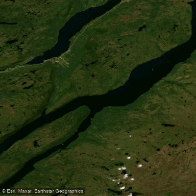
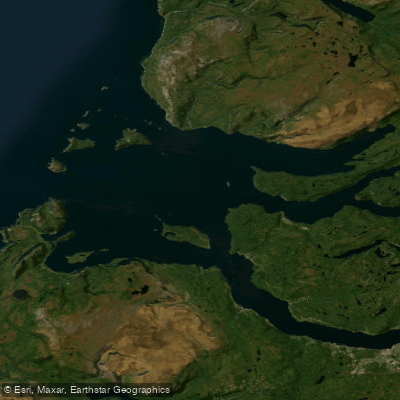
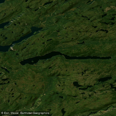
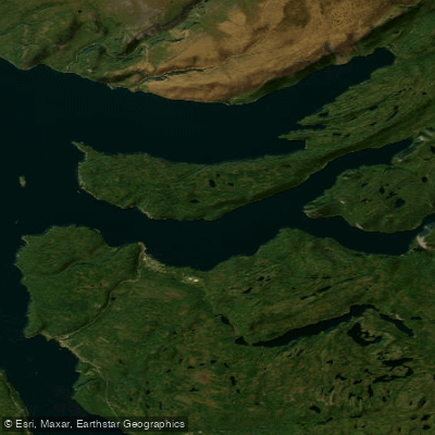
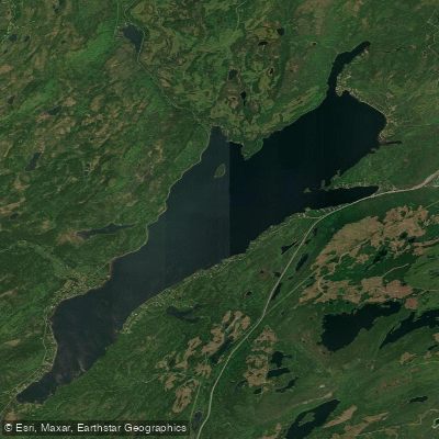
Explore Nl waters
Top paddling waters
No waters available right now.
Popular Cities
Loading popular cities...
Explore near Beothuk Lake

Smarter Paddling Starts in the App.
Paddleways gives you everything you need to plan smarter, paddle better, and own every trip from first launch to takeout.