Hidden Lake
Hidden Lake
- Boat Ramps
- 0
- Access Points
- 0
- Campsites
- 0
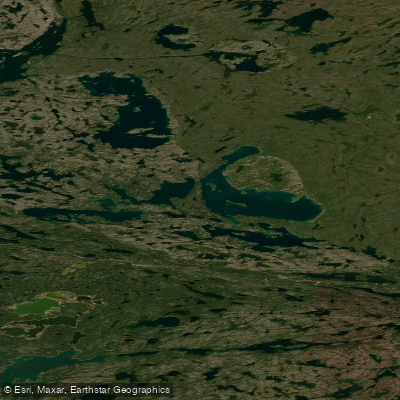
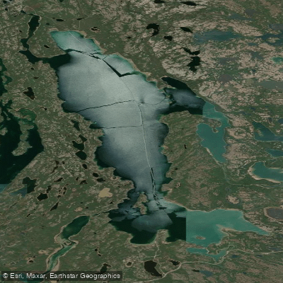
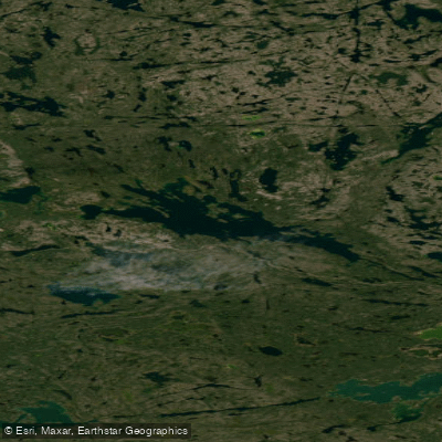
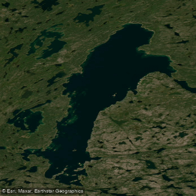
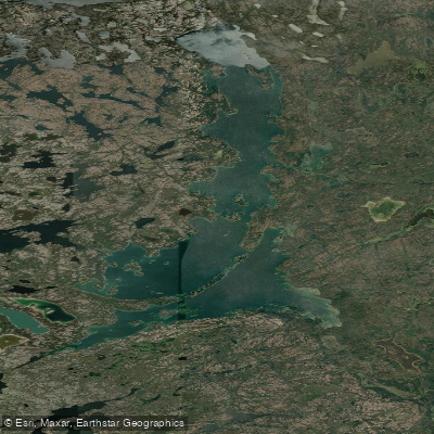
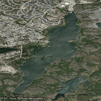
Hidden Lake sits within a 3,000-hectare backcountry territorial park east of Yellowknife, accessed via the Ingraham Trail. The lake itself is approximately 13 kilometres long, though the most scenic areas are concentrated within the first 6 kilometres. Set on the Canadian Shield (Precambrian shield), the landscape features granite outcroppings, numerous islands, and scenic bays and inlets. On sunny days the water takes on a distinctive aquamarine colour. The park also encompasses a network of rivers, tributaries, and wetlands, and supports wildlife including moose, black bear, and wolves.
The primary paddling access point is the Powder Point boat launch on the Cameron River, located at the 45-kilometre mark on the Ingraham Trail. From here, the route to Hidden Lake covers approximately 2.6 kilometres of paddling and portaging, passing through the east arm of Prelude Lake before reaching the lake. There are three portages along this approach. The first is a short five-minute walk; the second is approximately 300 metres along a groomed path with a short uphill and downhill section, where remnants of a small trapper's cabin can be found about 50 metres from the start; the third involves a short steep uphill climb followed by 600 metres of flat terrain. A narrow, meandering creek partway through the third portage can sometimes be used to bypass the middle section, though obstacles and low water levels often make portaging the better choice. All three portages can typically be completed in under two hours.
There are no runnable rapids along the route. The primary hazard is wind: Hidden Lake is large enough that strong winds can generate whitecaps and swells, and paddlers should allow extra time in case of being wind-bound. The total paddle route, including the Cameron River and Prelude Lake approach, is approximately 40 kilometres.
The park has no established facilities or services. Camping is free and backcountry, with no designated sites. Outhouses are available at the parking lot and trailhead. Paddlers are expected to pack out all waste. The park was established in 1987 and is a popular destination for canoeing, kayaking, and fishing. An alternative foot access exists via the Cameron Falls trail at the 48-kilometre mark on the Ingraham Trail, where a bridge above the falls provides entry into the park.
Water access, boat ramps & amenities
Learn how to get on Hidden Lake. Uncover great paddling access points, boat ramps, and all the facilities you need for an unforgettable day on the water. Some locations shown may border or include private property. Always check property boundaries and applicable regulations before visiting. PaddleWays's Public & Private Land layer can help you plan your access with confidence.
Paddle smarter with real-time insights
Whether you're en route and conditions shift or you're looking for the best spot based on current flows, we enable you to make informed decisions on the fly.







Nt licenses and regulations
No licenses or regulations available for Nt.
Find Places to Paddle

Over 400,000 Places to Paddle
Every user gets free access to launch points, boat ramps, and public property parcels.


Water and weather conditions (10 day forecast)
See the best times to paddle Hidden Lake and check the forecast before you go.
No forecast data available.
Explore Nt waters
Top paddling waters
No waters available right now.
Popular Cities
Loading popular cities...
Explore near Hidden Lake

Smarter Paddling Starts in the App.
Paddleways gives you everything you need to plan smarter, paddle better, and own every trip from first launch to takeout.