Prosperous Lake
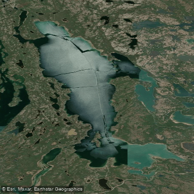
Prosperous Lake
- Boat Ramps
- 0
- Access Points
- 0
- Campsites
- 0
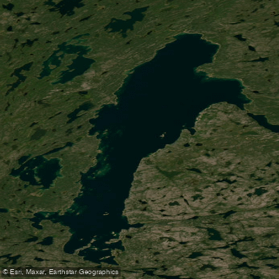
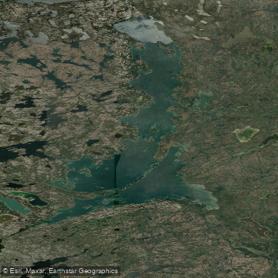
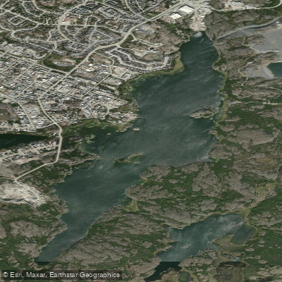
Prosperous Lake sits approximately 20 km east of Yellowknife along the Ingraham Trail (NWT Highway 4), within the broader network of lakes and rivers that make this corridor a popular paddling destination. The lake stretches approximately 16 kilometres and is considerably larger than it appears from the shore, with most of its expanse hidden from view at the access point.
The primary access point is the Prosperous Lake Territorial Park Day Use Area, which features a double boat launch and two floating docks. This launch serves both as a starting point for exploring the lake itself and as a key access point for the Powder Point Paddle Route, which continues downstream to the Yellowknife Bridge near Back Bay on Great Slave Lake. An alternative takeout is at Cassidy Point, located along the western shore near Tartan Rapids. Paddlers arriving via the Cameron River route can also enter Prosperous Lake from the east via a shortcut that involves a 200-metre portage trail and a short crossing of a swampy pond, reducing the total distance on the lake to approximately 3 km to Cassidy Point.
Wind and waves are the primary hazard on Prosperous Lake. The lake's size makes it susceptible to sudden and significant wind events, and paddlers are advised to exercise extreme caution. One account of paddling the lake describes waking to big winds and characterizes Prosperous Lake as "sometimes treacherous." The recommended approach when paddling the full length is to follow the eastern shoreline south for approximately 6 km before crossing to the west at the narrowest point above the large island.
Tartan Rapids, located along the western shore, is a notable stopping point. A trail on the left-hand side provides a portage option, while high cliffs on the right offer views overlooking the lake. From Tartan Rapids, it is a 2.5 km paddle south to Cassidy Point. The lake and surrounding area sit within a Precambrian landscape of lakes, forests, and ancient rocks typical of the Canadian Shield.
The day use area operates year-round and includes washroom facilities. A fishing licence is required for fishing in the Northwest Territories. The park is not wheelchair accessible.
Water access, boat ramps & amenities
Learn how to get on Prosperous Lake. Uncover great paddling access points, boat ramps, and all the facilities you need for an unforgettable day on the water. Some locations shown may border or include private property. Always check property boundaries and applicable regulations before visiting. PaddleWays's Public & Private Land layer can help you plan your access with confidence.
Paddle smarter with real-time insights
Whether you're en route and conditions shift or you're looking for the best spot based on current flows, we enable you to make informed decisions on the fly.







Nt licenses and regulations
No licenses or regulations available for Nt.
Find Places to Paddle

Over 400,000 Places to Paddle
Every user gets free access to launch points, boat ramps, and public property parcels.


Water and weather conditions (10 day forecast)
See the best times to paddle Prosperous Lake and check the forecast before you go.
YELLOWKNIFE RIVER AT OUTLET OF PROSPEROUS LAKE
All Flow Stations
Explore Nt waters
Top paddling waters
No waters available right now.
Popular Cities
Loading popular cities...
Explore near Prosperous Lake

Smarter Paddling Starts in the App.
Paddleways gives you everything you need to plan smarter, paddle better, and own every trip from first launch to takeout.