Brodie Bay
- Saltwater
- Bay
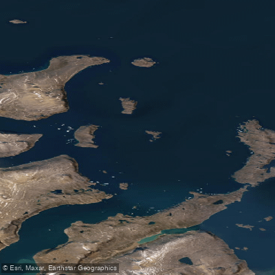
Brodie Bay
- Saltwater
- Bay
- Sq. miles
- 120
- Boat Ramps
- 0
- Access Points
- 0
- Campsites
- 0
Brodie Bay is a coastal bay located within the Home Bay region of Nunavut, Canada, along the eastern shore of Baffin Island. It is situated within Davis Strait. The bay is characterized by its proximity to high cliffs and dramatic fiords, with the surrounding shores rising to heights of approximately 4,000 feet. This geography creates a paddling environment of significant scale and exposure. The area holds historical significance as a location for Inuit hunting, particularly for polar bears from Brodie Bay south to Kangert Fiord, and for walrus in the broader Home Bay region. Archaeologists have identified the area as part of the historic Inuit and Thule culture habitation, with tools such as points excavated from the vicinity. For paddlers, this represents a region of deep cultural heritage. The bay's ice conditions are a critical factor for trip planning. Brodie Bay is one of the few places along the Davis Strait shore, between River Clyde and Padli, where smooth land-fast ice forms in winter, in contrast to the hummocky ice prevalent in more exposed areas. This suggests that during the open-water season, the bay may offer a degree of protection compared to the fully exposed coastline, though it remains a high-latitude Arctic environment subject to severe gales. Narwhal, beluga, and walrus inhabit the adjacent Home Bay area, indicating rich marine life that paddlers may encounter. Paddling here is an expeditionary undertaking suitable only for those with advanced skills in remote Arctic travel, capable of self-rescue in cold water, and prepared for rapidly changing weather and ice conditions.
Water access, boat ramps & amenities
Learn how to get on Brodie Bay. Uncover great paddling access points, boat ramps, and all the facilities you need for an unforgettable day on the water. Some locations shown may border or include private property. Always check property boundaries and applicable regulations before visiting. PaddleWays's Public & Private Land layer can help you plan your access with confidence.
Paddle smarter with real-time insights
Whether you're en route and conditions shift or you're looking for the best spot based on current flows, we enable you to make informed decisions on the fly.








Find Places to Paddle

Over 400,000 Places to Paddle
Every user gets free access to launch points, boat ramps, and public property parcels.


Tides, wind & water conditions (10 day forecast)
On open water, wind and tide matter as much as the weather. See the best times to paddle Brodie Bay and check the marine forecast before you launch.
Loading tide predictions…
Paddling near Brodie Bay
Weasel River
ᐸᓐᓂᖅᑑᑉ ᑲᖏᖅᑐᖓ Pangnirtung Fiord
ᐸᓐᓂᖅᑑᑉ ᐹᖓ Panniqtuup Paanga
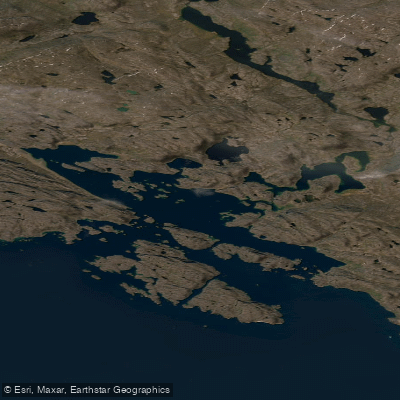
Avataktoo Bay
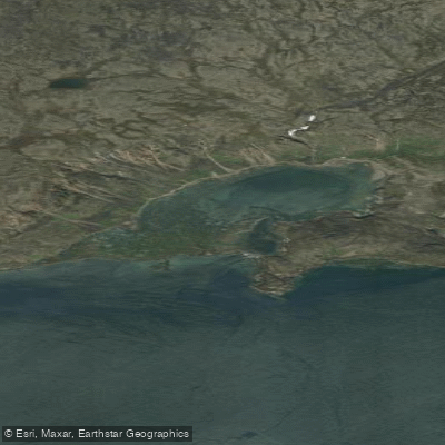
ᐃᕐᖓᓕᐅᑉ ᑕᓯᐅᔭᖓ Irngaliup Tasiujanga
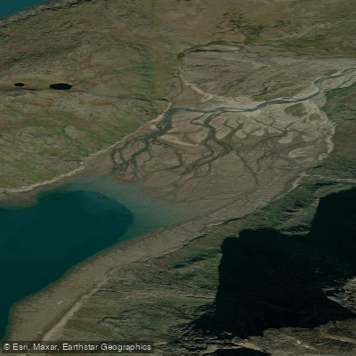
Aulatsivikjuak Bay
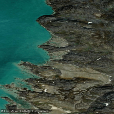
American Harbour
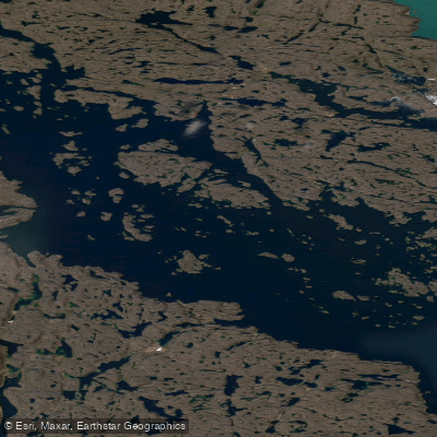
Kangilo Fiord
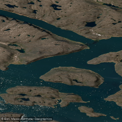
Shark Fiord
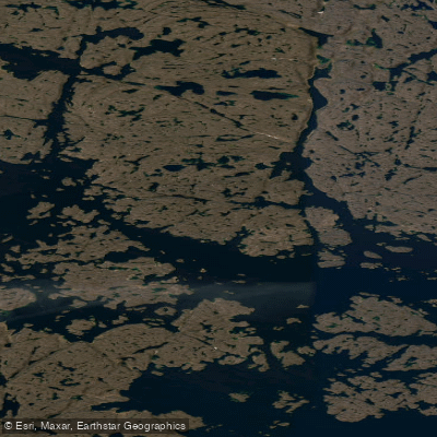
Nettilling Fiord
Explore Nu waters
Top paddling waters
No waters available right now.
Popular Cities
Loading popular cities...

Smarter Paddling Starts in the App.
Paddleways gives you everything you need to plan smarter, paddle better, and own every trip from first launch to takeout.