Meadowbank River
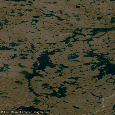
Meadowbank River
- Boat Ramps
- 0
- Access Points
- 0
- Campsites
- 0
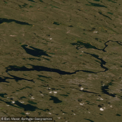
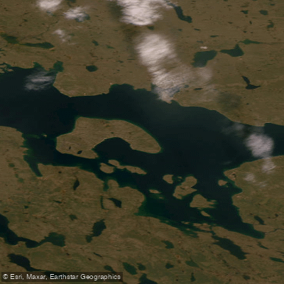
The Meadowbank River is a remote Arctic waterway in Nunavut, Canada, flowing through the Kivalliq region and connecting ultimately with the Back River. The river runs approximately 137 miles in total length and is considered a seldom-paddled route, making it an expedition-grade wilderness experience. It flows generally northward before joining the Back River shortly after Wolf Rapids, and can also be accessed via a series of portages connecting it to the Thelon River system near Baker Lake.
The river's character changes significantly along its length. In its upper reaches near the headwaters, water volume is low — in places barely enough to float a canoe — requiring wading, lining, and portaging over rocky terrain. As the river progresses downstream, it gains volume and passes through a chain of lakes interspersed with rapids. Some of these lakes are described as surprisingly deep. Rocky rapids are a recurring feature throughout the route, and strong winds present a consistent challenge, at times making paddling impractical and requiring lining or wading instead. At least one set of formidable rapids requires a portage on the right bank over rocky cliffs, with a marked portage trail in use.
The upper Meadowbank headwaters area involves upstream travel by tracking, eddy hopping, and portaging, with one portage of approximately 200 metres near the height of land. One documented party covered the full 137 miles in 8 days. The river passes through a landscape of eskers, rocky ridgelines, and tundra lakes. Inukshuk formations are visible on ridgelines above the river in certain sections, reflecting the long Inuit presence in the area. The river corridor supports notable wildlife, including muskoxen (groups of seven and twenty-seven have been observed), loons, whooping cranes, and ptarmigan with chicks. Black flies can be a significant nuisance in calmer sections.
Access to the river typically involves a charter floatplane, with Baker Lake serving as the nearest community and logistical hub. There are no established facilities for paddlers along the route. The expedition is best suited to experienced wilderness canoeists comfortable with remote Arctic travel, self-rescue, and extended portaging. The Meadowbank has historical significance as part of a route used by U.S. Army Lt. Frederick Schwatka in 1880 during his search for Franklin expedition papers.
Water access, boat ramps & amenities
Learn how to get on Meadowbank River. Uncover great paddling access points, boat ramps, and all the facilities you need for an unforgettable day on the water. Some locations shown may border or include private property. Always check property boundaries and applicable regulations before visiting. PaddleWays's Public & Private Land layer can help you plan your access with confidence.
Paddle smarter with real-time insights
Whether you're en route and conditions shift or you're looking for the best spot based on current flows, we enable you to make informed decisions on the fly.








Find Places to Paddle

Over 400,000 Places to Paddle
Every user gets free access to launch points, boat ramps, and public property parcels.


Water and weather conditions (10 day forecast)
See the best times to paddle Meadowbank River and check the forecast before you go.
No forecast data available.
Explore Nu waters
Top paddling waters
No waters available right now.
Popular Cities
Loading popular cities...
Explore near Meadowbank River
More in Nu

Smarter Paddling Starts in the App.
Paddleways gives you everything you need to plan smarter, paddle better, and own every trip from first launch to takeout.