Princess Mary Lake
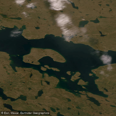
Princess Mary Lake
- Boat Ramps
- 0
- Access Points
- 0
- Campsites
- 0
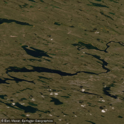
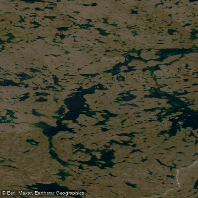
Princess Mary Lake is a large freshwater lake situated in the Kivalliq Region of Nunavut, Canada, at coordinates 63°57′N 97°35′W. Known in Inuktitut as Tahijuaq tuklirpaar, the lake sits at an elevation of 116 m (381 ft) above sea level and covers a surface area of approximately 471 km² (182 sq mi), making it a substantial body of water by any measure. Its origin is glacial scour, which accounts for its considerable depth potential and irregular shoreline character.
The lake contains numerous islands that collectively occupy roughly 53 km² of the total surface area, offering paddlers a complex and varied environment to navigate. The Kunwak River serves as both the primary inflow and outflow, connecting the lake to the broader watershed.
The climate is classified as cold with cold summers and no distinct dry season, which defines the paddling window. Conditions are typical of the subarctic Kivalliq Region, with a short warm season and the ever-present possibility of rapid weather changes. Paddlers should plan accordingly, as the remoteness of the location means emergency assistance is not readily available. A documented wilderness canoe trip in the area involved a grizzly bear encounter, underscoring that wildlife safety — including carrying bear spray — is a serious consideration for anyone traveling in this region.
Wildlife around the lake includes caribou and foxes. Fish species documented in the broader surrounding waters include lake char (lake trout), Arctic char, and Arctic grayling, suggesting the lake and its connecting river system support cold-water fish communities typical of the region.
Given the lake's remote location in Nunavut, paddlers should expect no developed facilities or amenities. Self-sufficiency, thorough pre-trip planning, and appropriate safety equipment including satellite communication devices are essential for any expedition here.
Water access, boat ramps & amenities
Learn how to get on Princess Mary Lake. Uncover great paddling access points, boat ramps, and all the facilities you need for an unforgettable day on the water. Some locations shown may border or include private property. Always check property boundaries and applicable regulations before visiting. PaddleWays's Public & Private Land layer can help you plan your access with confidence.
Paddle smarter with real-time insights
Whether you're en route and conditions shift or you're looking for the best spot based on current flows, we enable you to make informed decisions on the fly.








Find Places to Paddle

Over 400,000 Places to Paddle
Every user gets free access to launch points, boat ramps, and public property parcels.


Water and weather conditions (10 day forecast)
See the best times to paddle Princess Mary Lake and check the forecast before you go.
No forecast data available.
Explore Nu waters
Top paddling waters
No waters available right now.
Popular Cities
Loading popular cities...
Explore near Princess Mary Lake
More in Nu

Smarter Paddling Starts in the App.
Paddleways gives you everything you need to plan smarter, paddle better, and own every trip from first launch to takeout.