Schultz Lake
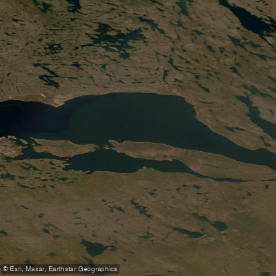
Schultz Lake
- Boat Ramps
- 0
- Access Points
- 0
- Campsites
- 0
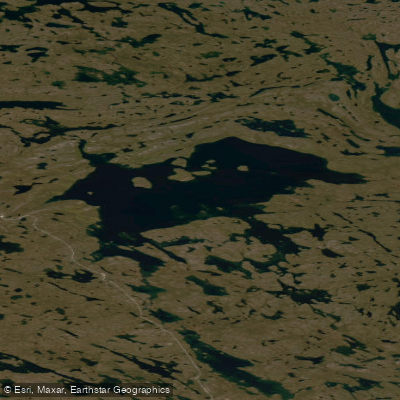
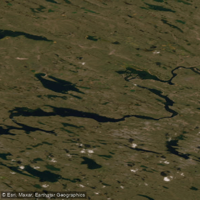
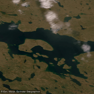
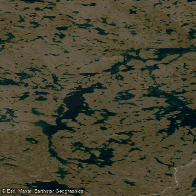
Schultz Lake is a large lake in the Keewatin region of Nunavut, located along the Thelon River system at approximately 64.58°N, 96.91°W. It sits downstream of Aberdeen Lake and upstream of Baker Lake, forming part of a chain of major lakes — Beverly, Aberdeen, and Schultz — that together span a combined distance of roughly 180 kilometres along the lower Thelon corridor. This scale makes windbound delays a significant and well-documented hazard; paddlers planning the lower Thelon should budget extra days specifically for weather holds on these open-water stretches.
The lake is reached via the Thelon River, with the entry point at Aggattalik Narrows below Qamanaarjuk Lake, where the river flows into Schultz Lake. Despite fast water being indicated on topographic maps at this narrows, paddlers who have run it on multiple occasions have reported negligible current there. The exit from Schultz Lake involves a section of fast water before the river turns sharply to the right, so paddlers should be alert as they approach the outlet.
Ice is a genuine concern on Schultz Lake, even in July. Historical accounts document canoes encountering ice on the lake's surface well into the summer season, and this possibility should factor into trip timing and planning.
The lake and its surrounding shores hold notable archaeological significance, with the area around Schultz Lake recognized for its concentration of historic and cultural sites. The Iarurjuaq Peninsula in this region is specifically noted for its archaeological interest. Historically, the Caribou Inuit favoured the shores of Schultz, Aberdeen, and Beverly Lakes over the more heavily forested and mosquito-prone stretches of the upper Thelon corridor.
Motor boaters from Baker Lake regularly travel upriver to fish Aberdeen and Schultz Lake, so paddlers should expect some motorized traffic in the area. Fishing on Schultz Lake falls under Nunavut regulations; non-resident anglers require a Nunavut Fishing Permit. Paddlers finishing a Thelon River trip should check in with the Baker Lake RCMP upon arrival to confirm safe completion of the journey. Topographic map coverage for the Schultz Lake to Baker Lake section is available through commercial map suppliers as part of dedicated Thelon River map sets.
Water access, boat ramps & amenities
Learn how to get on Schultz Lake. Uncover great paddling access points, boat ramps, and all the facilities you need for an unforgettable day on the water. Some locations shown may border or include private property. Always check property boundaries and applicable regulations before visiting. PaddleWays's Public & Private Land layer can help you plan your access with confidence.
Paddle smarter with real-time insights
Whether you're en route and conditions shift or you're looking for the best spot based on current flows, we enable you to make informed decisions on the fly.








Find Places to Paddle

Over 400,000 Places to Paddle
Every user gets free access to launch points, boat ramps, and public property parcels.


Water and weather conditions (10 day forecast)
See the best times to paddle Schultz Lake and check the forecast before you go.
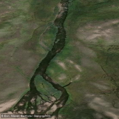
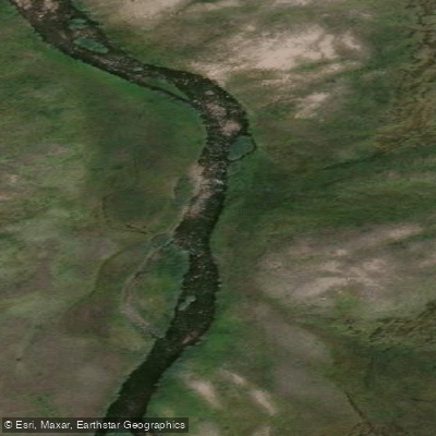
THELON RIVER BELOW OUTLET OF SCHULTZ LAKE
Explore Nu waters
Top paddling waters
No waters available right now.
Popular Cities
Loading popular cities...
Explore near Schultz Lake
More in Nu

Smarter Paddling Starts in the App.
Paddleways gives you everything you need to plan smarter, paddle better, and own every trip from first launch to takeout.