ᐸᓐᓂᖅᑑᕈᓗᒃ North Pangnirtung Fiord
- Saltwater
- Bay
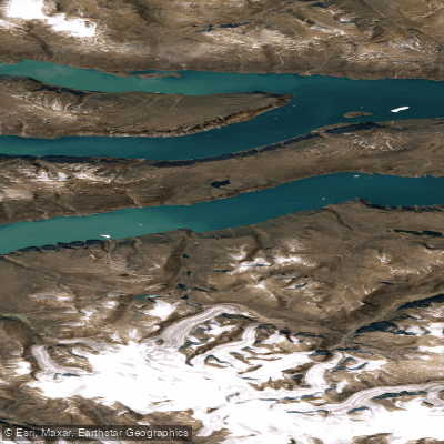
ᐸᓐᓂᖅᑑᕈᓗᒃ North Pangnirtung Fiord
- Saltwater
- Bay
- Sq. miles
- 65
- Boat Ramps
- 0
- Access Points
- 0
- Campsites
- 0
North Pangnirtung Fiord is a major coastal fjord on Baffin Island within Auyuittuq National Park, opening into the Davis Strait. It serves as the northern terminus for the 97-kilometer Akshayuk Pass, a traditional Inuit travel corridor through the southern Baffin Mountains. The fiord is characterized by spectacular mountain scenery, including views of peaks like Mount Thor, which features the world's highest vertical drop. Access for paddlers is remote and logistically complex. The closest community is Qikiqtarjuaq, located approximately 82 kilometers from the head of the fiord. Reaching the trailhead and any potential launch point requires support and boat transportation from guides and outfitters in either Qikiqtarjuaq or Pangnirtung, the community at the southern end of the pass. There are no described facilities or amenities at the fiord itself. The area receives very little visitation and is an unmarked wilderness. All visitors to Auyuittuq National Park must obtain permits and undergo mandatory polar bear safety training provided by Parks Canada. Strict leave-no-trace rules are enforced. The paddling experience would be defined by profound isolation, significant logistical planning for marine access, and exposure to Arctic coastal conditions including wind, cold water, and potential for ice. The primary activity documented is as a destination for hiking expeditions traversing the Akshayuk Pass, with the fiord itself acting as a dramatic gateway.
Water access, boat ramps & amenities
Learn how to get on ᐸᓐᓂᖅᑑᕈᓗᒃ North Pangnirtung Fiord. Uncover great paddling access points, boat ramps, and all the facilities you need for an unforgettable day on the water. Some locations shown may border or include private property. Always check property boundaries and applicable regulations before visiting. PaddleWays's Public & Private Land layer can help you plan your access with confidence.
Paddle smarter with real-time insights
Whether you're en route and conditions shift or you're looking for the best spot based on current flows, we enable you to make informed decisions on the fly.








Find Places to Paddle

Over 400,000 Places to Paddle
Every user gets free access to launch points, boat ramps, and public property parcels.


Tides, wind & water conditions (10 day forecast)
On open water, wind and tide matter as much as the weather. See the best times to paddle ᐸᓐᓂᖅᑑᕈᓗᒃ North Pangnirtung Fiord and check the marine forecast before you launch.
Loading tide predictions…
Paddling near ᐸᓐᓂᖅᑑᕈᓗᒃ North Pangnirtung Fiord
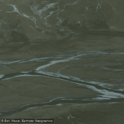
Weasel River
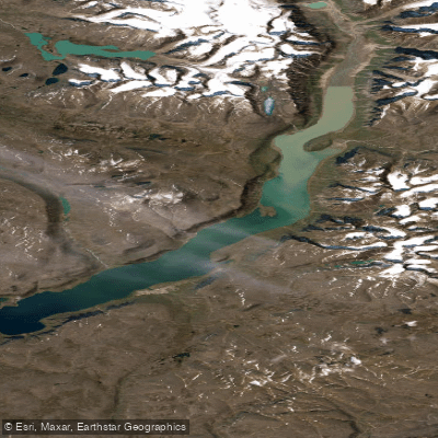
ᐸᓐᓂᖅᑑᑉ ᑲᖏᖅᑐᖓ Pangnirtung Fiord
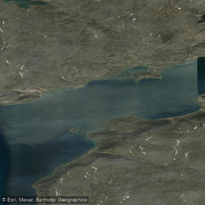
ᐸᓐᓂᖅᑑᑉ ᐹᖓ Panniqtuup Paanga
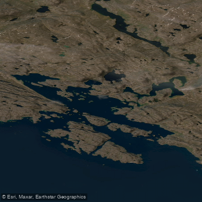
Avataktoo Bay
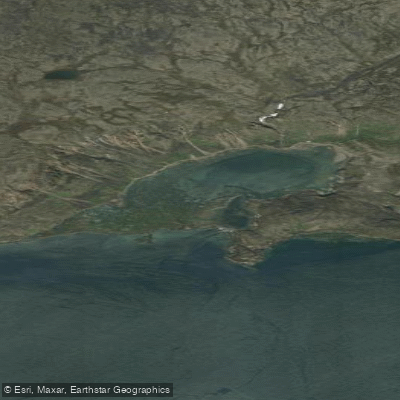
ᐃᕐᖓᓕᐅᑉ ᑕᓯᐅᔭᖓ Irngaliup Tasiujanga
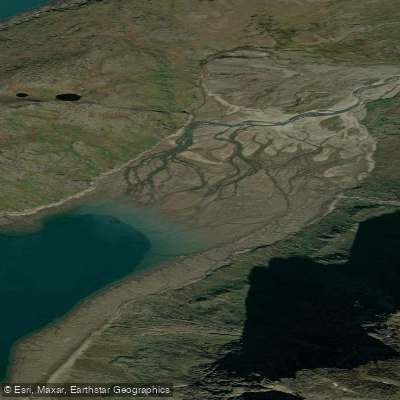
Aulatsivikjuak Bay
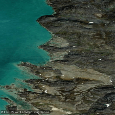
American Harbour
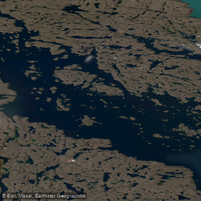
Kangilo Fiord
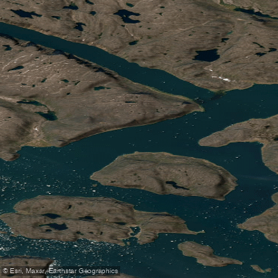
Shark Fiord
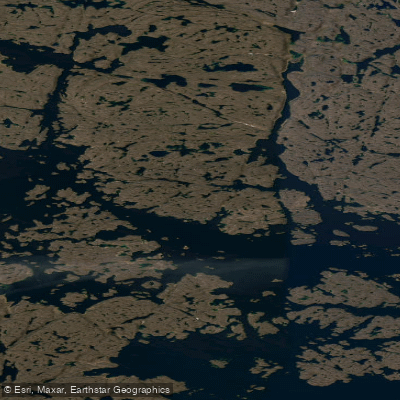
Nettilling Fiord
Explore Nu waters
Top paddling waters
No waters available right now.
Popular Cities
Loading popular cities...
Explore near ᐸᓐᓂᖅᑑᕈᓗᒃ North Pangnirtung Fiord

Smarter Paddling Starts in the App.
Paddleways gives you everything you need to plan smarter, paddle better, and own every trip from first launch to takeout.