Okoa Bay
- Saltwater
- Bay
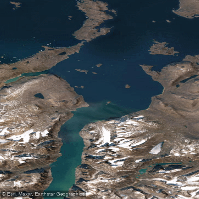
Okoa Bay
- Saltwater
- Bay
- Sq. miles
- 101
- Boat Ramps
- 0
- Access Points
- 0
- Campsites
- 0
Okoa Bay is a remote coastal bay within Auyuittuq National Park on Baffin Island, Nunavut. It is situated in the northern part of the park, an area noted for its significance to the Inuit of Qikiqtarjuaq for cultural activities and harvesting, though it currently receives few visitors. The bay's inner part runs between high cliffs that are backed by snow fields, and it terminates at the face of a large glacier. This creates a dramatic, high-latitude paddling environment characterized by icebergs, glacial features, and a raw Arctic landscape. The shores are of moderate elevation, transitioning to these high cliffs further in. A notable seven-meter tidal range creates wide, boulder-strewn intertidal flats, which significantly impact launch and landing logistics; paddlers must carefully time their trips to avoid being stranded by the receding tide or having to navigate extensive rocky areas. The bay provides access to the Penny Ice Cap, with historical expeditions having pioneered overland routes from here to Glacier Lake. Given its location within a National Park, paddlers must adhere to all Parks Canada regulations, which may include requirements for registration, use of designated routes, and strict leave-no-trace practices. The area is a polar bear habitat, necessitating appropriate safety precautions and vigilance. The best season for paddling would be during the brief Arctic summer when ice conditions permit, though the water remains cold year-round. There are no established facilities, amenities, or specific water quality issues, underscoring the need for complete self-sufficiency. The overall experience is one of profound isolation and challenging conditions, suited only for highly experienced, expedition-style paddlers prepared for significant tidal swings, potential ice hazards, and unpredictable weather.
Water access, boat ramps & amenities
Learn how to get on Okoa Bay. Uncover great paddling access points, boat ramps, and all the facilities you need for an unforgettable day on the water. Some locations shown may border or include private property. Always check property boundaries and applicable regulations before visiting. PaddleWays's Public & Private Land layer can help you plan your access with confidence.
Paddle smarter with real-time insights
Whether you're en route and conditions shift or you're looking for the best spot based on current flows, we enable you to make informed decisions on the fly.








Find Places to Paddle

Over 400,000 Places to Paddle
Every user gets free access to launch points, boat ramps, and public property parcels.


Tides, wind & water conditions (10 day forecast)
On open water, wind and tide matter as much as the weather. See the best times to paddle Okoa Bay and check the marine forecast before you launch.
Loading tide predictions…
Paddling near Okoa Bay
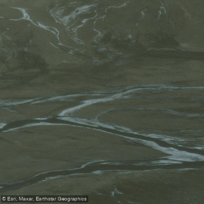
Weasel River
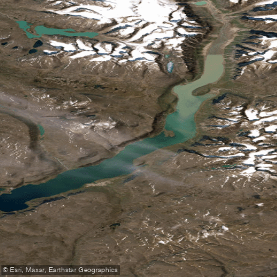
ᐸᓐᓂᖅᑑᑉ ᑲᖏᖅᑐᖓ Pangnirtung Fiord
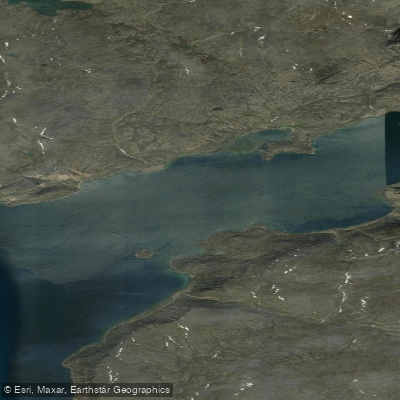
ᐸᓐᓂᖅᑑᑉ ᐹᖓ Panniqtuup Paanga
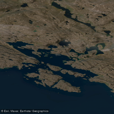
Avataktoo Bay
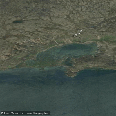
ᐃᕐᖓᓕᐅᑉ ᑕᓯᐅᔭᖓ Irngaliup Tasiujanga
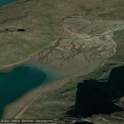
Aulatsivikjuak Bay
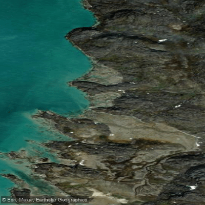
American Harbour
Kangilo Fiord
Shark Fiord
Nettilling Fiord
Explore Nu waters
Top paddling waters
No waters available right now.
Popular Cities
Loading popular cities...

Smarter Paddling Starts in the App.
Paddleways gives you everything you need to plan smarter, paddle better, and own every trip from first launch to takeout.