Holland River East Branch
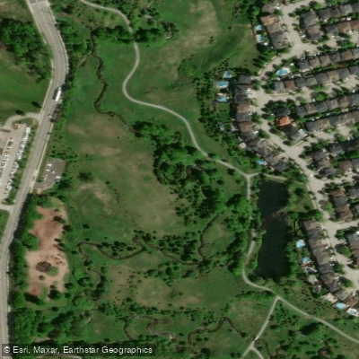
Holland River East Branch
- Boat Ramps
- 2
- Access Points
- 0
- Campsites
- 1
The Holland River East Branch is a river in Ontario that originates around Newmarket and flows northward, eventually emptying into the southwest end of Cook's Bay on Lake Simcoe. It is one of four rivers that drain the Oak Ridges Moraine, alongside the Humber, Don, and Rouge rivers. The East Branch is distinct from the West Branch, which begins south of Bradford.
A commonly recommended put-in is River Drive Park, just north of Queensville Sideroad East near Holland Landing. From there, the favored route heads north along the Holland River toward Cook's Bay on Lake Simcoe. Another access point exists near Green Lane, where a dirt lot adjacent to a driving range provides parking. The AllTrails listing describes a 7.2-mile out-and-back paddle near Bradford, rated as moderately challenging.
Water levels on the East Branch can be low, particularly in fall, and paddlers should be prepared to encounter shallow, rocky sections where wading may be necessary. Motorboat traffic is present along portions of the river, so paddlers should remain alert to other vessel traffic. Holland River Marina, located at 21259 Bathurst St in Holland Landing on the East Branch, serves as a facility for boaters approaching from Lake Simcoe.
Wildlife sightings reported by paddlers include carp, black crappie, beavers, minks, deer, and great blue herons. Fishing records from the river note common carp, largemouth bass, creek chub, rock bass, and black bullhead as species present. Paddlers who start early in the day tend to have the best wildlife encounters.
The river passes through a largely natural corridor, and the overall character of the paddle is a relatively flat, slow-moving waterway suited to canoes, kayaks, and paddleboards. The route near Holland Landing connects to the broader Lake Simcoe system, which in turn provides access to the Trent-Severn Waterway. The area around the river has historical ties to the surrounding communities of Holland Landing and East Gwillimbury.
Water access, boat ramps & amenities
Learn how to get on Holland River East Branch. Uncover great paddling access points, boat ramps, and all the facilities you need for an unforgettable day on the water. Some locations shown may border or include private property. Always check property boundaries and applicable regulations before visiting. PaddleWays's Public & Private Land layer can help you plan your access with confidence.
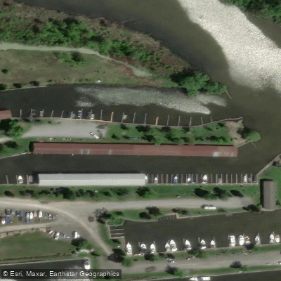
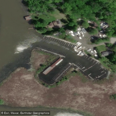
Paddle smarter with real-time insights
Whether you're en route and conditions shift or you're looking for the best spot based on current flows, we enable you to make informed decisions on the fly.








Find Places to Paddle

Over 400,000 Places to Paddle
Every user gets free access to launch points, boat ramps, and public property parcels.


Water and weather conditions (10 day forecast)
See the best times to paddle Holland River East Branch and check the forecast before you go.
HOLLAND RIVER EAST BRANCH AT HOLLAND LANDING
Paddling near Holland River East Branch
Explore On waters
Top paddling waters
No waters available right now.
Popular Cities
Loading popular cities...
Explore near Holland River East Branch

Smarter Paddling Starts in the App.
Paddleways gives you everything you need to plan smarter, paddle better, and own every trip from first launch to takeout.