Etobicoke Creek
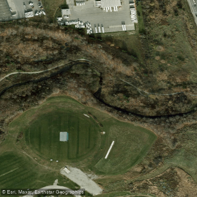
Etobicoke Creek
- Boat Ramps
- 2
- Access Points
- 1
- Campsites
- 0
Etobicoke Creek is a river in the Greater Toronto Area of Ontario, Canada, running from Caledon south through Etobicoke to Lake Ontario, where it empties as a tributary. The creek falls within the jurisdiction of the Toronto and Region Conservation Authority. Its total corridor extends over 50 kilometres, though the paddlable section is considerably shorter and highly dependent on water levels.
The creek is only navigable by canoe or kayak during flood conditions or following significant rainfall, as water levels are otherwise too low to paddle. In flood, the lower sections of the creek become continuous, pushy whitewater with few eddies and limited opportunities to pull out safely. This makes it a demanding run that requires careful judgment about conditions before launching. The best-documented route runs from Burnhamthorpe Road to Lake Ontario, with public parks at both ends serving as put-in and take-out points. Late winter and the period immediately following heavy storms represent the most likely windows when adequate water levels exist.
Several hazards warrant attention. A seasonal dam at Markland Woods Golf Course near Bloor Street can present complications depending on water levels and time of year. There is also a weir near Convair Drive at the end of the south runway, and a dam near Longbranch GO Station closer to the lake. Paddlers should scout these features carefully. The creek offers few eddies throughout, so the continuous nature of the whitewater leaves little room for recovery or scouting mid-run.
One historically notable feature along the route is a rare remaining arch concrete bridge near a hospital, which stands as a point of interest for those running the creek. The surrounding corridor transitions through urban and semi-natural landscapes typical of Greater Toronto's ravine system.
Because water levels are unpredictable and the window of paddlability is narrow and weather-dependent, organizing group events on Etobicoke Creek is difficult. Those considering a run should monitor conditions closely and be prepared for a fast, committing stretch of water with limited bailout options.
Water access, boat ramps & amenities
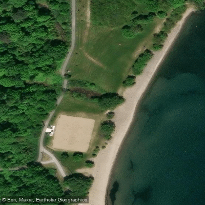
Learn how to get on Etobicoke Creek. Uncover great paddling access points, boat ramps, and all the facilities you need for an unforgettable day on the water. Some locations shown may border or include private property. Always check property boundaries and applicable regulations before visiting. PaddleWays's Public & Private Land layer can help you plan your access with confidence.
Paddle smarter with real-time insights
Whether you're en route and conditions shift or you're looking for the best spot based on current flows, we enable you to make informed decisions on the fly.








Find Places to Paddle

Over 400,000 Places to Paddle
Every user gets free access to launch points, boat ramps, and public property parcels.


Water and weather conditions (10 day forecast)
See the best times to paddle Etobicoke Creek and check the forecast before you go.
ETOBICOKE CREEK AT BRAMPTON
All Flow Stations
Paddling near Etobicoke Creek
Explore On waters
Top paddling waters
No waters available right now.
Popular Cities
Loading popular cities...
Explore near Etobicoke Creek

Smarter Paddling Starts in the App.
Paddleways gives you everything you need to plan smarter, paddle better, and own every trip from first launch to takeout.