Petticoat Creek
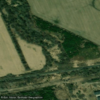
Petticoat Creek
- Boat Ramps
- 0
- Access Points
- 0
- Campsites
- 0
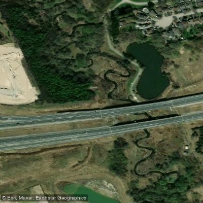
Petticoat Creek is a small stream located in Pickering, Ontario, flowing through the Petticoat Creek Conservation Park managed by the Toronto and Region Conservation Authority (TRCA) before emptying into Lake Ontario on its north shore. The creek sits at approximately 43°48′N 79°07′W and is most commonly accessed as part of a Lake Ontario coastal paddle rather than as a standalone creek route.
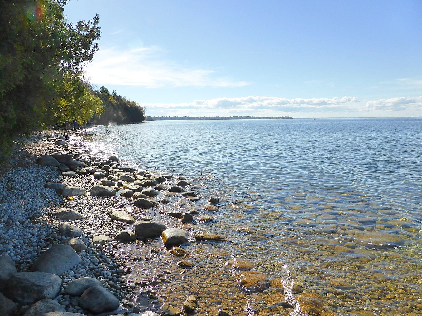
Paddlers typically approach Petticoat Creek from the lake itself. One common route involves launching from Frenchman's Bay and paddling west along the Lake Ontario shoreline to the creek's mouth. As paddlers approach from the east, there are submerged rocks in the water near the creek's entrance that require attention. At the mouth of the creek, there is a small beach with driftwood that serves as a natural rest stop.
Looking up the creek from the lake, paddlers can observe a marsh environment supporting mallards, Canada geese, marsh wrens, red-winged blackbirds, swallows, and kingfishers. The bluffs flanking the creek are a noted stopover for migratory birds during spring northward migration, including various warblers, kinglets, cedar waxwings, finches, and raptors. The surrounding conservation park is home to 69 tree species including willows, oak, birch, and pine, and supports white-tailed deer, fox, and red-tailed hawks. Fish are visible around the submerged rocks near the creek mouth, and the creek itself supports rainbow trout, Chinook salmon, and brook trout.
Spring is highlighted as a particularly rewarding time to visit for birdwatching, as migrating species rest in the creek's bluffs after crossing Lake Ontario. The Waterfront Trail bridge crossing the creek offers views of the conservation area and is part of the 730-kilometre Lake Ontario Waterfront Trail. The bluffs above the creek provide panoramic views of Lake Ontario.
The conservation park at 1100 Whites Road South, Pickering, includes picnic facilities, washrooms, accessible trails, a playground, and a large outdoor swimming pool, though these amenities are primarily oriented toward land-based visitors. The park operates seasonally from May through October and charges paid admission and parking fees. Paddlers should note that a Watershed Conditions Statement — Water Safety is in effect for TRCA-managed waterways, advising caution around all rivers and shorelines.
Water access, boat ramps & amenities
Learn how to get on Petticoat Creek. Uncover great paddling access points, boat ramps, and all the facilities you need for an unforgettable day on the water. Some locations shown may border or include private property. Always check property boundaries and applicable regulations before visiting. PaddleWays's Public & Private Land layer can help you plan your access with confidence.
Paddle smarter with real-time insights
Whether you're en route and conditions shift or you're looking for the best spot based on current flows, we enable you to make informed decisions on the fly.








Find Places to Paddle

Over 400,000 Places to Paddle
Every user gets free access to launch points, boat ramps, and public property parcels.


Water and weather conditions (10 day forecast)
See the best times to paddle Petticoat Creek and check the forecast before you go.
No forecast data available.
Paddling near Petticoat Creek
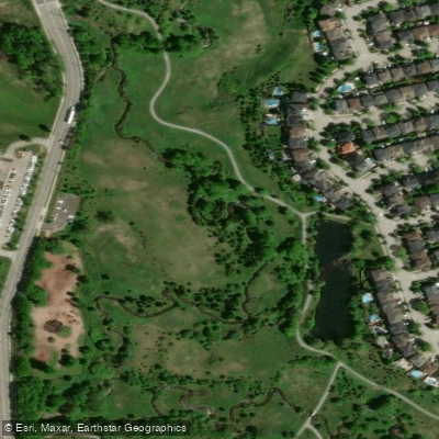
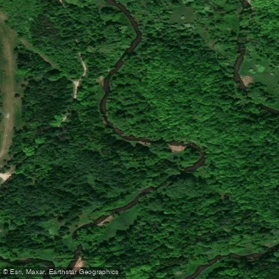
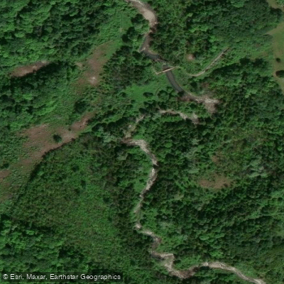
Explore On waters
Top paddling waters
No waters available right now.
Popular Cities
Loading popular cities...
Explore near Petticoat Creek

Smarter Paddling Starts in the App.
Paddleways gives you everything you need to plan smarter, paddle better, and own every trip from first launch to takeout.