Holland River
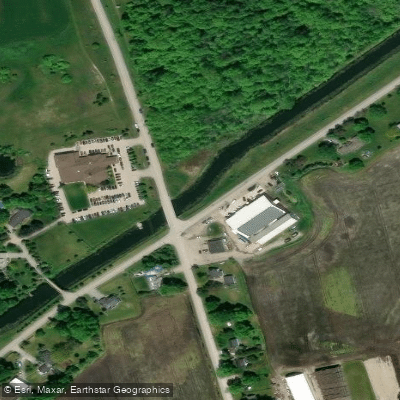
Holland River
- Boat Ramps
- 3
- Access Points
- 0
- Campsites
- 0
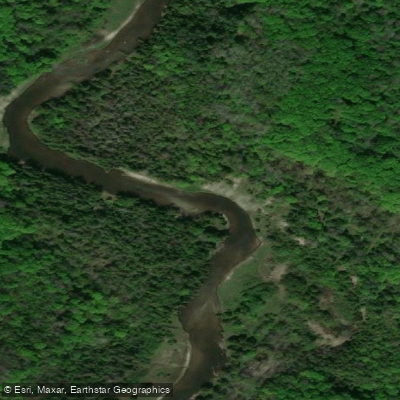
The Holland River in Ontario flows through the southern Lake Simcoe region, with its East Branch running north from Newmarket through Holland Landing before joining the West Holland River and eventually emptying into Cook's Bay on Lake Simcoe. The river passes through a diverse wetland environment for much of its lower reach, with limited opportunities to land along the banks in those sections. A dam constructed in Newmarket in 1801 created Fairy Lake, which remains a feature of the river today.
A popular route runs from Holland Landing to the river's mouth on Cook's Bay — approximately 10 kilometres one way, making for a 20-kilometre return trip. Because the wetland character of this stretch offers virtually no landing spots, paddlers should be prepared to complete the full distance without a break on shore. Another described route covers roughly 15 kilometres between River Drive Park and Fairy Lake in the Newmarket area. For those launching from Bradford, a put-in exists just south of the Holland River bridge on Highway 88 (Canal Road), from which paddlers can follow the river north to Lake Simcoe. A launch in Gilford at the end of Highway 89 has also been used to access the river near its mouth.
The river has no meaningful current to speak of, making it a flatwater paddle in both directions. Power boats do frequent the area, particularly in the lower reaches toward Cook's Bay. Some sections are quite shallow, and paddlers should watch for submerged hazards including sunken metal. Steep, bushy shorelines with barbed-wire fencing have been noted in certain stretches, requiring caution when portaging or landing. The upper sections above Queensville Side Road are particularly shallow and may be impassable for vessels with a fin.
Wildlife along the river includes herons, kingfishers, turtles, dragonflies, beavers, and otters. The corridor features overhanging maples and willows, and the wetland sections provide a naturalistic setting. Spring brings higher water levels that can ease passage through shallower areas, though insects can be significant. Summer offers warmer conditions and gentler flow. The river is suitable for kayaks and canoes in its more navigable sections, though some upper stretches have been described as accessible only by paddleboard due to shallow depth.
Water access, boat ramps & amenities
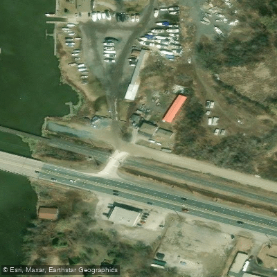
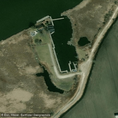
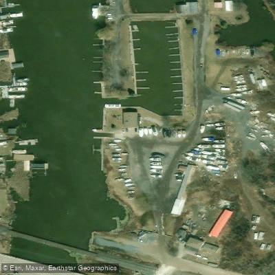
Learn how to get on Holland River. Uncover great paddling access points, boat ramps, and all the facilities you need for an unforgettable day on the water. Some locations shown may border or include private property. Always check property boundaries and applicable regulations before visiting. PaddleWays's Public & Private Land layer can help you plan your access with confidence.
Paddle smarter with real-time insights
Whether you're en route and conditions shift or you're looking for the best spot based on current flows, we enable you to make informed decisions on the fly.








Find Places to Paddle

Over 400,000 Places to Paddle
Every user gets free access to launch points, boat ramps, and public property parcels.


Water and weather conditions (10 day forecast)
See the best times to paddle Holland River and check the forecast before you go.
SCHOMBERG RIVER NEAR SCHOMBERG
Paddling near Holland River
Explore On waters
Top paddling waters
No waters available right now.
Popular Cities
Loading popular cities...
Explore near Holland River

Smarter Paddling Starts in the App.
Paddleways gives you everything you need to plan smarter, paddle better, and own every trip from first launch to takeout.