Paddling in Aulavik National Park
- National Park
- Lakes
- 6
- Rivers
- 9
- Access
- 0
- Boat Ramps
- 0
- Shops
- 0
Aulavik sits on the northern end of Banks Island in the Northwest Territories, reachable only by charter aircraft out of Inuvik, roughly 750 kilometres to the southwest.
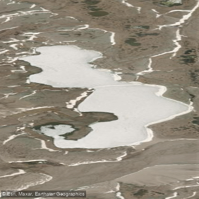
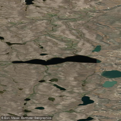
The park protects more than 12,000 square kilometres of arctic lowlands, and its paddling is built around a single river that defines the entire experience.
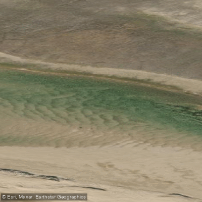
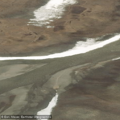
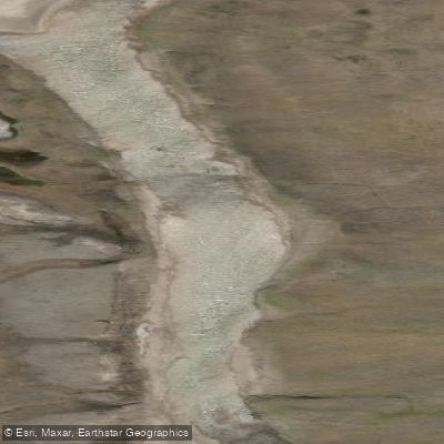
The Thomsen River is one of the most northerly navigable waterways in North America and holds Canadian Heritage River designation. It runs 160 kilometres north through the park, Class 1 throughout — no rapids, no portages, no obstructions.
The current is slow and the valley broad, which means paddlers move at the pace of the tundra around them.
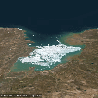
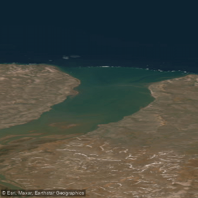
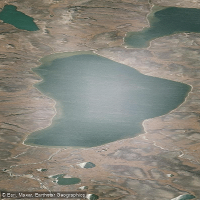
Trips typically put in near the park's southern boundary, or at the headwater lakes, or at Green Cabin, and take out at Muskox River or Castel Bay on M'Clure Strait.
Plan on two to three weeks on the water, which also leaves room for weather days and hiking the river corridor. Timing matters more here than on almost any other river.
The Thomsen can stay iced over into mid-June, and by early August the lower reaches may be too shallow to float a loaded canoe. The window is late June to late July, riding the spring freshet after ice-out.
Miss it in either direction and the river may not cooperate. Anyone entering the park — including all marine areas — requires authorization from Parks Canada, normally through a visitor use permit.
Fishing in park waters is permitted only by angling; check with Parks Canada in Inuvik for current regulations before you go.
Campfires are not permitted anywhere in the park, so bring a camp stove and fuel — purchase it in Inuvik, since scheduled aircraft won't carry it.
There are no designated campsites; you can pitch anywhere except at archaeological sites, and everything you carry in comes back out with you. Canoe rentals are available in Inuvik for those flying in independently.
The park's isolation is real: search and rescue operates out of Inuvik, response times can run a day or more depending on weather and aircraft availability, and self-sufficiency is not optional.
The Thomsen doesn't ask much of your paddle strokes — it asks everything else.
Top waters to paddle near Aulavik National Park
Water and weather conditions (10 day forecast)
See the best times to paddle Aulavik National Park and check the forecast before you go.
No forecast data available.
Paddle smarter with real-time insights
Whether you're en route and conditions shift or you're looking for the best spot based on current flows, we enable you to make informed decisions on the fly.







Paddling near Aulavik National Park
Loading...
Gateway towns
Where to base yourself for paddling in Aulavik National Park.
- InuvikNT
The main staging point for the park; charter flights to Banks Island, canoe rentals, outfitters, guides, and lodging all operate from here.
- Sachs HarbourNT
The only community on Banks Island, closest to the park, and home to the local hunters and trappers committee involved in park guiding.
Explore Aulavik National Park
Top paddling waters
Popular Cities
Loading popular cities...

Smarter Paddling Starts in the App.
Paddleways gives you everything you need to plan smarter, paddle better, and own every trip from first launch to takeout.