Paddling in Parc national de la Mauricie
- National Park
- Lakes
- 136
- Rivers
- 13
- Access
- 10
- Boat Ramps
- 0
- Shops
- 0
Parc national de la Mauricie sits on the Laurentian Shield plateau between Shawinigan and La Tuque, protecting 536 square kilometres of glacially shaped terrain where lakes, rivers, and portage trails form a continuous network.
The water here is overwhelmingly flatwater — calm Canadian Shield lakes connected by short carries — and that character defines the paddling.
Nearly 150 lakes lie within the park boundary, and around thirty of them are reachable either directly from the Parkway or through the canoe trail network. Lac Wapizagonke and Lac Édouard are the two anchors of the system.
Both have dedicated picnic area launch points with canoe and kayak rentals on site, and both serve as starting points for day trips or multi-day wilderness circuits.
Wind is the main variable on these open lakes — conditions can build quickly, and knowing where to pull off matters.
The canoe circuit threads through a dozen lakes and connects backcountry campsites accessible only by water, making it the park's primary overnight paddling experience.
Lac du Caribou is part of this backcountry reach; the park stations row-and-go canoes there (and at Lac à la Pêche), so paddlers can push deeper without portaging a boat from the trailhead.
Motorboats — gas or electric — are prohibited throughout the park, and boat trailers are not permitted for launching. That rule shapes the experience as much as the landscape does: the lakes are quiet.
Before putting in, follow the Clean-Drain-Dry protocol that Parks Canada requires; invasive aquatic species are a documented threat to Quebec lakes, and the park takes it seriously.
Fishing is permitted but tightly managed — limited to specific days of the week, with daily permits issued through the Parks Canada reservation system and mandatory catch reporting at designated kiosks.
Check the current season schedule directly with the park before planning a fishing-focused trip. Summer brings warm water and bugs; fall brings the best light on the Shield hardwoods and cooler mornings with water that may still be swimmable.
The park sits roughly two hours from both Montréal and Québec City, which makes it reachable for a long weekend — but the backcountry lakes reward the paddlers who stay longer and go further from the Parkway.
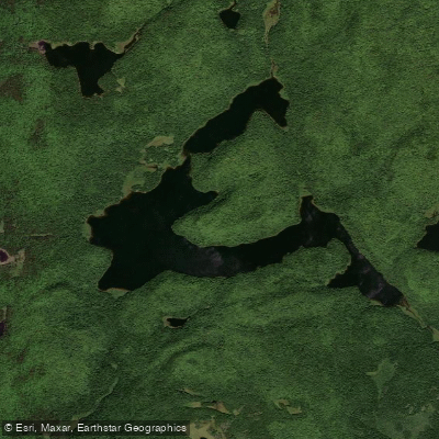
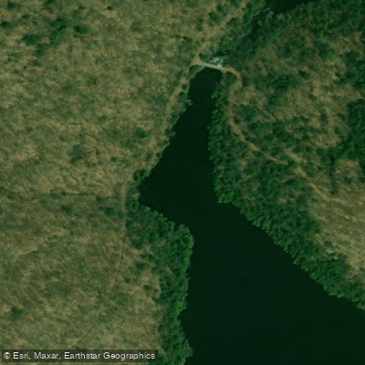
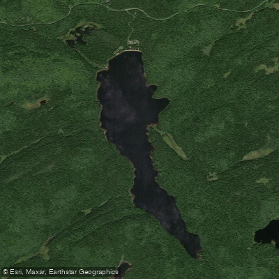
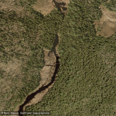
Top waters to paddle near Parc National De La Mauricie
Water and weather conditions (10 day forecast)
See the best times to paddle Parc national de la Mauricie and check the forecast before you go.
No forecast data available.
Paddle smarter with real-time insights
Whether you're en route and conditions shift or you're looking for the best spot based on current flows, we enable you to make informed decisions on the fly.







Paddling near Parc national de la Mauricie
Loading...
Gateway towns
Where to base yourself for paddling in Parc national de la Mauricie.
- ShawiniganQC
Nearest city to the park with lodging, services, and access to the Saint-Jean-des-Piles south entrance.
- Saint-Jean-des-PilesQC
Village at the south entrance of the park, closest community to the main visitor facilities and campgrounds.
- Saint-Mathieu-du-ParcQC
Community at the north entrance of the park, providing access to the Rivière-à-la-Pêche sector.
Explore Parc national de la Mauricie
Top paddling waters
Popular Cities
Loading popular cities...

Smarter Paddling Starts in the App.
Paddleways gives you everything you need to plan smarter, paddle better, and own every trip from first launch to takeout.