Rivière Matawin
Rivière Matawin
- Boat Ramps
- 0
- Access Points
- 0
- Campsites
- 3
The Rivière Matawin is a 161-kilometre river flowing west to east through the administrative regions of Lanaudière and Mauricie in Quebec, Canada. It originates at Matawin Lake (elevation 491 m) in Lac-Matawin, Quebec, and empties into the Saint-Maurice River near Shawinigan, approximately 1 km south of the Matawin-River hamlet, at an elevation of 101 metres. Along its course, the river feeds the Taureau Reservoir, which is surrounded by the Regional Park of Taureau Lake.
The Matawin is noted for offering the longest continuous stretch of class 3 and 4 rapids in Quebec, making it a destination primarily suited to intermediate and experienced paddlers. The river's mix of rapids and swifts also makes it appealing to intermediate kayakers seeking variety. Rafting trips on the river typically run 4 to 5 hours, with the full experience taking up to 6 hours, and pass through wild landscapes along the edge of La Mauricie National Park. Guided rafting is open to children aged 6 and over, and wetsuits are provided depending on water temperature.
Multiple access points along the river allow for trip planning ranging from a few hours to multi-day expeditions. Canot Kayak Québec publishes a free digital map bundle covering the entire river route, marking put-ins, rapids, portages, camping sites, and other points of interest. The river passes through or borders several protected areas, including Réserve faunique Mastigouche, Réserve faunique Rouge-Matawin, ZEC Collin, Zec du Chapeau-de-Paille, and Parc national de la Mauricie.
Camping sites are available along the riverbanks, supporting multi-day paddling expeditions. The Centre d'aventure Mattawin, located at 3911 route 155 in the hamlet of Rivière Matawin, offers rafting, canoeing, kayaking, canyoning, and other activities, along with lodging options including eco-chalets, eco-tents, and primitive campsites. In the upper portion of the river near Saint-Michel-des-Saints, the Jeunes Entrepreneurs de la Haute-Matawinie offer canoe, kayak, and paddleboard rentals with a shuttle service, covering a calm-water descent of approximately 1.5 hours. The river's wild landscapes and the variety of whitewater make it a well-regarded destination for both guided and independent paddling trips.
Water access, boat ramps & amenities
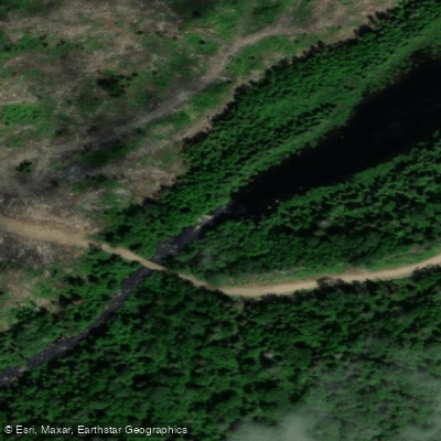
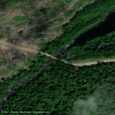
Learn how to get on Rivière Matawin. Uncover great paddling access points, boat ramps, and all the facilities you need for an unforgettable day on the water. Some locations shown may border or include private property. Always check property boundaries and applicable regulations before visiting. PaddleWays's Public & Private Land layer can help you plan your access with confidence.
Paddle smarter with real-time insights
Whether you're en route and conditions shift or you're looking for the best spot based on current flows, we enable you to make informed decisions on the fly.







Qc licenses and regulations
No licenses or regulations available for Qc.
Find Places to Paddle

Over 400,000 Places to Paddle
Every user gets free access to launch points, boat ramps, and public property parcels.


Water and weather conditions (10 day forecast)
See the best times to paddle Rivière Matawin and check the forecast before you go.
MATAWIN (RIVIERE) A SAINT-MICHEL-DES-SAINTS
Paddling near Rivière Matawin
Rivière Saint-Maurice
Fleuve Saint-Laurent

Estuaire fluvial du Saint-Laurent
Rivière Bécancour
Rivière Nicolet
Plage de l'Ile Saint-Quentin
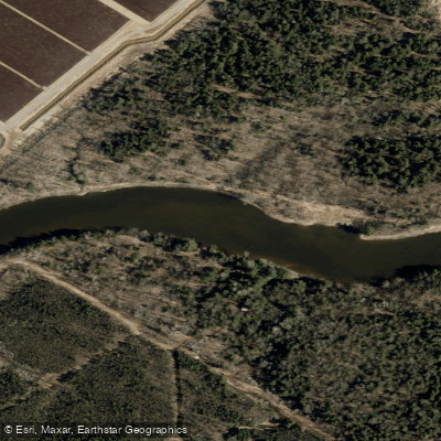
Rivière Nicolet Sud-Ouest
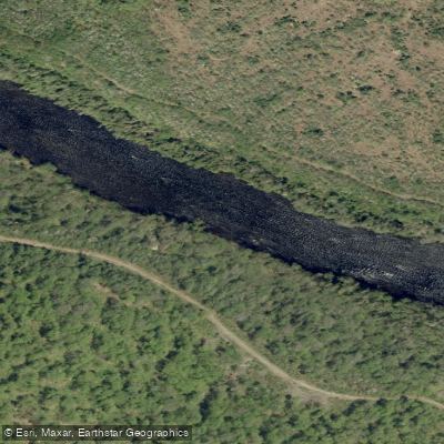
Rivière Batiscan
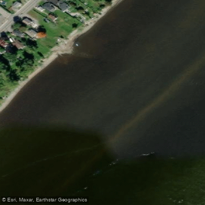
Batture Taureau
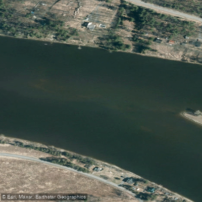
Rivière Saint-François
Explore Qc waters
Top paddling waters
No waters available right now.
Popular Cities
Loading popular cities...
Explore near Rivière Matawin
Access points
Nearby waters
More in Qc

Smarter Paddling Starts in the App.
Paddleways gives you everything you need to plan smarter, paddle better, and own every trip from first launch to takeout.