Lac Wapizagonke
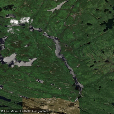
Lac Wapizagonke
- Boat Ramps
- 0
- Access Points
- 1
- Campsites
- 16
Lac Wapizagonke is a long, narrow lake located within La Mauricie National Park in Quebec, roughly halfway between Montreal and Quebec City in the Laurentian foothills, approximately 165 kilometres from each city. The lake's elongated shape gives it a river-like appearance, and its shores feature rocky outcroppings, beautiful beaches, and abundant bird life. The lake is also notable for 5,000-year-old red ochre rock paintings attributed to the Attikamek people, an Algonquin group, making it a site of significant cultural and historical interest.
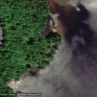
There are two main access points for paddling on the lake: the Wapizagonke Picnic Area and the Shewenegan Picnic Area. Paddlers using the Saint-Gérard entrance are required to register at either the Saint-Mathieu or Saint-Jean-des-Piles park entrance before proceeding to their campsite. Those renting canoes through this entrance must also collect a rental token from the on-site boat and equipment rental at the Shewenegan Picnic Area. A Parks Canada entry fee applies.
The lake serves as a hub for multiple canoe-camping routes ranging from easy to very difficult. A popular day trip departs from the Wapizagonke Picnic Area, involves a short 0.15-kilometre moderate portage, then 4.6 kilometres of paddling followed by a 3-kilometre hike to reach Waber Falls. More demanding multi-day routes connect Wapizagonke to backcountry lakes including Lac du Caribou, Lac de la Halte, Lac Maréchal, Lac Tessier, Waber Lake, and Lac Anticagamac, with portages that can reach 3 kilometres in length and are rated very difficult. Paddlers should note that when launching from the Wapizagonke Picnic Area, boats must keep left to pass under the Parkway. Canoe and kayak rentals, including "row-and-go" canoes for backcountry access without portaging, are available at the Wapizagonke zone.
Canoe-camping sites along the lake provide basic amenities including chemical toilets, tent pads, fire pits, firewood, and food-hanging posts. The lake is suitable for new paddlers and families on calm days, but wind can be a significant hazard, particularly on higher-altitude connected lakes like Lac du Caribou where waves can develop quickly. Paddlers are advised to check weather forecasts before departing and to secure gear in case of capsizing.
Water access, boat ramps & amenities
Learn how to get on Lac Wapizagonke. Uncover great paddling access points, boat ramps, and all the facilities you need for an unforgettable day on the water. Some locations shown may border or include private property. Always check property boundaries and applicable regulations before visiting. PaddleWays's Public & Private Land layer can help you plan your access with confidence.
Paddle smarter with real-time insights
Whether you're en route and conditions shift or you're looking for the best spot based on current flows, we enable you to make informed decisions on the fly.







Qc licenses and regulations
No licenses or regulations available for Qc.
Find Places to Paddle

Over 400,000 Places to Paddle
Every user gets free access to launch points, boat ramps, and public property parcels.


Water and weather conditions (10 day forecast)
See the best times to paddle Lac Wapizagonke and check the forecast before you go.
No forecast data available.
Paddling near Lac Wapizagonke
Rivière Saint-Maurice
Fleuve Saint-Laurent

Estuaire fluvial du Saint-Laurent
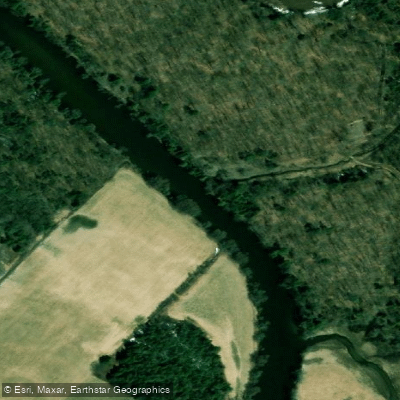
Rivière Bécancour
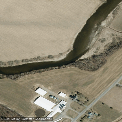
Rivière Nicolet
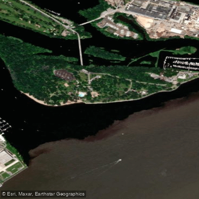
Plage de l'Ile Saint-Quentin
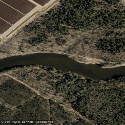
Rivière Nicolet Sud-Ouest
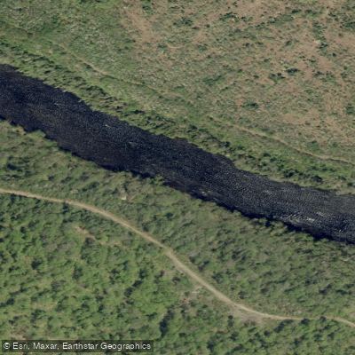
Rivière Batiscan
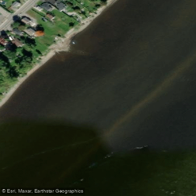
Batture Taureau
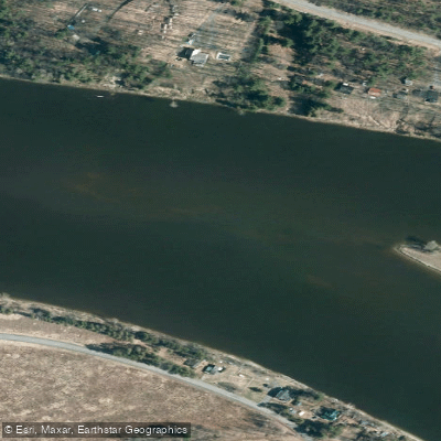
Rivière Saint-François
Explore Qc waters
Top paddling waters
No waters available right now.
Popular Cities
Loading popular cities...
Explore near Lac Wapizagonke
Access points
Nearby waters
More in Qc

Smarter Paddling Starts in the App.
Paddleways gives you everything you need to plan smarter, paddle better, and own every trip from first launch to takeout.