Rivière Saint-Maurice
Rivière Saint-Maurice
- Boat Ramps
- 0
- Access Points
- 0
- Campsites
- 2
The Rivière Saint-Maurice is a major river in the Mauricie region of Quebec, flowing southward and emptying into the St. Lawrence River at Trois-Rivières. The river is large and wide throughout much of its length, offering a variety of paddling experiences from flatwater touring to sections with fast-moving current and rapids.
One well-documented access point is the Secteur Beaurivage area near Grand-Mère, where a boat ramp and parking are available. This section runs from below the Grand-Mère dam downstream to the Rapide des Hêtres. In Shawinigan, paddlers can launch from the boat ramp on Chemin de la Berge in the Shawinigan-Sud sector, with parking available nearby. Parc de l'Île Melville in Shawinigan also serves as a launch point and offers canoe, kayak, stand-up paddleboard, pedalo, rabaska, and rowboat rentals. In Saint-Jean-des-Piles, Marina du Quai sits on the western bank of the river and offers a free launching ramp, with the site located approximately 8 km from La Mauricie National Park.
A significant safety consideration throughout the river is the presence of hydroelectric dams and their associated infrastructure. Near Shawinigan, paddlers must verify that spillway valves are closed before launching. A flashing light indicates open valves, and a siren sounds 30 minutes before valves open, at which point Hydro-Québec requires all users to leave the water. Paddlers are advised to stay near shore to reach it quickly if needed, to avoid motorized boat traffic, and to exercise extra caution when winds exceed 20 km/h. The river's currents can be unpredictable.
A recommended intermediate route near Shawinigan covers approximately 6 km round trip, circling Île Melville, crossing to the dock on Avenue du Capitaine-Veilleux, continuing along the shore to Baie à Giguère, and returning via Île Chapdelaine. This section is known for great blue heron sightings and views of downtown Shawinigan. Further upstream, a multi-day sea kayak trip departing from La Tuque has been documented covering 78 km over three days, with wild camping along the way. The river also hosts one of Canada's oldest canoe races, running from La Tuque to Trois-Rivières on Labour Day weekend, with festivities in Shawinigan and Trois-Rivières. At the river's mouth, the delta area near Trois-Rivières features the Île Saint-Quentin recreational site and marina.
Water access, boat ramps & amenities
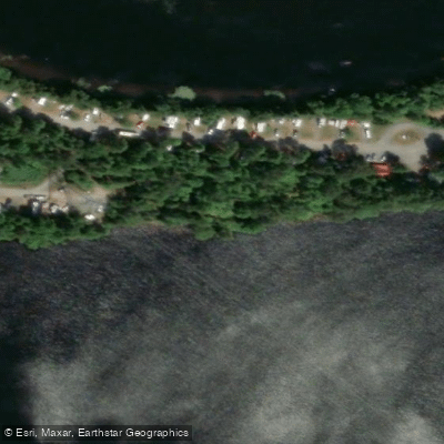
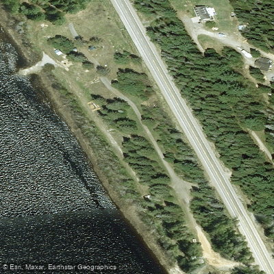
Learn how to get on Rivière Saint-Maurice. Uncover great paddling access points, boat ramps, and all the facilities you need for an unforgettable day on the water. Some locations shown may border or include private property. Always check property boundaries and applicable regulations before visiting. PaddleWays's Public & Private Land layer can help you plan your access with confidence.
Paddle smarter with real-time insights
Whether you're en route and conditions shift or you're looking for the best spot based on current flows, we enable you to make informed decisions on the fly.







Qc licenses and regulations
No licenses or regulations available for Qc.
Find Places to Paddle

Over 400,000 Places to Paddle
Every user gets free access to launch points, boat ramps, and public property parcels.


Water and weather conditions (10 day forecast)
See the best times to paddle Rivière Saint-Maurice and check the forecast before you go.
No forecast data available.
Paddling near Rivière Saint-Maurice
Fleuve Saint-Laurent

Estuaire fluvial du Saint-Laurent
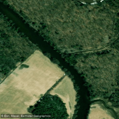
Rivière Bécancour
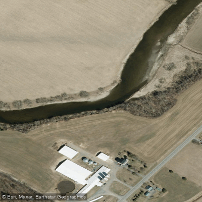
Rivière Nicolet
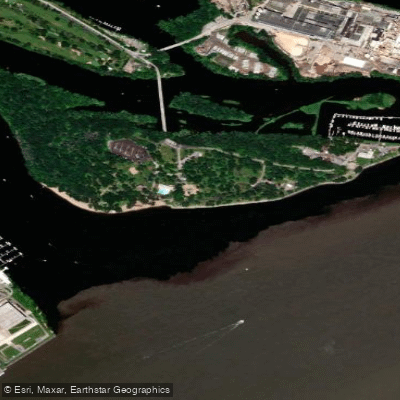
Plage de l'Ile Saint-Quentin
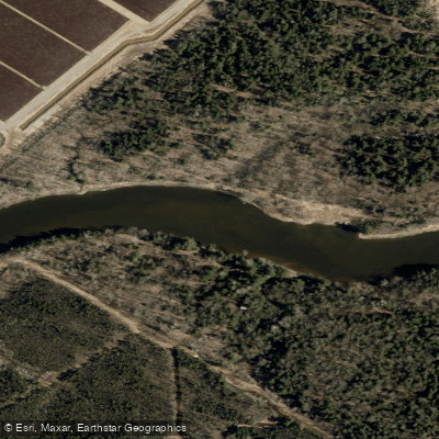
Rivière Nicolet Sud-Ouest
Rivière Batiscan
Batture Taureau
Rivière Saint-François
Explore Qc waters
Top paddling waters
No waters available right now.
Popular Cities
Loading popular cities...
Explore near Rivière Saint-Maurice
Access points
Nearby waters
More in Qc

Smarter Paddling Starts in the App.
Paddleways gives you everything you need to plan smarter, paddle better, and own every trip from first launch to takeout.