Paddling in Pukaskwa National Park
- National Park
- Lakes
- 40
- Rivers
- 21
- Access
- 0
- Boat Ramps
- 1
- Shops
- 0
Pukaskwa sits on the northeastern shore of Lake Superior in Ontario, and the water that defines it is the lake itself.
Superior here is roadless, undeveloped, and unforgiving — a freshwater coast that behaves like an open ocean, with swells, fog, and exposed headlands that demand the same respect.
The park's 135-kilometre Coastal Paddling Route is the reason most paddlers come. The route runs from Hattie Cove in the north to the Pukaskwa River mouth in the south.
Hattie Cove is the hub: visitor centre, canoe launch, and the only place in the park where rental canoes and kayaks are available (June through September, restricted to the cove itself). Beyond the cove, the coast opens immediately into exposed water.
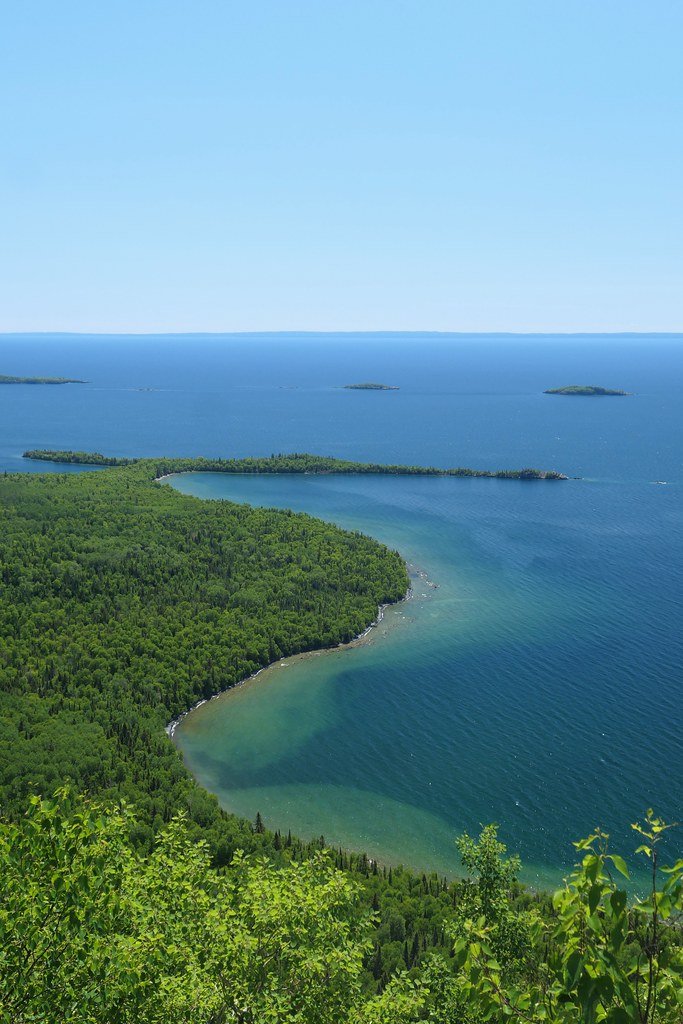
The first 15 kilometres south offer little shelter before Morrison Harbour breaks the exposure with a screen of granite islands.
From there, the route continues past river mouths — the White River is a reliable landmark in fog and a major drainage — through sand and cobble beaches, bold headlands, and backcountry campsites spaced along the shore. This is a sea kayak route.
Conditions can change fast, fog is common, and reflection waves off sheer shoreline can make even moderate swells unpredictable.
Parks Canada is direct: paddling on Lake Superior is recommended for experienced paddlers only, and the technical knowledge required is real, not boilerplate. The park manages overnight access carefully.
The number of parties permitted into the backcountry is limited to reduce impact along the coast.
A mandatory backcountry orientation is required before any overnight trip, and paddlers entering from the south or north access points by water need to call the park ahead of time to arrange their permit.
Miss your declared sign-out date by 24 hours and the park initiates a search — a policy that reflects what this coast actually is. The Pukaskwa River marks the park's southern boundary on the water.
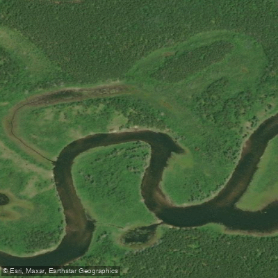
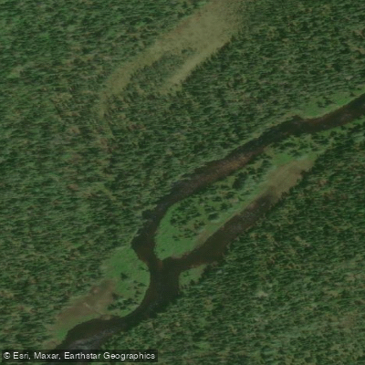
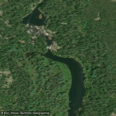
Dozens of rivers and streams feed the coast along the way, including the Swallow, North Swallow, Bremner, and Lurch — most encountered as mouths and campsites rather than paddling destinations in themselves.
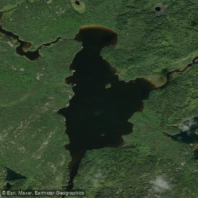
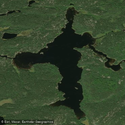
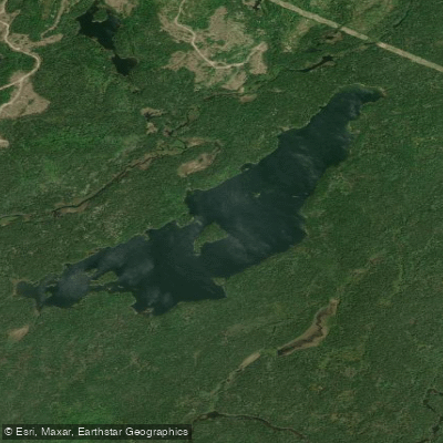
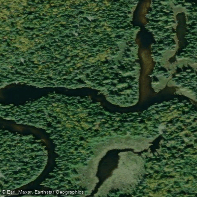
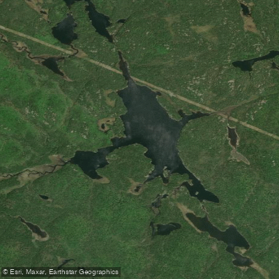
The interior lakes, including Birch Lake and Lurch Lake, are part of the backcountry.
What stays with people who paddle this coast isn't any single feature — it's the cumulative weight of ten days without a road, without another party, with only shore sounds and a compass bearing to confirm where you are.
Top waters to paddle near Pukaskwa National Park
Water and weather conditions (10 day forecast)
See the best times to paddle Pukaskwa National Park and check the forecast before you go.
No forecast data available.
Paddle smarter with real-time insights
Whether you're en route and conditions shift or you're looking for the best spot based on current flows, we enable you to make informed decisions on the fly.







Paddling near Pukaskwa National Park
Loading...
Gateway towns
Where to base yourself for paddling in Pukaskwa National Park.
- MarathonON
The gateway town for Pukaskwa, with lodging, services, and the Highway 627 turnoff leading directly to the park entrance.
- WawaON
Southern access point along the Trans-Canada for visitors approaching Pukaskwa from the east, with lodging and outfitter services nearby.
Explore Pukaskwa National Park
Top paddling waters
Popular Cities
Loading popular cities...

Smarter Paddling Starts in the App.
Paddleways gives you everything you need to plan smarter, paddle better, and own every trip from first launch to takeout.