Pukaskwa River
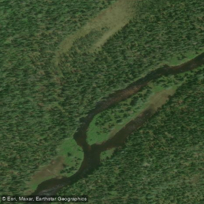
Pukaskwa River
- Boat Ramps
- 0
- Access Points
- 0
- Campsites
- 1
The Pukaskwa River cuts through some of Ontario's most remote wilderness, flowing to its mouth on Lake Superior within Pukaskwa National Park. The river route covers approximately 65 km and is rated as advanced skill level, typically requiring 5 to 7 days to complete. It features class I–IV rapids, scenic waterfalls, and rugged portages, with the standout feature being Ringham's Gorge, a 3-km-long whitewater canyon.
Access to the river is via Paint Lake Road, off Highway 17 north of Wawa, and the Domtar 600 Road. The drive from Wawa to the put-in takes approximately two hours. The upper reaches of the river are creek-like in character, frequently obstructed by dangerous sweepers, with portages that are rugged and difficult to locate. Open canoeists should expect a demanding day and a half of portaging and paddling before reaching the hydro lines, after which the river widens and water volume increases. Spring is the recommended season, as the river is known in Anishinaabe as "Bii-skikaag saateg ziibi," meaning "curvy run dry river," reflecting its tendency to become unnavigable later in the season.
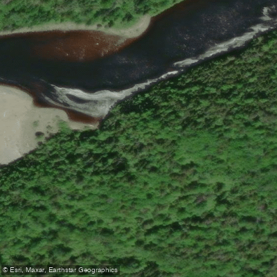
The mouth of the Pukaskwa River sits at the southern boundary of Pukaskwa National Park, roughly 90 km from the nearest road, making it one of the more isolated destinations in Ontario. A short hike up the last portage on the river route leads to Schist Falls. The river's mouth also serves as a waypoint on the Coastal Paddling Route along Lake Superior, which runs approximately 160 km and is part of the Trans-Canada Trail. Paddlers combining the river route with the coastal route should be aware that Lake Superior presents its own serious hazards, including stretches of up to 10 km of coastline with limited landing options, frequent fog particularly in June and early July, and water temperatures that rarely exceed 15°C even in midsummer.
For interior paddling within Pukaskwa National Park, Parks Canada can be contacted at 807-229-0801 or pukaskwaont@pc.gc.ca for current information. The park also offers boat shuttle services for paddlers. Wildlife in the broader Pukaskwa region includes moose, woodland caribou, bald eagles, and peregrine falcons, which nest on steep cliffs along the coastline.
Water access, boat ramps & amenities
Learn how to get on Pukaskwa River. Uncover great paddling access points, boat ramps, and all the facilities you need for an unforgettable day on the water. Some locations shown may border or include private property. Always check property boundaries and applicable regulations before visiting. PaddleWays's Public & Private Land layer can help you plan your access with confidence.
Paddle smarter with real-time insights
Whether you're en route and conditions shift or you're looking for the best spot based on current flows, we enable you to make informed decisions on the fly.








Find Places to Paddle

Over 400,000 Places to Paddle
Every user gets free access to launch points, boat ramps, and public property parcels.


Water and weather conditions (10 day forecast)
See the best times to paddle Pukaskwa River and check the forecast before you go.
PUKASKWA RIVER BELOW FOX RIVER
Paddling near Pukaskwa River
Explore On waters
Top paddling waters
No waters available right now.
Popular Cities
Loading popular cities...
Explore near Pukaskwa River

Smarter Paddling Starts in the App.
Paddleways gives you everything you need to plan smarter, paddle better, and own every trip from first launch to takeout.