Lurch River
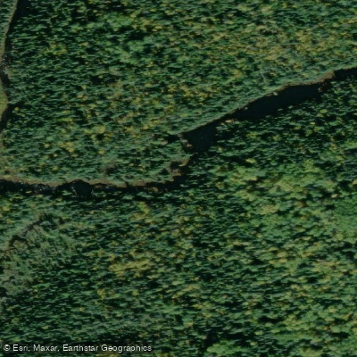
Lurch River
- Boat Ramps
- 0
- Access Points
- 0
- Campsites
- 0
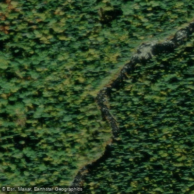
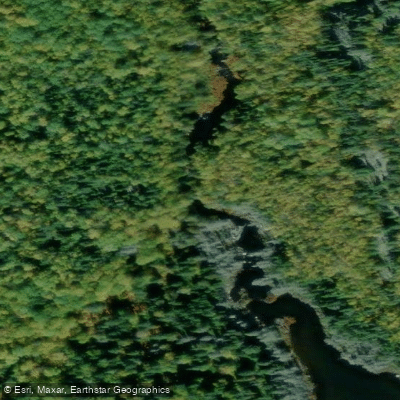
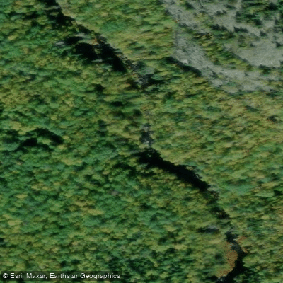
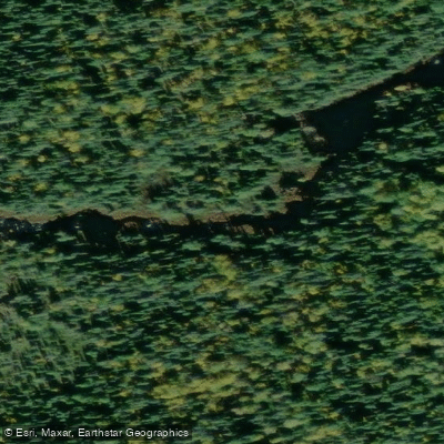
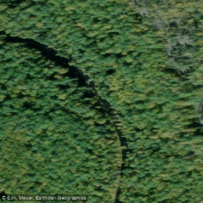
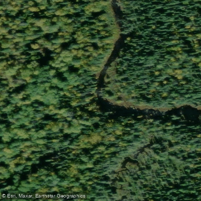
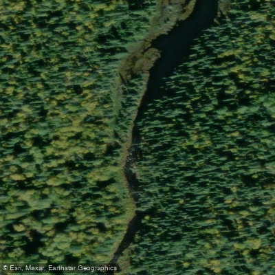
The Lurch River is a remote waterway located within or adjacent to Pukaskwa National Park in northern Ontario, flowing into the Oskabukuta River. It is a tributary route that leads south to Lurch Lake and, beyond that, to Birch and Lower Birch Lakes in the park's interior. The river is accessible from the Oskabukuta River, which itself can be reached via forestry roads south and west of the town of White River. From the Oskabukuta, paddlers turn upstream onto the Lurch River and travel approximately a day's paddle to reach the exit falls from Lurch Lake.
The Lurch River features several rapids and at least one significant waterfall — the falls at the outlet of Lurch Lake, which have been described as very impressive. These features should be treated as serious hazards requiring careful scouting. The upstream travel means paddlers are working against the current, and the route has been characterized as demanding, with one account describing the approach from a logging road as looking "pretty impassable" and more of a portage and trail-clearing exercise than a straightforward canoe trip.
Paddling within Pukaskwa National Park requires entry payment and a backcountry permit. There are no established campsites in the Birch and Lurch Lakes interior area, so paddlers must practice low-impact camping. Fly-in access to the park's interior is not permitted. The route is linear, requiring paddlers to return the same way they came in.
Access to the Oskabukuta River put-in is via forestry roads from White River, and historically this area has seen active logging operations, meaning road conditions and truck traffic can be factors when driving to the trailhead. The east side of both the Oskabukuta and Lurch Rivers has been subject to logging activity, which may affect the surrounding landscape. This is a genuinely remote and seldom-traveled route; reports of paddlers completing the full trip to Lurch Lake and beyond are rare, and prospective visitors should contact Pukaskwa National Park directly for current access and permit information before planning a trip.
Water access, boat ramps & amenities
Learn how to get on Lurch River. Uncover great paddling access points, boat ramps, and all the facilities you need for an unforgettable day on the water. Some locations shown may border or include private property. Always check property boundaries and applicable regulations before visiting. PaddleWays's Public & Private Land layer can help you plan your access with confidence.
Paddle smarter with real-time insights
Whether you're en route and conditions shift or you're looking for the best spot based on current flows, we enable you to make informed decisions on the fly.








Find Places to Paddle

Over 400,000 Places to Paddle
Every user gets free access to launch points, boat ramps, and public property parcels.


Water and weather conditions (10 day forecast)
See the best times to paddle Lurch River and check the forecast before you go.
No forecast data available.
Paddling near Lurch River
Explore On waters
Top paddling waters
No waters available right now.
Popular Cities
Loading popular cities...
Explore near Lurch River

Smarter Paddling Starts in the App.
Paddleways gives you everything you need to plan smarter, paddle better, and own every trip from first launch to takeout.