Bremner River
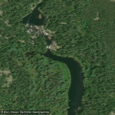
Bremner River
- Boat Ramps
- 0
- Access Points
- 0
- Campsites
- 0
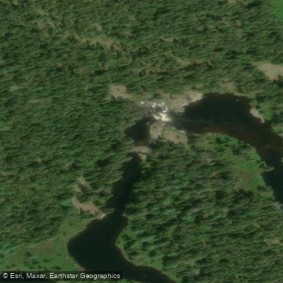
The Bremner River is a tributary of the White River in the Wawa District of Ontario's Lake Superior basin, generally described as one of the most scenic rivers in the region. The river is wide and slow-moving along much of its length, though the descent from McCrea Lake to the White River junction involves significant elevation loss, concentrated in a series of steep rapids and falls that create dramatic scenery and serve as natural stopping points.
The primary paddled route runs approximately 57 kilometres from McCrea Lake downstream to the confluence with the White River near Highway 17, typically completed in four days. The route is classified as intermediate wilderness paddling and requires 25 portages over the full distance. Portage lengths range from short 20-metre liftovers to carries exceeding 600 metres, with the longest reaching 660 metres on river left. The lower section of the river, where the valley narrows and gradient steepens, demands 15 of those portages, with several exceeding 400 metres. The terrain in this northern stretch includes exposed rock faces and dense forest along the banks.
Access to the upper route is typically by floatplane into either McCrea Lake or Pinei Lake. The McCrea Lake entry involves 10 portages along McCrea Creek before reaching the Bremner River proper, while the Pinei Lake approach offers easier, more enjoyable paddling to the McCrea Creek junction. At the take-out end, the Bremner does not reach Highway 17 directly; paddlers must travel a short distance upstream on the White River to reach the Highway 17 bridge, or continue downstream to the southern shore of White Lake where road access connects back to the highway. A pre-arranged vehicle shuttle or pickup is essential and should be confirmed before flying in. Relevant NTS topographic map sheets are 42 C/11 (White River) and the adjoining Pukaskwa River sheet.
The stretch just below the McCrea Creek confluence meanders through a marshy area with active beaver habitat, and moose and waterfowl are frequently observed here. The river then passes through sections interspersed with rapids over the following kilometres, with established portages and campsites at several locations. Water levels can become low by mid-July, and paddling is generally recommended for late May through early June when flows are more reliable.
Water access, boat ramps & amenities
Learn how to get on Bremner River. Uncover great paddling access points, boat ramps, and all the facilities you need for an unforgettable day on the water. Some locations shown may border or include private property. Always check property boundaries and applicable regulations before visiting. PaddleWays's Public & Private Land layer can help you plan your access with confidence.
Paddle smarter with real-time insights
Whether you're en route and conditions shift or you're looking for the best spot based on current flows, we enable you to make informed decisions on the fly.








Find Places to Paddle

Over 400,000 Places to Paddle
Every user gets free access to launch points, boat ramps, and public property parcels.


Water and weather conditions (10 day forecast)
See the best times to paddle Bremner River and check the forecast before you go.
No forecast data available.
Paddling near Bremner River
Explore On waters
Top paddling waters
No waters available right now.
Popular Cities
Loading popular cities...
Explore near Bremner River

Smarter Paddling Starts in the App.
Paddleways gives you everything you need to plan smarter, paddle better, and own every trip from first launch to takeout.