Dunk River Estuary
- Saltwater
- Estuary
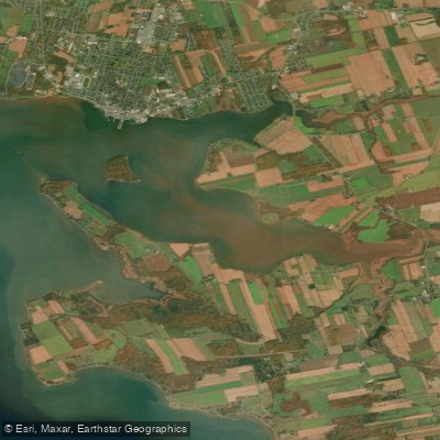
Dunk River Estuary
- Saltwater
- Estuary
- Sq. miles
- 3.9
- Boat Ramps
- 0
- Access Points
- 0
- Campsites
- 0
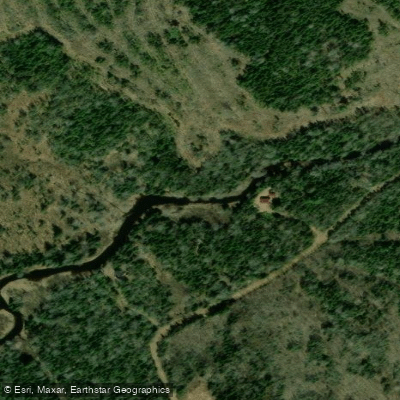
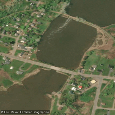
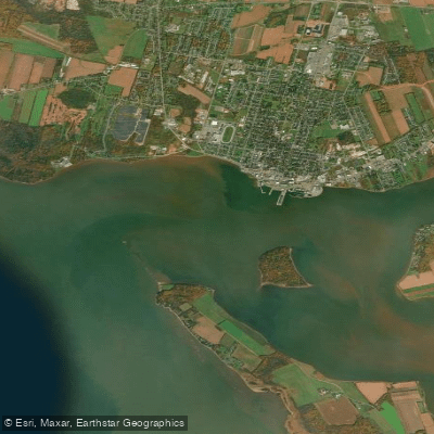
The Dunk River Estuary is a coastal saltwater feature located near North Bedeque and Darnley on Prince Edward Island, flowing into Bedeque Bay. This estuary is characterized by quiet channels and expansive salt marshes, offering a paddling environment focused on wildlife viewing and scenic marsh ecology. The area is recognized as an Important Bird Area, with mudflats that attract feeding shorebirds, herons, egrets, and various waterfowl, making it a destination for birders. Paddlers can expect to see terns, including Common Terns, and may encounter seals on nearby sandbars, particularly on a rising tide. The overall aesthetic is one of a low-lying, sheltered coastal wetland.
For trip planning, a primary consideration is that this is a tidal estuary. Paddlers should plan their route and timing around the tide cycle, aiming to paddle with a rising tide for easier access into the channels and to observe wildlife on the mudflats. Calm conditions are recommended for safety and optimal wildlife viewing, as the open exposure to Bedeque Bay can create wind and wave action. Access is available from shore, and the area is used for guided kayak eco-tours which provide a safe, interpretive way to explore the quiet waters. There are no indicated restrictions on paddling, but water quality data has been collected from the estuary at the Highway 110 bridge, suggesting ongoing environmental monitoring. The experience is best suited for those seeking a tranquil paddle with a focus on natural history rather than challenging currents or long-distance travel.
Water access, boat ramps & amenities
Learn how to get on Dunk River Estuary. Uncover great paddling access points, boat ramps, and all the facilities you need for an unforgettable day on the water. Some locations shown may border or include private property. Always check property boundaries and applicable regulations before visiting. PaddleWays's Public & Private Land layer can help you plan your access with confidence.
Paddle smarter with real-time insights
Whether you're en route and conditions shift or you're looking for the best spot based on current flows, we enable you to make informed decisions on the fly.







Pe licenses and regulations
No licenses or regulations available for Pe.
Find Places to Paddle

Over 400,000 Places to Paddle
Every user gets free access to launch points, boat ramps, and public property parcels.


Tides, wind & water conditions (10 day forecast)
On open water, wind and tide matter as much as the weather. See the best times to paddle Dunk River Estuary and check the marine forecast before you launch.
Loading tide predictions…
Paddling near Dunk River Estuary
Explore Pe waters
Top paddling waters
No waters available right now.
Popular Cities
Loading popular cities...
Explore near Dunk River Estuary

Smarter Paddling Starts in the App.
Paddleways gives you everything you need to plan smarter, paddle better, and own every trip from first launch to takeout.