Scoudouc River
Scoudouc River
- Boat Ramps
- 0
- Access Points
- 0
- Campsites
- 0
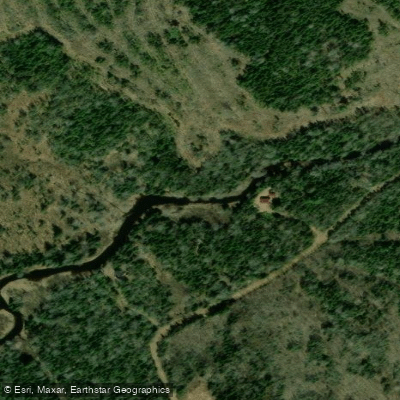
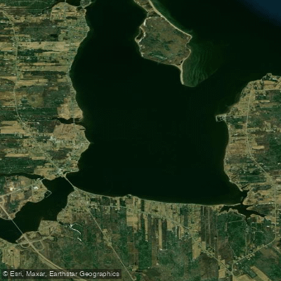
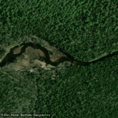
The Scoudouc River is a tidal river in southeastern New Brunswick that flows into Shediac Bay near the town of Shediac. The river is sandy and fairly shallow in places, with a marked boat channel for small motorboats. Moving upstream from the mouth, the banks are initially lined with houses that gradually thin out to occasional cottages. About 3 to 4 kilometres upstream, the river narrows and becomes rocky, which effectively marks the practical limit of upstream paddling. The river drains into Shediac Bay, which opens to the Gulf of St. Lawrence.
Because the Scoudouc is tidal, water levels fluctuate significantly with the tides. At low tide, navigable distance is severely limited, so consulting a tide table before any outing is essential. At higher tide, paddlers can travel upstream along the river or paddle out under the bridge at Shediac to access Shediac Bay and open salt water. The river is popular for fishing, with striped bass, brook trout, and Atlantic mackerel among the commonly caught species.
The primary access point is off Riverside Drive in Shediac, where there is a small unpaved ramp and a short sandy beach. The ground near the launch is somewhat soft and is not suitable for large boats or heavy trailers, but works well for canoes and kayaks. The carry from the road to the water is approximately 40 feet. There is no roadside parking at this location, but a public park on Rue Avard across the street provides street parking at no charge. No fees are required to use the launch. In autumn, the river banks offer notable fall foliage colour along the tree-lined stretches upstream.
Historically, the area around the mouth of the Scoudouc River has been significant as a Mi'kmaq encampment site and later as a centre for shipbuilding and early rail transport in the Maritimes, giving the surrounding area considerable cultural depth for those interested in the region's history.
Water access, boat ramps & amenities
Learn how to get on Scoudouc River. Uncover great paddling access points, boat ramps, and all the facilities you need for an unforgettable day on the water. Some locations shown may border or include private property. Always check property boundaries and applicable regulations before visiting. PaddleWays's Public & Private Land layer can help you plan your access with confidence.
Paddle smarter with real-time insights
Whether you're en route and conditions shift or you're looking for the best spot based on current flows, we enable you to make informed decisions on the fly.







Nb licenses and regulations
No licenses or regulations available for Nb.
Find Places to Paddle

Over 400,000 Places to Paddle
Every user gets free access to launch points, boat ramps, and public property parcels.


Water and weather conditions (10 day forecast)
See the best times to paddle Scoudouc River and check the forecast before you go.
No forecast data available.
Paddling near Scoudouc River
Explore Nb waters
Top paddling waters
No waters available right now.
Popular Cities
Loading popular cities...
Explore near Scoudouc River

Smarter Paddling Starts in the App.
Paddleways gives you everything you need to plan smarter, paddle better, and own every trip from first launch to takeout.