Malpeque Bay
- Saltwater
- Bay
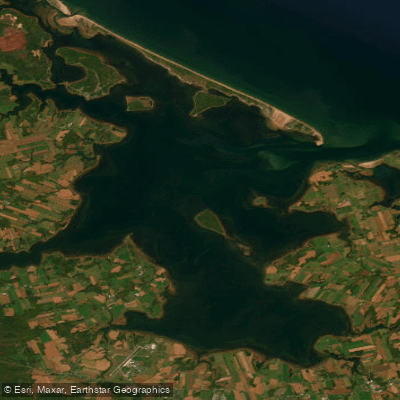
Malpeque Bay
- Saltwater
- Bay
- Sq. miles
- 50
- Boat Ramps
- 0
- Access Points
- 0
- Campsites
- 0
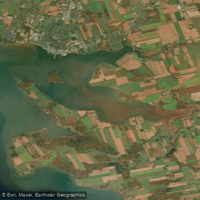
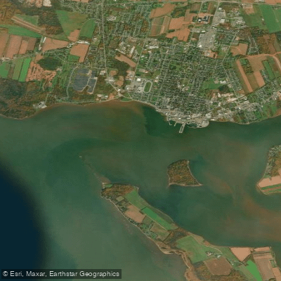
Malpeque Bay is a large coastal lagoon system on the north shore of Prince Edward Island, protected from the Gulf of Saint Lawrence by a 25-kilometre sandspit and dune formation. This creates a unique environment with wide-open, generally calmer waters compared to the open gulf, though paddlers should be aware it is less sheltered than inland rivers or harbors. The bay is a Wetland of International Importance, providing vital habitat for diverse wildlife including the threatened Piping Plover and serving as a key stopover for migratory birds; ospreys and herons are commonly seen. A primary and well-established access point for paddlers is at Cabot Beach Provincial Park, where Malpeque Bay Kayak Tours operates from the Fish Island Lighthouse area, offering rentals and guided tours. This location provides direct access to Darnley Basin, Malpeque Bay, and the Gulf of Saint Lawrence. Paddlers must exercise significant caution regarding marine traffic, especially in summer, and are advised to stick close to the shoreline when boat traffic is heavy. A major navigational consideration is crossing the Ship Channel at the mouth of the bay, which connects to the Gulf of Saint Lawrence. For the calmest conditions and best views, early morning or sunset paddles are recommended. The area's economy is famously based on sustainable oyster, lobster, and mussel harvesting, and working wharves are part of the local scenery. After paddling, amenities include the park's facilities, as well as nearby dining options like the Oyster Barn or Ship to Shore restaurant.
Water access, boat ramps & amenities
Learn how to get on Malpeque Bay. Uncover great paddling access points, boat ramps, and all the facilities you need for an unforgettable day on the water. Some locations shown may border or include private property. Always check property boundaries and applicable regulations before visiting. PaddleWays's Public & Private Land layer can help you plan your access with confidence.
Paddle smarter with real-time insights
Whether you're en route and conditions shift or you're looking for the best spot based on current flows, we enable you to make informed decisions on the fly.







Pe licenses and regulations
No licenses or regulations available for Pe.
Find Places to Paddle

Over 400,000 Places to Paddle
Every user gets free access to launch points, boat ramps, and public property parcels.


Tides, wind & water conditions (10 day forecast)
On open water, wind and tide matter as much as the weather. See the best times to paddle Malpeque Bay and check the marine forecast before you launch.
Loading tide predictions…
Paddling near Malpeque Bay
Explore Pe waters
Top paddling waters
No waters available right now.
Popular Cities
Loading popular cities...
Explore near Malpeque Bay

Smarter Paddling Starts in the App.
Paddleways gives you everything you need to plan smarter, paddle better, and own every trip from first launch to takeout.