Lac Opataca
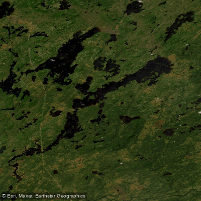
Lac Opataca
- Boat Ramps
- 0
- Access Points
- 0
- Campsites
- 0
Lac Opataca is located in Quebec, Canada, and is accessible primarily via two route options. The recommended approach is the south access, traveling via Route 167 South, Route 113 South, and Route 32 North through Oujé-Bougoumou (Barette-Chapais). From the Rupert Welcoming Office, this route covers 127 km total — 77 km paved and 50 km on gravel roads. From Chibougamau, the total distance is 189 km, with 18 km paved and 171 km on gravel roads. An alternative northern approach via the North Road and Route 32 South involves at least five hours of driving on gravel surface and is generally not recommended for Opataca-bound visitors.
Road conditions to the lake are notably poor and require a minimum ground clearance of 7 inches on your vehicle. Branches regularly brush against vehicles over a stretch of approximately 20 km, and drivers may encounter logging trucks or fast-moving vehicles on the gravel sections. A 4x4 vehicle is required for the final water access point, which involves steep ground and requires physically pushing the boat to the water.
The lake operates under a managed access system administered through the Rupert Welcoming Office. A Right of Access Pass is required and must be obtained separately from any reservation confirmation — passes can be sent by fax or email upon request. Daily visitor limits are in place, with a cap of 36 people per day at the south access rustic camping area. Camping is permitted in the grip of the road on an undeveloped, rustic basis, and no services are available on site.
Lac Opataca is noted as an exceptional walleye fishing destination, which is relevant context for paddlers sharing the water with anglers. The surrounding terrain and access infrastructure suggest a remote, undeveloped character with minimal amenities. Given the absence of services and the challenging road access, paddlers should plan to be fully self-sufficient. Advance coordination with the Rupert Welcoming Office is essential to secure the required access pass before arrival.
Water access, boat ramps & amenities
Learn how to get on Lac Opataca. Uncover great paddling access points, boat ramps, and all the facilities you need for an unforgettable day on the water. Some locations shown may border or include private property. Always check property boundaries and applicable regulations before visiting. PaddleWays's Public & Private Land layer can help you plan your access with confidence.
Paddle smarter with real-time insights
Whether you're en route and conditions shift or you're looking for the best spot based on current flows, we enable you to make informed decisions on the fly.







Qc licenses and regulations
No licenses or regulations available for Qc.
Find Places to Paddle

Over 400,000 Places to Paddle
Every user gets free access to launch points, boat ramps, and public property parcels.


Water and weather conditions (10 day forecast)
See the best times to paddle Lac Opataca and check the forecast before you go.
No forecast data available.
Paddling near Lac Opataca
Rivière Saguenay
Lac Kénogami
Plage de la zone portuaire de Chicoutimi
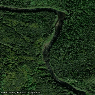
Rivière Pikauba
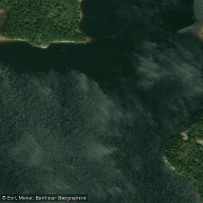
Rivière Shipshaw
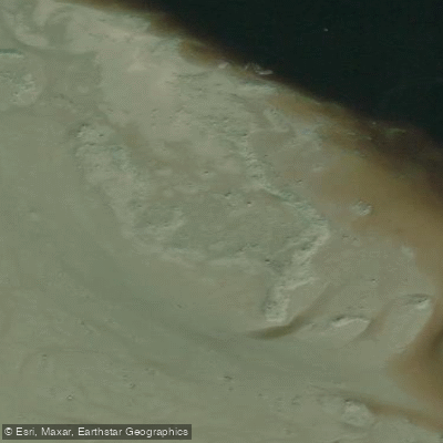
Battures aux Loups Marins
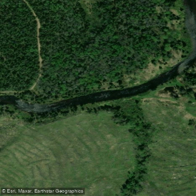
Rivière à Mars
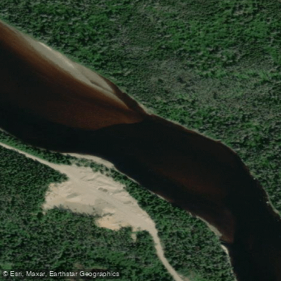
Rivière Mistassini
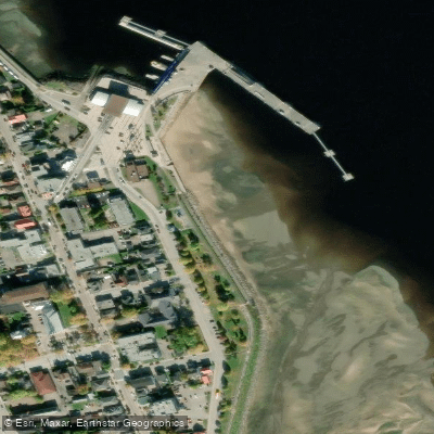
plage de La Baie
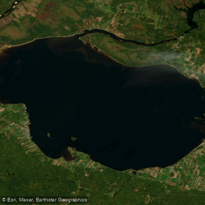
Lac Saint-Jean
Explore Qc waters
Top paddling waters
No waters available right now.
Popular Cities
Loading popular cities...

Smarter Paddling Starts in the App.
Paddleways gives you everything you need to plan smarter, paddle better, and own every trip from first launch to takeout.