Lac Otis
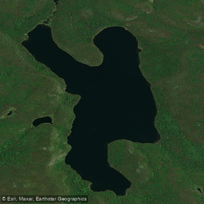
Lac Otis
- Boat Ramps
- 0
- Access Points
- 0
- Campsites
- 0
Lac Otis is a natural lake located in the municipality of Saint-Félix-d'Otis, within the Le Fjord-du-Saguenay Regional County Municipality of the Saguenay–Lac-Saint-Jean administrative region of Quebec, Canada. The lake sits at a surface elevation of 213 metres (699 feet) and has a maximum length of 6.2 kilometres (3.9 miles) and a maximum width of 3.3 kilometres (2.1 miles), making it a sizeable body of water well suited to a full day of paddling. Its coordinates are approximately 48°18′N, 70°38′W.
The lake drains southward into the Saguenay River via the ruisseau aux Cailles. Its primary inflows include the outlet of Lac Valérie, ruisseau Nazaire, the outlet of Lac Simard, the outlet of Lac Goth, and the outlet of Lac de la Souris, giving paddlers who wish to explore connecting waterways several options for extending a trip.
The Camping Municipal Saint-Félix-d'Otis sits on the shore of Lac Otis and serves as a practical base for paddlers, offering access to the lake along with facilities associated with a municipal campground. Canoeing and kayaking are among the activities explicitly supported at this location, and a public beach is available on site. The surrounding territory encompasses 189 lakes, and the area is noted for its proximity to the Saguenay Fjord, which adds a dramatic regional backdrop to any visit.
The broader Saint-Félix-d'Otis area also offers cultural interest through the Site de la Nouvelle-France, an open-air museum featuring 17th-century historical recreations, which may appeal to paddlers looking to combine a water trip with a land-based excursion. The Zec Lac-Brébeuf, a managed wildlife zone, is accessible from the area and is relevant for those interested in fishing or multi-day wilderness travel in the surrounding lake country.
Water access, boat ramps & amenities
Learn how to get on Lac Otis. Uncover great paddling access points, boat ramps, and all the facilities you need for an unforgettable day on the water. Some locations shown may border or include private property. Always check property boundaries and applicable regulations before visiting. PaddleWays's Public & Private Land layer can help you plan your access with confidence.
Paddle smarter with real-time insights
Whether you're en route and conditions shift or you're looking for the best spot based on current flows, we enable you to make informed decisions on the fly.







Qc licenses and regulations
No licenses or regulations available for Qc.
Find Places to Paddle

Over 400,000 Places to Paddle
Every user gets free access to launch points, boat ramps, and public property parcels.


Water and weather conditions (10 day forecast)
See the best times to paddle Lac Otis and check the forecast before you go.
No forecast data available.
Paddling near Lac Otis
Rivière Saguenay
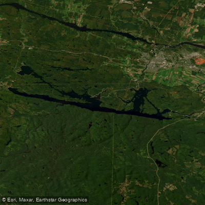
Lac Kénogami
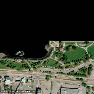
Plage de la zone portuaire de Chicoutimi
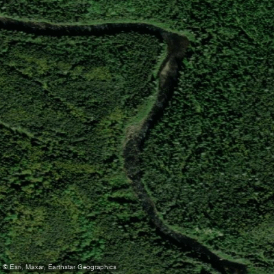
Rivière Pikauba
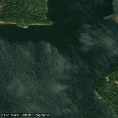
Rivière Shipshaw
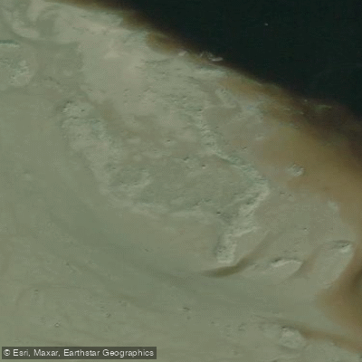
Battures aux Loups Marins
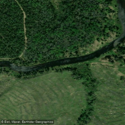
Rivière à Mars
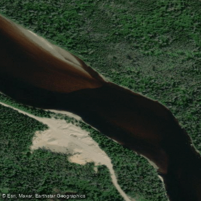
Rivière Mistassini
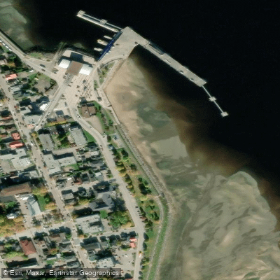
plage de La Baie
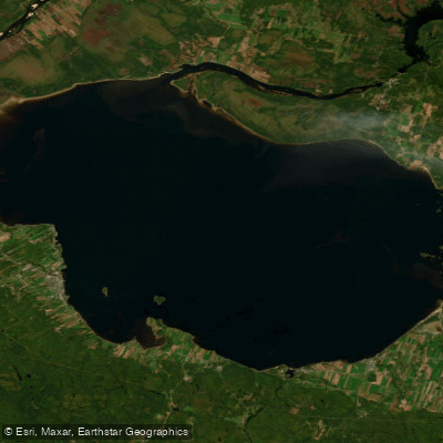
Lac Saint-Jean
Explore Qc waters
Top paddling waters
No waters available right now.
Popular Cities
Loading popular cities...

Smarter Paddling Starts in the App.
Paddleways gives you everything you need to plan smarter, paddle better, and own every trip from first launch to takeout.