Lac Waposite
Lac Waposite
- Boat Ramps
- 0
- Access Points
- 0
- Campsites
- 0
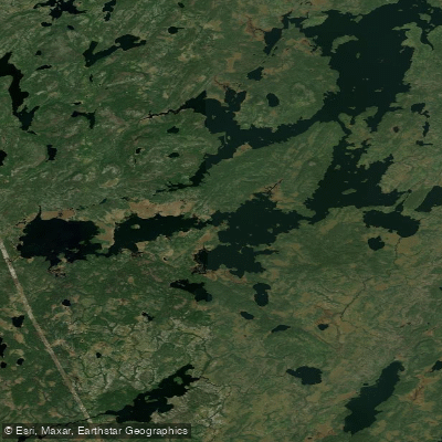
Lac Waposite is a freshwater lake covering 24.5 km² in the Nord-du-Québec region of Quebec, Canada, situated at approximately 50°15′N, 75°19′W within the Eeyou Istchee James Bay Regional Government area. Its name derives from the Cree language, meaning "barren landscape with many rocks," which reflects the character of the surrounding terrain. The lake features an irregular shape with alternating widenings and narrows, a form attributed to glacial processes, making for a varied paddling environment across its considerable surface area.
The lake lies within the proposed Parc national Assinica and the Assinica Wildlife Sanctuary, situated in the Rupert Plateau natural region. The surrounding landscape is dominated by boreal forest of black spruce and jack pine, interspersed with peatlands and rocky knolls rising 50–100 m above the surrounding terrain. The area is noted as fire-prone. Lac Waposite drains northward into the Broadback River watershed through connections to lakes including Comencho and Assinica.
Access to Lac Waposite is significantly limited by its remote location. There is no direct road connection to the lake; the nearest forest road is approximately 35.6 km to the southeast, skirting Mount Opémisca and connecting to Quebec Route 113 and the Canadian National Railway line near Chapais. The lake lies roughly 66.6 km northwest of Chibougamau and 58.5 km northwest of Chapais. This degree of remoteness means that any paddling trip to Lac Waposite requires serious logistical planning, likely involving fly-in access or an extended overland approach. Paddlers should be prepared for full self-sufficiency given the absence of nearby infrastructure or amenities.
The toponym Lac Waposite was officially recognized by the Commission de toponymie du Québec on December 5, 1968. The lake sits north of the 50th parallel in a region with a subarctic climate, which has direct implications for trip timing; the paddling season is relatively short, constrained by ice cover during the long winter months. Paddlers considering a trip here should account for the wilderness character of the Assinica Wildlife Sanctuary context and any regulations that may apply within that protected area designation.
Water access, boat ramps & amenities
Learn how to get on Lac Waposite. Uncover great paddling access points, boat ramps, and all the facilities you need for an unforgettable day on the water. Some locations shown may border or include private property. Always check property boundaries and applicable regulations before visiting. PaddleWays's Public & Private Land layer can help you plan your access with confidence.
Paddle smarter with real-time insights
Whether you're en route and conditions shift or you're looking for the best spot based on current flows, we enable you to make informed decisions on the fly.







Qc licenses and regulations
No licenses or regulations available for Qc.
Find Places to Paddle

Over 400,000 Places to Paddle
Every user gets free access to launch points, boat ramps, and public property parcels.


Water and weather conditions (10 day forecast)
See the best times to paddle Lac Waposite and check the forecast before you go.
No forecast data available.
Paddling near Lac Waposite
Rivière Saguenay
Lac Kénogami
Plage de la zone portuaire de Chicoutimi
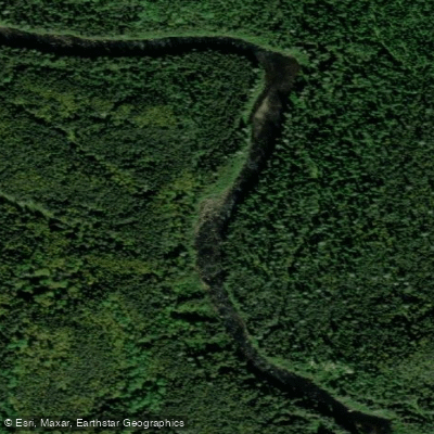
Rivière Pikauba
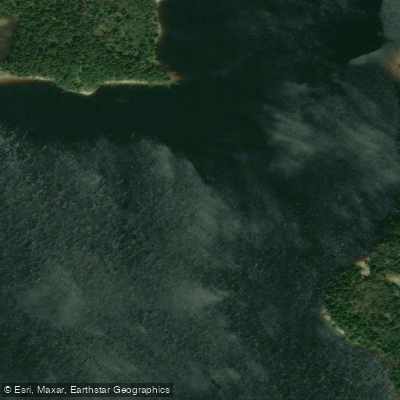
Rivière Shipshaw
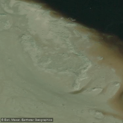
Battures aux Loups Marins
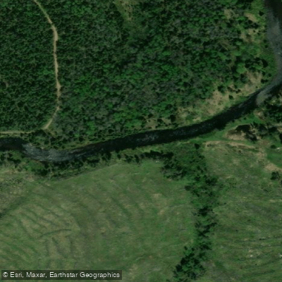
Rivière à Mars
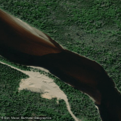
Rivière Mistassini
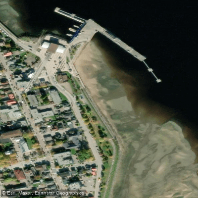
plage de La Baie
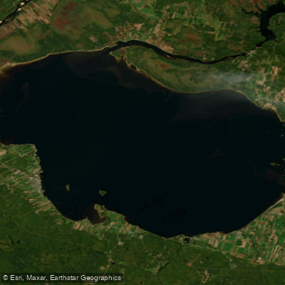
Lac Saint-Jean
Explore Qc waters
Top paddling waters
No waters available right now.
Popular Cities
Loading popular cities...

Smarter Paddling Starts in the App.
Paddleways gives you everything you need to plan smarter, paddle better, and own every trip from first launch to takeout.