Rivière Broadback
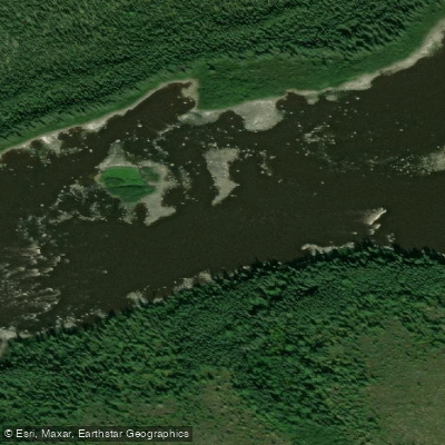
Rivière Broadback
- Boat Ramps
- 0
- Access Points
- 0
- Campsites
- 1
The Broadback River (Rivière Broadback) is a 450-kilometre river in northern Quebec, draining a basin of approximately 20,800 km² before emptying into Rupert Bay at the southern end of James Bay, about 17 kilometres south of the Cree community of Waskaganish. The Cree people know it as Chistamiskau Sipi, meaning "deep river," and also as Matauchun Sipi, "river where water goes in different directions." It originates at Lac Frotet, roughly 95 kilometres north of Chibougamau, at an elevation of 380 metres, and drops to sea level at its mouth. The average discharge is approximately 350 m³/s.
The river is a wilderness whitewater canoe-tripping destination that sees relatively little traffic. A common route runs from the James Bay Highway to Waskaganish, covering approximately 576 kilometres over roughly 26 days including rest days. The elevation drop averages about 1.0 foot per kilometre in the upper section and increases to approximately 4.0 feet per kilometre below the James Bay Highway. Rapids range from Class 1 through Class 5, with most being runnable at moderate water levels; portages are typically flagged but can be mildly overgrown, and some are described as very difficult. One documented trip recorded 13 portages totalling approximately 5.9 kilometres.
Common put-in points include the Route du Nord bridge and the James Bay Highway crossing, with takeout at Waskaganish accessible by boat on James Bay. Emergency access points exist at a logging road and the James Bay Highway bridge. Water levels tend to be higher in late June and lower later in summer; an average flow around 220 m³/s is considered near the upper end of the optimal range for tandem canoes, and many paddlers prefer lower late-summer levels. Spray skirts are recommended.
The river passes through boreal wilderness with notable wildlife including moose, beavers, and porcupines, and offers good fishing. The route includes lakes, swifts, drops, and waterfalls, with campsites found on islands, riverbanks, and at named locations such as Coné Falls. The Rivière Assinica and Rivière Salamandre are among the significant tributaries encountered along the route. Any activity on Category 1 and 2 Cree lands requires authorization from the Band Council. The trip demands very skilled paddlers and portagers with experience on high-volume rivers.
Water access, boat ramps & amenities
Learn how to get on Rivière Broadback. Uncover great paddling access points, boat ramps, and all the facilities you need for an unforgettable day on the water. Some locations shown may border or include private property. Always check property boundaries and applicable regulations before visiting. PaddleWays's Public & Private Land layer can help you plan your access with confidence.
Paddle smarter with real-time insights
Whether you're en route and conditions shift or you're looking for the best spot based on current flows, we enable you to make informed decisions on the fly.







Qc licenses and regulations
No licenses or regulations available for Qc.
Find Places to Paddle

Over 400,000 Places to Paddle
Every user gets free access to launch points, boat ramps, and public property parcels.


Water and weather conditions (10 day forecast)
See the best times to paddle Rivière Broadback and check the forecast before you go.
BROADBACK (RIVIERE) A LA SORTIE DU LAC QUENONISCA
Paddling near Rivière Broadback
Rivière Saguenay
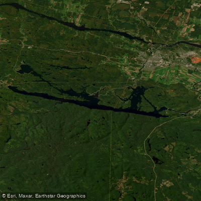
Lac Kénogami
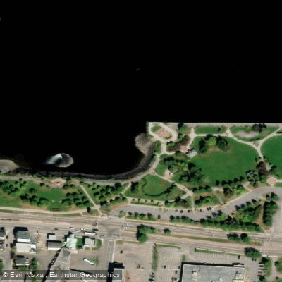
Plage de la zone portuaire de Chicoutimi
Rivière Pikauba
Rivière Shipshaw
Battures aux Loups Marins
Rivière à Mars
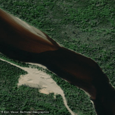
Rivière Mistassini
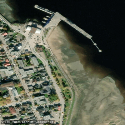
plage de La Baie
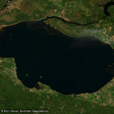
Lac Saint-Jean
Explore Qc waters
Top paddling waters
No waters available right now.
Popular Cities
Loading popular cities...
Explore near Rivière Broadback

Smarter Paddling Starts in the App.
Paddleways gives you everything you need to plan smarter, paddle better, and own every trip from first launch to takeout.