Rivière du Chemin des Canots
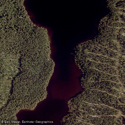
Rivière du Chemin des Canots
- Boat Ramps
- 0
- Access Points
- 0
- Campsites
- 0
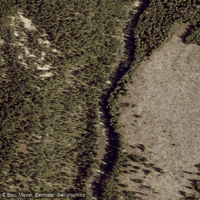
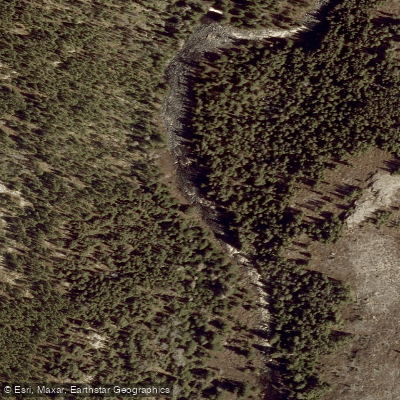
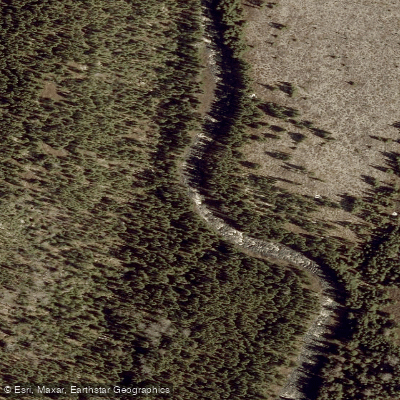
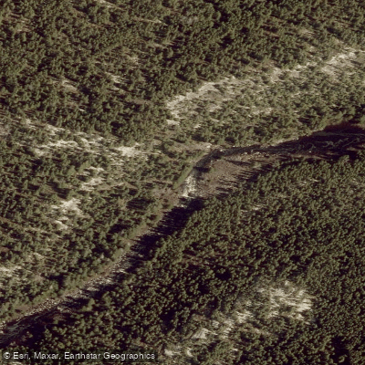
The Rivière du Chemin des Canots is a 20.8-kilometre tributary of the Malbaie River, located within the unorganized territory of Lac-Pikauba in the Charlevoix Regional County Municipality, within Quebec's Capitale-Nationale administrative region. The river flows through the eastern portion of the Laurentides Wildlife Reserve, ultimately joining the Malbaie River on its southwestern bank, across from the zec des Martres. The source sits at an elevation of approximately 925 metres, while the mouth at the Malbaie River lies at around 640 metres, giving the river a meaningful elevation drop over its course.
The middle section of the river features a notable chain of nine lakes aligned roughly north to south over a stretch of 8.4 kilometres, running between Lac Duquette and Lac Robitaille. Canoeing is possible on approximately ten kilometres of the river, though this segment presents challenges that paddlers should be aware of before planning a trip. Access to the lower and middle portions of the valley is provided primarily by forest road R0360 and secondary forest roads, which serve both forestry operations and recreational tourism.
The river's surface typically freezes in early December and remains frozen through late March, with safe ice conditions generally limited to mid-December through mid-March. This freeze-up pattern effectively defines the open-water paddling season as late spring through autumn. Forestry is the dominant economic activity in the surrounding area, with recreational tourism being secondary, so paddlers should expect active forestry operations in the vicinity, particularly along the access roads.
The river corridor sits within the Laurentides Wildlife Reserve, a protected area that may carry specific regulations for visitors, so paddlers are advised to confirm current access and use rules with the relevant Quebec wildlife reserve authorities before planning a trip.
Water access, boat ramps & amenities
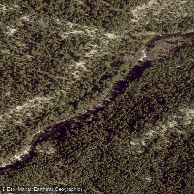
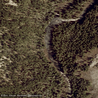
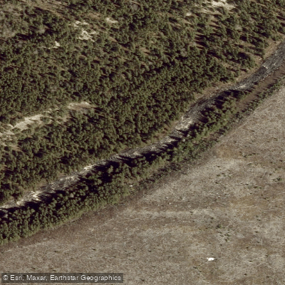
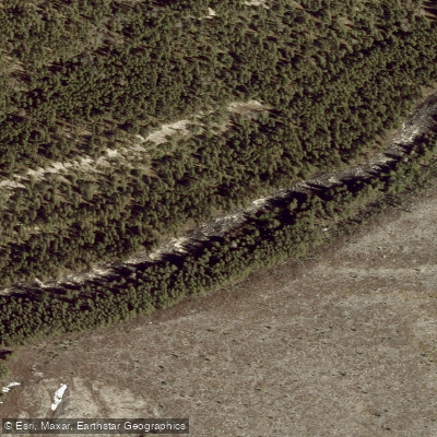
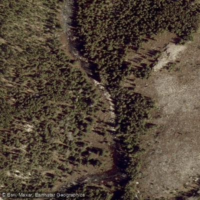
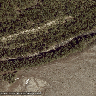
Learn how to get on Rivière du Chemin des Canots. Uncover great paddling access points, boat ramps, and all the facilities you need for an unforgettable day on the water. Some locations shown may border or include private property. Always check property boundaries and applicable regulations before visiting. PaddleWays's Public & Private Land layer can help you plan your access with confidence.
Paddle smarter with real-time insights
Whether you're en route and conditions shift or you're looking for the best spot based on current flows, we enable you to make informed decisions on the fly.







Qc licenses and regulations
No licenses or regulations available for Qc.
Find Places to Paddle

Over 400,000 Places to Paddle
Every user gets free access to launch points, boat ramps, and public property parcels.


Water and weather conditions (10 day forecast)
See the best times to paddle Rivière du Chemin des Canots and check the forecast before you go.
No forecast data available.
Paddling near Rivière du Chemin des Canots

Rivière Saguenay
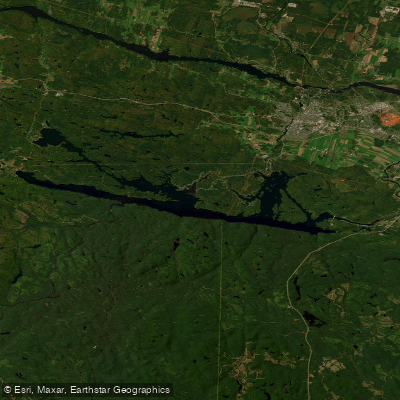
Lac Kénogami
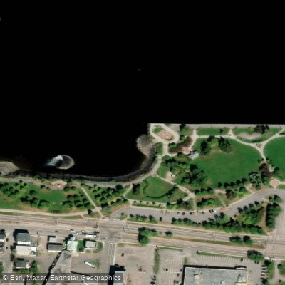
Plage de la zone portuaire de Chicoutimi
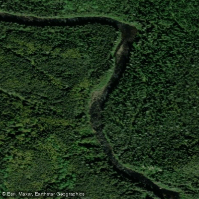
Rivière Pikauba
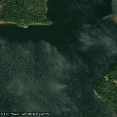
Rivière Shipshaw
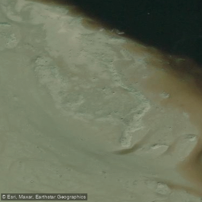
Battures aux Loups Marins
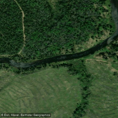
Rivière à Mars
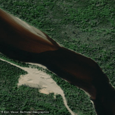
Rivière Mistassini
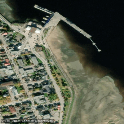
plage de La Baie
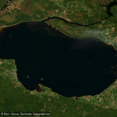
Lac Saint-Jean
Explore Qc waters
Top paddling waters
No waters available right now.
Popular Cities
Loading popular cities...
Explore near Rivière du Chemin des Canots

Smarter Paddling Starts in the App.
Paddleways gives you everything you need to plan smarter, paddle better, and own every trip from first launch to takeout.