Rivière Malbaie
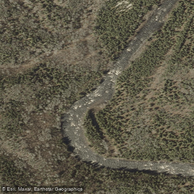
Rivière Malbaie
- Boat Ramps
- 0
- Access Points
- 0
- Campsites
- 3
The Rivière Malbaie flows through Parc national des Hautes-Gorges-de-la-Rivière-Malbaie in the Charlevoix region of Quebec, approximately two hours from Quebec City. The river cuts through a valley flanked by some of the highest rocky cliffs found east of the Rockies, making the paddling corridor visually striking from the water's surface. The gorge's steep mountain walls rise dramatically on either side, offering a perspective of the landscape that is distinct from what hikers experience on the surrounding trails.
The primary access point for paddlers is a boat launch near Le Draveur service centre, located approximately 8 kilometres inside the park from the Félix-Antoine-Savard service centre at the park entrance. This launch ramp accommodates canoes, kayaks, and stand-up paddleboards, and also serves as the starting point for canoe-camping trips on the river. Paddlers typically reach Le Draveur via shuttle bus or private vehicle, depending on the season.
The park offers several paddling formats. Self-guided canoe and kayak rentals are available for periods of two to four hours, with paddles and life jackets included. A guided whitewater option runs 7.5 kilometres downriver in an inflatable canoe, alternating between swift rapids and calmer stretches, led by guides from Descente Malbaie. A rabaska (large voyageur-style canoe) excursion is also available, accompanied by a guide-naturalist. Rentals and guided trips operate seasonally from May through October.
All participants must be able to swim to take part in organized paddling activities. Children under 14 may ride in a canoe with two adults in the middle position without paddling; children are not permitted to paddle a canoe independently but may ride in a kayak. Participants are advised to arrive 30 minutes to one hour before their scheduled departure time.
The river offers a mix of calm flatwater sections and rapids, making it accessible to beginners on the quieter stretches while also providing more dynamic water for those seeking a greater challenge. A waterproof map is provided with rentals. The Acropole-des-Draveurs hiking trail runs above the river valley and is frequently combined with a paddling excursion for those wanting to experience the gorge from multiple vantage points.
Water access, boat ramps & amenities
Learn how to get on Rivière Malbaie. Uncover great paddling access points, boat ramps, and all the facilities you need for an unforgettable day on the water. Some locations shown may border or include private property. Always check property boundaries and applicable regulations before visiting. PaddleWays's Public & Private Land layer can help you plan your access with confidence.
Paddle smarter with real-time insights
Whether you're en route and conditions shift or you're looking for the best spot based on current flows, we enable you to make informed decisions on the fly.







Qc licenses and regulations
No licenses or regulations available for Qc.
Find Places to Paddle

Over 400,000 Places to Paddle
Every user gets free access to launch points, boat ramps, and public property parcels.


Water and weather conditions (10 day forecast)
See the best times to paddle Rivière Malbaie and check the forecast before you go.
MALBAIE (RIVIERE) A CLERMONT
Paddling near Rivière Malbaie
Rivière Saguenay
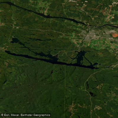
Lac Kénogami
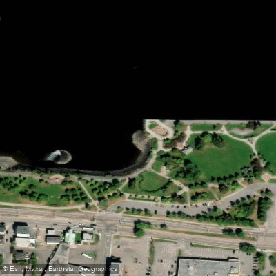
Plage de la zone portuaire de Chicoutimi
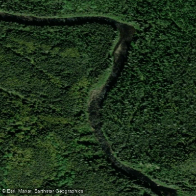
Rivière Pikauba
Rivière Shipshaw
Battures aux Loups Marins
Rivière à Mars
Rivière Mistassini
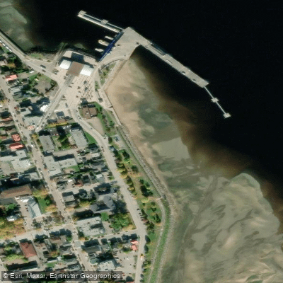
plage de La Baie
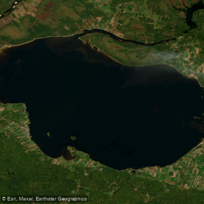
Lac Saint-Jean
Explore Qc waters
Top paddling waters
No waters available right now.
Popular Cities
Loading popular cities...
Explore near Rivière Malbaie

Smarter Paddling Starts in the App.
Paddleways gives you everything you need to plan smarter, paddle better, and own every trip from first launch to takeout.