Rivière Ouiatchouaniche
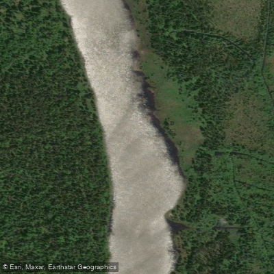
Rivière Ouiatchouaniche
- Boat Ramps
- 0
- Access Points
- 0
- Campsites
- 0
The Rivière Ouiatchouaniche is a 65.7-kilometre river located in the Le Domaine-du-Roy Regional County Municipality within the Saguenay–Lac-Saint-Jean administrative region of Quebec. It originates at Quentin Lake in the unorganized territory of Lac-Ashuapmushuan at an elevation of 301 metres and flows northward through the municipality of Sainte-Hedwidge before reaching the city of Roberval, where it empties into Lac Saint-Jean at an elevation of 101 metres. From Lac Saint-Jean, water continues into the Saguenay River system.
The river passes through terrain that transitions from forested upper and intermediate sections, where forestry is the primary land use, to agricultural land in the lower reaches near the mouth. The upper portion of the valley is accessed via forest roads. The river also falls within the Zec de la Lièvre territory, which may carry specific access or activity regulations that paddlers should verify before planning a trip.
Canot Kayak Québec has produced a dedicated digital map for the river, available free through the Avenza Maps app (iOS and Android), published in April 2023. This map covers the full paddling route and marks put-in and take-out points, rapids, portages, camping sites, and other points of interest along the corridor. The presence of marked rapids and portages indicates the river includes whitewater sections requiring portaging in places.
The river also supports fishing, with northern pike, walleye, and brook trout among the species reported by anglers. The Ouiatchouaniche is listed as a recognized canoe route in Quebec paddling resources, confirming its use as a multi-day paddling destination. The river's name derives from an Indigenous term translating roughly to "the little river where the current is," reflecting its character as a moving-water route rather than a flatwater paddle.
Paddlers planning a trip should consult the Canot Kayak Québec map for detailed route information and should investigate any regulations associated with the Zec de la Lièvre, as controlled zones in Quebec typically require permits for access and overnight use.
Water access, boat ramps & amenities
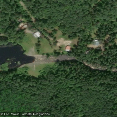
Learn how to get on Rivière Ouiatchouaniche. Uncover great paddling access points, boat ramps, and all the facilities you need for an unforgettable day on the water. Some locations shown may border or include private property. Always check property boundaries and applicable regulations before visiting. PaddleWays's Public & Private Land layer can help you plan your access with confidence.
Paddle smarter with real-time insights
Whether you're en route and conditions shift or you're looking for the best spot based on current flows, we enable you to make informed decisions on the fly.







Qc licenses and regulations
No licenses or regulations available for Qc.
Find Places to Paddle

Over 400,000 Places to Paddle
Every user gets free access to launch points, boat ramps, and public property parcels.


Water and weather conditions (10 day forecast)
See the best times to paddle Rivière Ouiatchouaniche and check the forecast before you go.
OUIATCHOUANE (RIVIERE) AU RESERVOIR DES COMMISSAIRES
All Flow Stations
Paddling near Rivière Ouiatchouaniche
Rivière Saguenay
Lac Kénogami
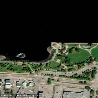
Plage de la zone portuaire de Chicoutimi
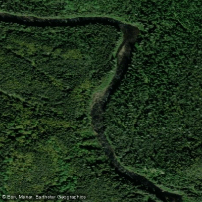
Rivière Pikauba
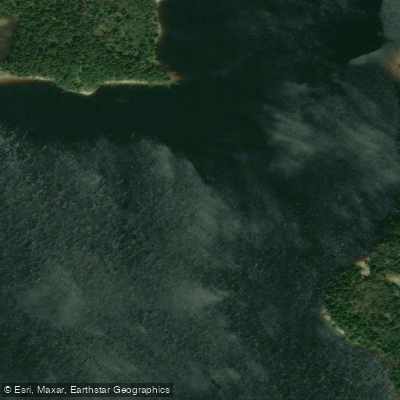
Rivière Shipshaw
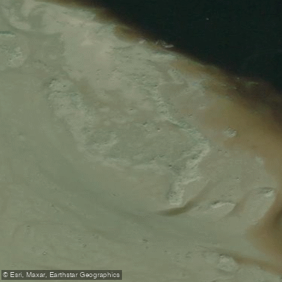
Battures aux Loups Marins
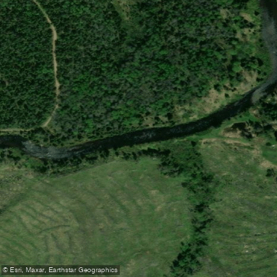
Rivière à Mars
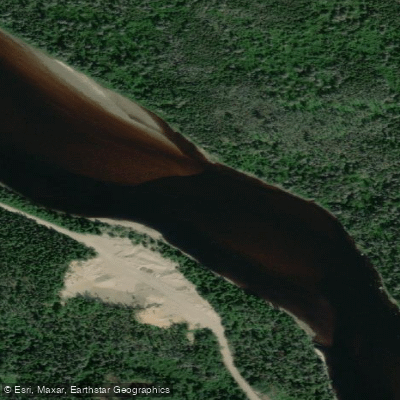
Rivière Mistassini
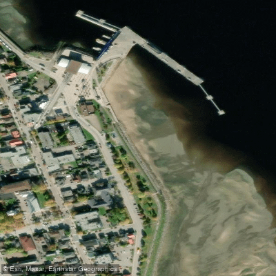
plage de La Baie
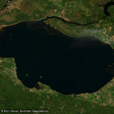
Lac Saint-Jean
Explore Qc waters
Top paddling waters
No waters available right now.
Popular Cities
Loading popular cities...
Explore near Rivière Ouiatchouaniche

Smarter Paddling Starts in the App.
Paddleways gives you everything you need to plan smarter, paddle better, and own every trip from first launch to takeout.