Rivière Valin
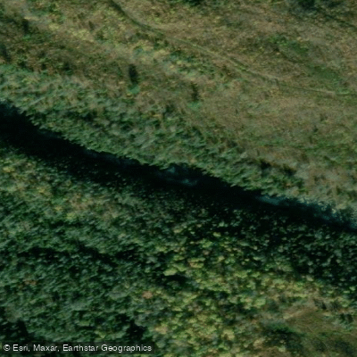
Rivière Valin
- Boat Ramps
- 0
- Access Points
- 0
- Campsites
- 1
The Rivière Valin in Quebec offers two quite different paddling experiences depending on which section is run. The lower canyon section near Saguenay is a demanding whitewater run rated Class V, covering approximately 7.2 miles with an average gradient of 68 feet per mile. The final gorge section is notably steeper at 225 feet per mile. Recommended flows are 10 to 30 cumecs, with 12 cumecs considered a good level for a first descent without a guide. The season for this section runs through spring and summer.
For the canyon run, the take-out is located near Saguenay at a park just before the bridge over the Valin at its confluence with the Saguenay River, accessible via QC-172E to Saint-Honoré. Camping is available at the take-out. The put-in is reached by crossing the Valin on QC-172, turning onto Rang Saint Joseph for 6.8 km, then left onto Rang Sainte Anne for 3.4 km. The shuttle is approximately 12 km and takes about 15 minutes one way. Access conditions at the put-in area may be affected by ongoing residential development nearby. There is at least one portage on the run. Notable rapids include a drop called Honeypot. The canyon section is described as having continuous action with significant drops throughout, with no extended flat sections.
Within Monts-Valin National Park, located approximately 30 km northeast of Saguenay, the Rivière Valin offers a very different experience. The park section features the river's meanders through a valley at the base of the Monts-Valin range, suitable for stand-up paddleboarding and canoeing on calm water. The park provides rental equipment including watercraft, paddles, water shoes, and personal flotation devices, with wetsuits also available for rent. Rentals are booked at the Registration Centre upon arrival. The park setting includes views of wetlands, ponds, and mountain peaks, with brook trout fishing available in high-altitude lakes. Canoeing, kayaking, and paddleboarding are all supported activities within the park.
Water access, boat ramps & amenities
Learn how to get on Rivière Valin. Uncover great paddling access points, boat ramps, and all the facilities you need for an unforgettable day on the water. Some locations shown may border or include private property. Always check property boundaries and applicable regulations before visiting. PaddleWays's Public & Private Land layer can help you plan your access with confidence.
Paddle smarter with real-time insights
Whether you're en route and conditions shift or you're looking for the best spot based on current flows, we enable you to make informed decisions on the fly.







Qc licenses and regulations
No licenses or regulations available for Qc.
Find Places to Paddle

Over 400,000 Places to Paddle
Every user gets free access to launch points, boat ramps, and public property parcels.


Water and weather conditions (10 day forecast)
See the best times to paddle Rivière Valin and check the forecast before you go.
VALIN (RIVIERE) A 3,5 KM DE L'EMBOUCHURE
Paddling near Rivière Valin

Rivière Saguenay
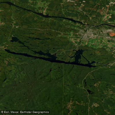
Lac Kénogami
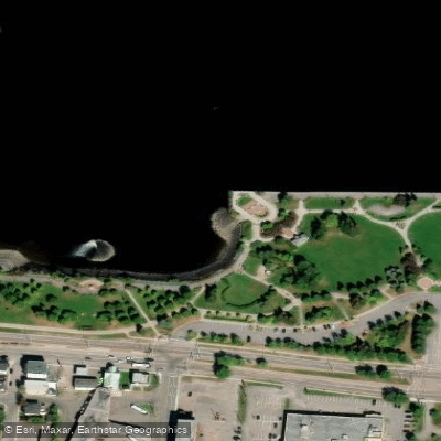
Plage de la zone portuaire de Chicoutimi
Rivière Pikauba
Rivière Shipshaw
Battures aux Loups Marins
Rivière à Mars
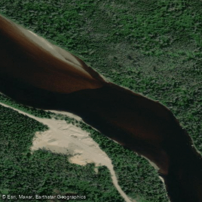
Rivière Mistassini
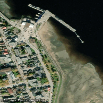
plage de La Baie
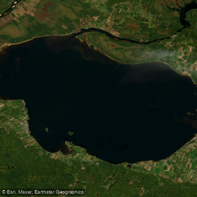
Lac Saint-Jean
Explore Qc waters
Top paddling waters
No waters available right now.
Popular Cities
Loading popular cities...
Explore near Rivière Valin

Smarter Paddling Starts in the App.
Paddleways gives you everything you need to plan smarter, paddle better, and own every trip from first launch to takeout.