Emma Lake
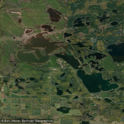
Emma Lake
- Boat Ramps
- 0
- Access Points
- 0
- Campsites
- 0
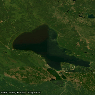
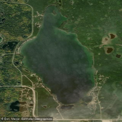
Emma Lake is a recreational lake located approximately 45 kilometres north of Prince Albert, Saskatchewan, accessible via Highways 953, 952, and 263. The lake is situated near the southern edge of the boreal forest, adjacent to Prince Albert National Park, and is one of the more popular recreational lakes in the province.
Geographically, Emma Lake is actually three connected lakes rather than a single body of water, with numerous islands, bays, and coves throughout. The two southern lakes carry the heaviest development, with several communities including Sunnyside Beach, Guise Beach, Neis Beach, Sunset Bay, and the community of Emma Lake itself. The northern lake and portions of the middle lake fall within Great Blue Heron Provincial Park, which offers a comparatively quieter paddling environment. The park encompasses more than 25 kilometres of hiking trails and borders the lake along its northern reaches.
For paddlers, the interconnected three-lake system with its varied bays, coves, and islands provides ample opportunity for exploration. The Fairy Island Wildlife Refuge is located on the lake and represents a notable natural feature worth visiting by paddle. The presence of a great blue heron provincial park on the northern portion of the lake suggests wildlife viewing opportunities consistent with that designation.
Rental equipment is available through the Sunset Bay Marina, which offers kayak, canoe, and stand-up paddleboard rentals on a seasonal, weather-permitting basis. Canoe rentals are priced at $25 per hour or $85 per day, with all necessary equipment including life jackets, paddles, and a marine safety kit included. The marina also operates a boat launch. A second boat launch is available at Murray Point within Great Blue Heron Provincial Park, which also features a large sandy beach and campground facilities including modern showers.
The lake experiences motorized boat traffic, particularly on the southern lakes where development is concentrated, which is a relevant consideration for paddlers. Water levels on Emma Lake have historically been subject to seasonal variation; a diversion channel from Anglin Lake, constructed in 1960, was built specifically to help stabilize these fluctuations. The lake drains into the Saskatchewan River drainage basin, with Montreal Creek and the Emma Lake Diversion as primary inflows.
Water access, boat ramps & amenities
Learn how to get on Emma Lake. Uncover great paddling access points, boat ramps, and all the facilities you need for an unforgettable day on the water. Some locations shown may border or include private property. Always check property boundaries and applicable regulations before visiting. PaddleWays's Public & Private Land layer can help you plan your access with confidence.
Paddle smarter with real-time insights
Whether you're en route and conditions shift or you're looking for the best spot based on current flows, we enable you to make informed decisions on the fly.








Find Places to Paddle

Over 400,000 Places to Paddle
Every user gets free access to launch points, boat ramps, and public property parcels.


Water and weather conditions (10 day forecast)
See the best times to paddle Emma Lake and check the forecast before you go.
EMMA LAKE NEAR TWEEDSMUIR
Paddling near Emma Lake
Explore Sk waters
Top paddling waters
No waters available right now.
Popular Cities
Loading popular cities...
Explore near Emma Lake

Smarter Paddling Starts in the App.
Paddleways gives you everything you need to plan smarter, paddle better, and own every trip from first launch to takeout.