North Saskatchewan River
North Saskatchewan River
- Boat Ramps
- 5
- Access Points
- 0
- Campsites
- 2
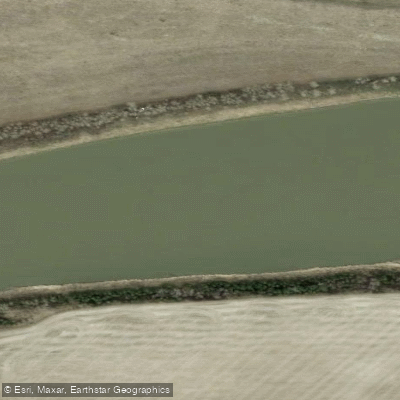
The North Saskatchewan River originates in the Jasper area of western Alberta and flows eastward across the entire province before crossing into Saskatchewan, where it eventually joins the South Saskatchewan River. In Alberta, the river passes through dramatically different landscapes, from the glacially fed mountain and foothills terrain near Nordegg and Rocky Mountain House to the broad river valley that bisects Edmonton and the agricultural lowlands stretching east toward Fort Saskatchewan and Smoky Lake County.
The stretch between Nordegg and Rocky Mountain House is widely regarded as the premier canoe run in Alberta, covering approximately 105 kilometres through foothills scenery with whitewater sections, sandstone canyon walls, and old-growth forest camping spots. This section typically takes two to four days to complete, though shorter single-day options are possible. The glacial water carves through sandstone layers, and the consistent flow rates support a long paddling season. The put-in and take-out points are dependable, and the area is roughly a two-and-a-half-hour drive from both Edmonton and Calgary. Intermediate access points exist at Saskatchewan Crossing, Nordegg Bridge, Rocky Mountain House, and Drayton Valley.
Through Edmonton, the river moves at a noticeably slower pace and is suitable for all skill levels. The 16-kilometre section flowing through the city offers a distinctly urban paddling experience, with the downtown skyline visible from the water and the river valley forming the largest urban park in Canada. The valley supports wildlife and productive fishing.
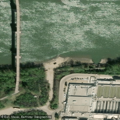
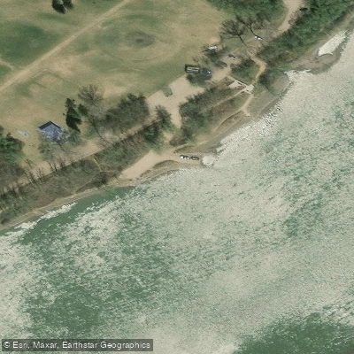
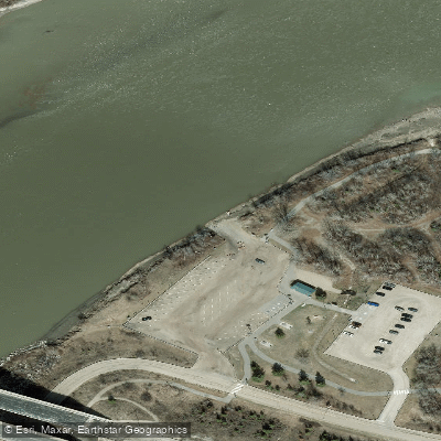
Access points in the Edmonton area are numerous, running west to east from Devon through the city to Fort Saskatchewan. Common put-ins and take-outs include Devon Bridge, River Valley Lions Campground, Terwillegar Park, Whitemud Park, Laurier Park Boat Launch, Emily Murphy Park, Rafter's Landing, Dawson Park, Capilano Park (50th Street Boat Launch), Hermitage Park, and Red Coat Landing at Rivers Edge Park in Fort Saskatchewan. The City of Edmonton installs docks annually in late June or early July, following high-water events from mountain dam releases, and removes them in mid-fall. All vessels under six metres must carry required safety equipment per Transport Canada regulations, and lifejackets are mandatory in Edmonton. River levels can run high earlier in the season, which has historically delayed dock installation and can affect access.
Water access, boat ramps & amenities
Learn how to get on North Saskatchewan River. Uncover great paddling access points, boat ramps, and all the facilities you need for an unforgettable day on the water. Some locations shown may border or include private property. Always check property boundaries and applicable regulations before visiting. PaddleWays's Public & Private Land layer can help you plan your access with confidence.
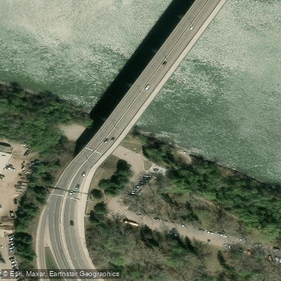
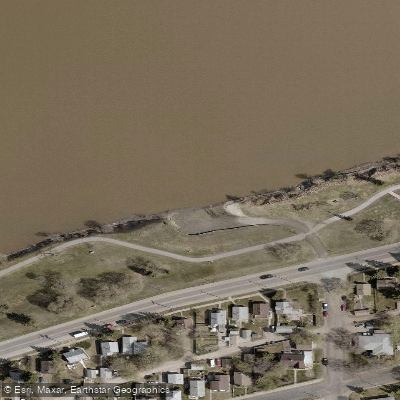
Paddle smarter with real-time insights
Whether you're en route and conditions shift or you're looking for the best spot based on current flows, we enable you to make informed decisions on the fly.







Ab licenses and regulations
No licenses or regulations available for Ab.
Find Places to Paddle

Over 400,000 Places to Paddle
Every user gets free access to launch points, boat ramps, and public property parcels.


Water and weather conditions (10 day forecast)
See the best times to paddle North Saskatchewan River and check the forecast before you go.
NORTH SASKATCHEWAN RIVER AT EDMONTON
All Flow Stations
Paddling near North Saskatchewan River
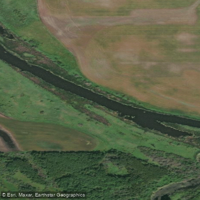
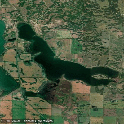
Explore Ab waters
Top paddling waters
No waters available right now.
Popular Cities
Loading popular cities...
Explore near North Saskatchewan River
Access points
Nearby waters
More in Ab

Smarter Paddling Starts in the App.
Paddleways gives you everything you need to plan smarter, paddle better, and own every trip from first launch to takeout.