Rivière Saskatchewan Sud
Rivière Saskatchewan Sud
- Boat Ramps
- 7
- Access Points
- 0
- Campsites
- 1
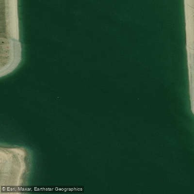
The South Saskatchewan River (Rivière Saskatchewan Sud) flows through the heart of Saskatoon and offers accessible paddling for beginners through experienced paddlers. The river is rated up to Class II, with no mandatory portages under normal water levels, though low water conditions may require dragging a boat across occasional sandbars. The current generally moves in an eastern then northward direction as it approaches Saskatoon, providing a natural downstream float with relatively straightforward navigation.
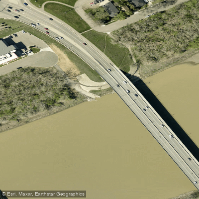
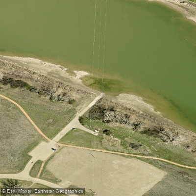
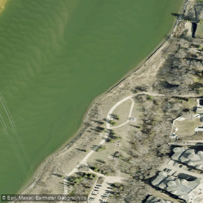
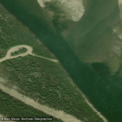
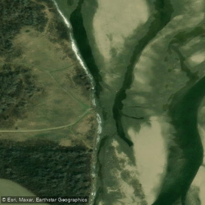
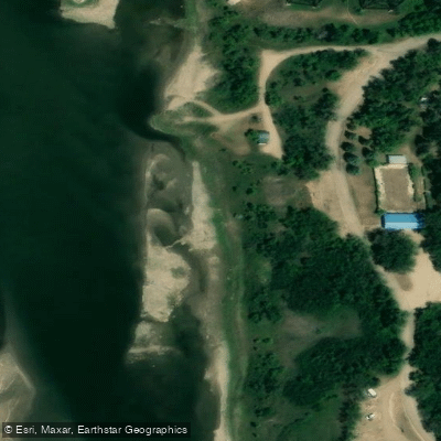
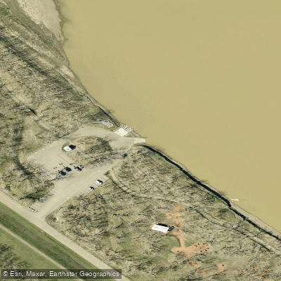
Several well-established access points serve paddlers in the Saskatoon area. The Fred Heal Canoe Launch, reached via Highway 219 south of the city, offers a parking lot and a path to the water, though signage is minimal. Poplar Bluffs Conservation Area, located about 6 km south on Valley Road with an additional 2 km access road, has a 100-metre walk to the river followed by a short steep bank descent; parking is available from 9 AM to 9 PM daily during the May long weekend through Labour Day, and on weekends through October 31. Rotary Park within the city provides easy river access with a small sandy beach and ample parking, making it a convenient take-out. Other launch options include the Berry Barn and Whitecap Dakota First Nation.
Common route distances from various put-ins to Saskatoon range from approximately 13 km (Poplar Bluffs) to 125 km (Gardiner Dam), with the Fred Heal to Saskatoon stretch being a popular day trip. The Meewasin Valley Authority has published a series of maps covering the river from Gardiner Dam to the Forks, divided into short day trips and including information on access points, egress, hazards, and local history.
Wind is a notable hazard, as calm conditions can shift quickly when wind funnels down the river valley. Within Saskatoon city limits, swimming in the river is prohibited under Bylaw No. 4433, though wading is permitted. Operating watercraft requires proof of competency, and a lifejacket or PFD must be on board for every person. The city's public boat launch closes when flow rates reach or exceed 1,000 cubic metres per second.
The river corridor supports diverse wildlife including great blue herons, bald eagles, deer, beavers, and otters. The Cranberry Flats area on river right is a noted bird-watching location. Islands such as Hershall Island appear along the route, and water levels influence which channels are navigable around them. No permit is typically required for recreational paddling, though checking with local authorities for any area-specific restrictions is advisable.
Water access, boat ramps & amenities
Learn how to get on Rivière Saskatchewan Sud. Uncover great paddling access points, boat ramps, and all the facilities you need for an unforgettable day on the water. Some locations shown may border or include private property. Always check property boundaries and applicable regulations before visiting. PaddleWays's Public & Private Land layer can help you plan your access with confidence.
Paddle smarter with real-time insights
Whether you're en route and conditions shift or you're looking for the best spot based on current flows, we enable you to make informed decisions on the fly.








Find Places to Paddle

Over 400,000 Places to Paddle
Every user gets free access to launch points, boat ramps, and public property parcels.


Water and weather conditions (10 day forecast)
See the best times to paddle Rivière Saskatchewan Sud and check the forecast before you go.
SOUTH SASKATCHEWAN RIVER AT MEDICINE HAT
All Flow Stations
Paddling near Rivière Saskatchewan Sud
Explore Sk waters
Top paddling waters
No waters available right now.
Popular Cities
Loading popular cities...
Explore near Rivière Saskatchewan Sud
Access points
More in Sk

Smarter Paddling Starts in the App.
Paddleways gives you everything you need to plan smarter, paddle better, and own every trip from first launch to takeout.