Swift Current Creek
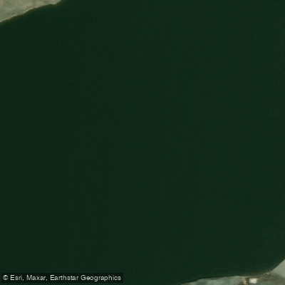
Swift Current Creek
- Boat Ramps
- 0
- Access Points
- 0
- Campsites
- 2
Swift Current Creek originates in the Cypress Hills at an elevation of approximately 1,143 metres and flows in a north-easterly direction through valleys and coulees across the semi-arid landscape of Palliser's Triangle, eventually emptying into Lake Diefenbaker on the South Saskatchewan River. Notable communities along its course include Swift Current, Waldeck, and South Fork. The creek passes through ranch lands and grassland coulees, giving paddlers a sense of open prairie wilderness throughout much of its length.
Within the city of Swift Current, Riverside Park offers two stretches of creek on either side of a dam that are suitable for canoeing, kayaking, and paddleboarding. A dedicated launch for kayaks and canoes is located just off the main pathway running through the park, making access straightforward. This urban section provides a manageable outing for paddlers of varying experience levels.
Further downstream near the small community of Simmie, Carefree Adventures has operated guided kayak tours and rentals since 2009. From the cottage community along the creek near Simmie, paddlers can head upstream when water levels allow, or paddle through to the Duncairn Dam reservoir, also known as Reid Lake. Water levels are an important consideration on this stretch, as access to certain routes depends on sufficient flow.
On the lower reaches near the creek's estuary where it meets the South Saskatchewan River, paddlers encounter a transition from moving water to calmer, wider conditions. The route from a bridge east of Stewart Valley down to the estuary has been paddled by kayakers, with at least one account noting riffles in the creek before reaching the broad, calm estuary. This section passes through grassland coulees rich in birdlife, including Yellow-Breasted Chats and Willow Flycatchers. Pincushion cactus bloom along the banks in season.
On the ranch land sections, paddlers should be prepared for shallow water, gravel bars requiring portages, and barbed wire fences crossing the creek. The creek's character varies considerably depending on rainfall and seasonal water levels, which can affect the feasibility of certain routes. High water following significant rainfall opens up stretches that may otherwise be too shallow to navigate.
Water access, boat ramps & amenities
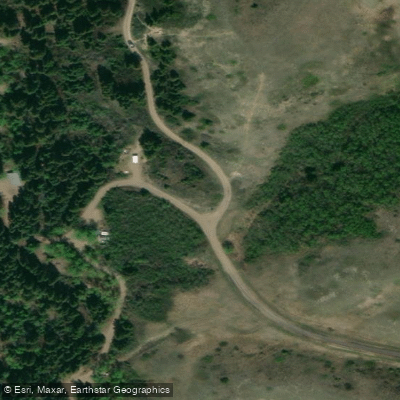
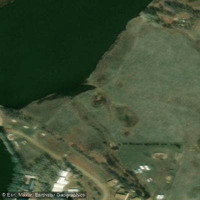
Learn how to get on Swift Current Creek. Uncover great paddling access points, boat ramps, and all the facilities you need for an unforgettable day on the water. Some locations shown may border or include private property. Always check property boundaries and applicable regulations before visiting. PaddleWays's Public & Private Land layer can help you plan your access with confidence.
Paddle smarter with real-time insights
Whether you're en route and conditions shift or you're looking for the best spot based on current flows, we enable you to make informed decisions on the fly.








Find Places to Paddle

Over 400,000 Places to Paddle
Every user gets free access to launch points, boat ramps, and public property parcels.


Water and weather conditions (10 day forecast)
See the best times to paddle Swift Current Creek and check the forecast before you go.
REID LAKE NEAR DUNCAIRN
All Flow Stations
Paddling near Swift Current Creek
Explore Sk waters
Top paddling waters
No waters available right now.
Popular Cities
Loading popular cities...
Explore near Swift Current Creek
Access points
More in Sk

Smarter Paddling Starts in the App.
Paddleways gives you everything you need to plan smarter, paddle better, and own every trip from first launch to takeout.