Thunder Creek
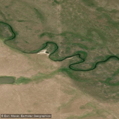
Thunder Creek
- Boat Ramps
- 0
- Access Points
- 0
- Campsites
- 0
Thunder Creek is a river in south-central Saskatchewan, flowing from a small man-made reservoir near Lake Diefenbaker in a south-easterly direction toward the city of Moose Jaw, where it empties into Plaxton's Lake as the largest tributary of the Moose Jaw River. Its course follows the Thunder Creek meltwater channel, a valley formed over 10,000 years ago near the end of the last ice age. The watershed lies within the semi-arid region of Palliser's Triangle.
The most accessible paddling on Thunder Creek is at its lower end, near Moose Jaw. The creek's mouth enters Plaxton's Lake just south of a boardwalk along the lake's edge, passing under Highway 2 before draining in. Paddlers can access this stretch by paddling up from the Moose Jaw River and Plaxton's Lake. The riverbanks along this section are low, and the water is shallow. The creek passes under several bridges, including the Fourth Street viaduct and a series of older rail bridges associated with the adjacent rail corridor. As the creek progresses upstream from the mouth, it narrows steadily until it becomes too constricted to continue, at which point paddlers must turn back. This makes the lower Thunder Creek essentially an out-and-back paddle of limited distance.
The urban setting near Moose Jaw means paddlers will have views of notable city landmarks including the train station and grain elevator. The fish species present in the Thunder Creek system include northern pike, common carp, burbot, largemouth bass, yellow perch, and walleye. The broader watershed supports a variety of bird species, including American avocet, marbled godwit, Wilson's phalarope, tundra swan, western grebe, American white pelican, and several duck species.
Water access, boat ramps & amenities
Learn how to get on Thunder Creek. Uncover great paddling access points, boat ramps, and all the facilities you need for an unforgettable day on the water. Some locations shown may border or include private property. Always check property boundaries and applicable regulations before visiting. PaddleWays's Public & Private Land layer can help you plan your access with confidence.
Paddle smarter with real-time insights
Whether you're en route and conditions shift or you're looking for the best spot based on current flows, we enable you to make informed decisions on the fly.








Find Places to Paddle

Over 400,000 Places to Paddle
Every user gets free access to launch points, boat ramps, and public property parcels.


Water and weather conditions (10 day forecast)
See the best times to paddle Thunder Creek and check the forecast before you go.
No forecast data available.
Paddling near Thunder Creek
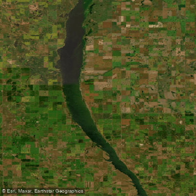
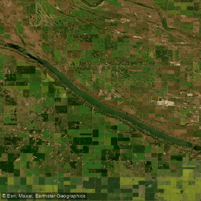
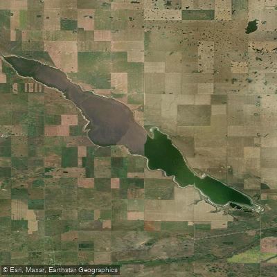
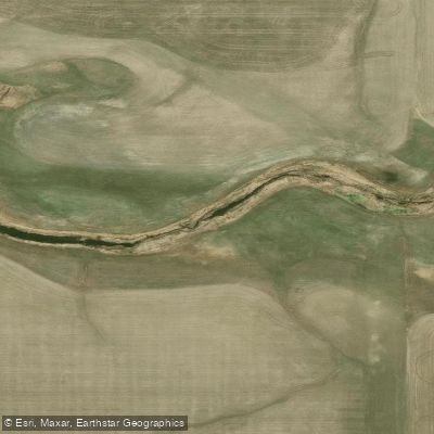
Explore Sk waters
Top paddling waters
No waters available right now.
Popular Cities
Loading popular cities...
Explore near Thunder Creek

Smarter Paddling Starts in the App.
Paddleways gives you everything you need to plan smarter, paddle better, and own every trip from first launch to takeout.