Moose Jaw River
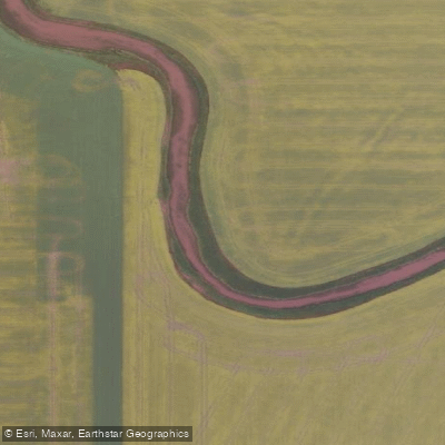
Moose Jaw River
- Boat Ramps
- 0
- Access Points
- 0
- Campsites
- 1
The Moose Jaw River flows through the southern Saskatchewan city of Moose Jaw, draining a total watershed of approximately 9,360 square kilometres before joining the Qu'Appelle River at Buffalo Pound Provincial Park. The river originates at Ibsen Lake at an elevation of 575 metres and travels northward through the Prairie Pothole Region, Palliser's Triangle, and the Great Plains ecoregion. It is a slow-moving waterway well suited to new paddlers while remaining interesting for those with more experience.
Within the city, the river passes through Wakamow Valley, a natural corridor that supports over 190 species of birds along with various flora and fauna, including painted turtles, mule deer, and mallard ducks. Wildlife sightings are most likely very early or late in the day. The riverbanks through this stretch are notably hilly and steeply cut in places. Along the route, paddlers pass under several bridges of varying age and construction, including a pedestrian suspension bridge upstream of the city, a tall Highway 2 girder bridge, and a series of older rail bridges. Thunder Creek, a tributary that joins near the city centre, can be explored by paddling upstream briefly, offering views of the historic train station and a grain elevator before the creek becomes too narrow to continue.
Canoe and kayak rentals are available through Moose Jaw River and Adventure Tours, reachable at 306-313-2212. The Moose Jaw Canoe and Kayak Club also organizes regular trips on the river. The Wakamow Valley area serves as a practical base for paddling access within the city.
Anglers fishing the river most commonly target northern pike, walleye, and common carp. Paddlers should be aware that the river contains at least one dam within the city stretch, which will require a portage. Historical mercury contamination was identified in sediment associated with a creek in the watershed; remediation work was carried out under an agreement involving multiple government bodies and Canadian Pacific Railway, with contaminated sediment removed and stored in bentonite clay-lined containment areas adjacent to the creek.
Water access, boat ramps & amenities
Learn how to get on Moose Jaw River. Uncover great paddling access points, boat ramps, and all the facilities you need for an unforgettable day on the water. Some locations shown may border or include private property. Always check property boundaries and applicable regulations before visiting. PaddleWays's Public & Private Land layer can help you plan your access with confidence.
Paddle smarter with real-time insights
Whether you're en route and conditions shift or you're looking for the best spot based on current flows, we enable you to make informed decisions on the fly.








Find Places to Paddle

Over 400,000 Places to Paddle
Every user gets free access to launch points, boat ramps, and public property parcels.


Water and weather conditions (10 day forecast)
See the best times to paddle Moose Jaw River and check the forecast before you go.
MOOSE JAW RIVER ABOVE THUNDER CREEK
All Flow Stations
Paddling near Moose Jaw River
Explore Sk waters
Top paddling waters
No waters available right now.
Popular Cities
Loading popular cities...
Explore near Moose Jaw River

Smarter Paddling Starts in the App.
Paddleways gives you everything you need to plan smarter, paddle better, and own every trip from first launch to takeout.