Firth River
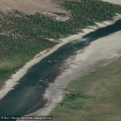
Firth River
- Boat Ramps
- 0
- Access Points
- 0
- Campsites
- 24
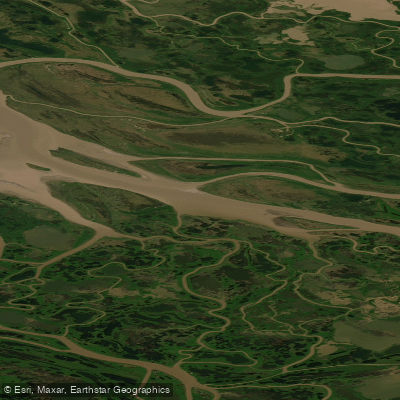
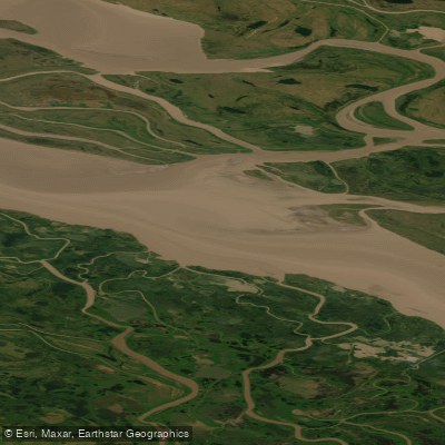
The Firth River flows approximately 150 miles from the Brooks Range through Ivvavik National Park in Canada's northern Yukon Territory, ultimately emptying into the Beaufort Sea. It is considered geologically Canada's oldest river and passes through four distinct sections: the Aufeis Reach, the Mountain Reach, the Canyon Reach, and the Delta Reach. The river is rated Class III–IV and is best suited to rafts, making it a technically demanding trip appropriate for experienced paddlers.
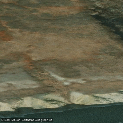
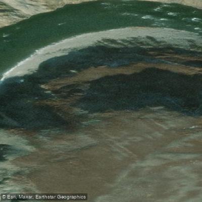
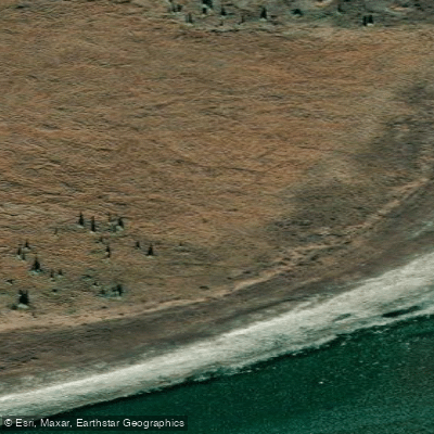
The standard put-in is at Margaret Lake (68.6366°N, 141.5872°W), where floatplanes can land on the lake itself and wheeled aircraft can use a strip across the river. The standard take-out is Nunaluk Spit (69.5076°N, 139.4856°W) on the Beaufort Sea coast, where a Twin Otter can land. Some groups continue paddling to Herschel Island (69.5537°N, 139.2240°W), though pack ice can make this option impossible, and it is generally advised to take out at the spit. Access to and from the river requires charter flights; Inuvik, Northwest Territories, is the nearest jet-served airport.
Paddling the Firth requires a backcountry permit through Ivvavik National Park, at a cost of $9 CAD per person per day. Private party access is extremely limited — only 20 days per year are allocated to private groups, meaning roughly 40 private visitors annually. A separate Parks Canada fishing permit is required for Arctic Char fishing, which is described as excellent. The park has no roads, facilities, established trails, or campgrounds. A Parks Canada station at Sheep Creek is only periodically occupied during summer months.
The canyon section contains the most significant whitewater, with Class III and IV rapids. The upper headwaters near the Alaska border are small, braided, and typically covered in aufeis (river ice) until August. The river's waters are described as clear and cold. The surrounding landscape is above treeline, with the British Mountains providing alpine terrain accessible for hiking.
Wildlife along the river includes the Porcupine caribou herd, numbering approximately 250,000 animals, which ford the river during their annual migration. Muskox are also regularly encountered. The Engistiak archaeological site along the river contains Inuvialuit artifacts and tools dating back over 8,000 years, as well as Pleistocene megafauna fossil remains. Commercial guided trips typically run in late June and July.
Water access, boat ramps & amenities
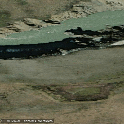
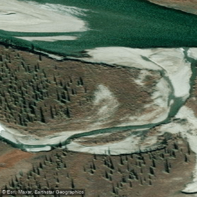
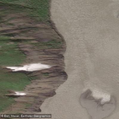
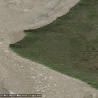
Learn how to get on Firth River. Uncover great paddling access points, boat ramps, and all the facilities you need for an unforgettable day on the water. Some locations shown may border or include private property. Always check property boundaries and applicable regulations before visiting. PaddleWays's Public & Private Land layer can help you plan your access with confidence.
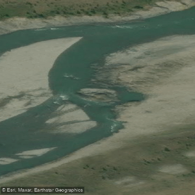
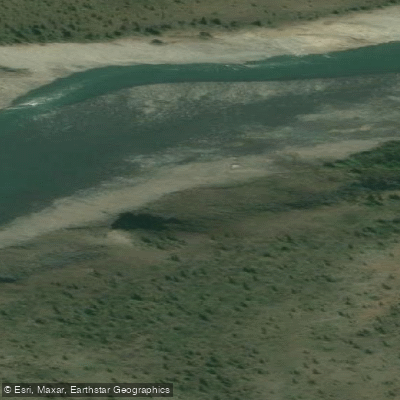
Paddle smarter with real-time insights
Whether you're en route and conditions shift or you're looking for the best spot based on current flows, we enable you to make informed decisions on the fly.







Yt licenses and regulations
No licenses or regulations available for Yt.
Find Places to Paddle

Over 400,000 Places to Paddle
Every user gets free access to launch points, boat ramps, and public property parcels.


Water and weather conditions (10 day forecast)
See the best times to paddle Firth River and check the forecast before you go.
FIRTH RIVER NEAR THE MOUTH
Explore Yt waters
Top paddling waters
No waters available right now.
Popular Cities
Loading popular cities...
Explore near Firth River
Access points
More in Yt

Smarter Paddling Starts in the App.
Paddleways gives you everything you need to plan smarter, paddle better, and own every trip from first launch to takeout.