Dehcho
Dehcho
- Boat Ramps
- 0
- Access Points
- 0
- Campsites
- 0
The Dehcho — the Dene name meaning "Great River" — is the Mackenzie River, Canada's longest river and the centerpiece of its largest watershed, which covers more than one and a half times the land area of Ontario. The river connects the Dehcho, Sahtu, and Gwich'in First Nation regions and flows through to the Inuvialuit Settlement Region near the Mackenzie Delta. It is a river of considerable scale and power, and paddlers should expect big water with exposure to wind; the river can be quite open and unprotected, making wind management a significant factor in daily travel planning. Shallow and rocky sections also exist along the route, which can be demanding on equipment.
A common put-in is at or near Hay River, located on the southern edge of Great Slave Lake, which sits roughly 40 miles from the source of the Mackenzie. Fort Providence is another noted starting point for those paddling to Inuvik. The river passes through communities including Wrigley and Fort Good Hope before reaching Inuvik, more than 1,000 kilometres downstream from points upstream of Wrigley. Inuvik serves as a practical take-out, offering a recreation centre, hotels, and a full grocery store — amenities that are largely absent along the route.
The recommended paddling season runs from June to September. The route is sparsely populated and the landscape remains largely undeveloped, with navigation buoys and small hamlets being among the few signs of modern infrastructure. Wildlife is present throughout, and insects — mosquitoes, black flies, and deer flies — are a consistent presence in the backcountry environment and should be expected throughout the summer season.
Canoe North, based in Hay River, is the primary outfitter serving the route, offering canoe and kayak rentals along with logistical support including throw bags, PFDs, satellite phones, and GPS units. Topographic maps at 1:250,000 scale are available for the full length of the river, and nautical charts are also obtainable through specialty map retailers. The Dehcho Paddlers Association maintains planning resources for those undertaking the journey.
The river carries deep cultural significance for the Dene people, who have used it for hunting, fishing, and travel for centuries. Alexander Mackenzie traveled the river with Indigenous guides in 1789, and the route remains one of the more historically resonant long-distance paddling journeys in Canada.
Water access, boat ramps & amenities
Learn how to get on Dehcho. Uncover great paddling access points, boat ramps, and all the facilities you need for an unforgettable day on the water. Some locations shown may border or include private property. Always check property boundaries and applicable regulations before visiting. PaddleWays's Public & Private Land layer can help you plan your access with confidence.
Paddle smarter with real-time insights
Whether you're en route and conditions shift or you're looking for the best spot based on current flows, we enable you to make informed decisions on the fly.







Nt licenses and regulations
No licenses or regulations available for Nt.
Find Places to Paddle

Over 400,000 Places to Paddle
Every user gets free access to launch points, boat ramps, and public property parcels.


Water and weather conditions (10 day forecast)
See the best times to paddle Dehcho and check the forecast before you go.
No forecast data available.
Paddling near Dehcho
Williston Lake
Baker Lake
Atlin Lake
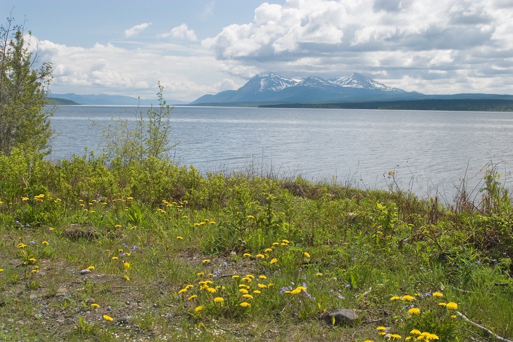
Teslin Lake
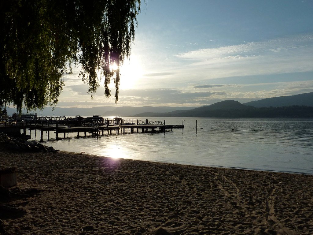
Okanagan Lake
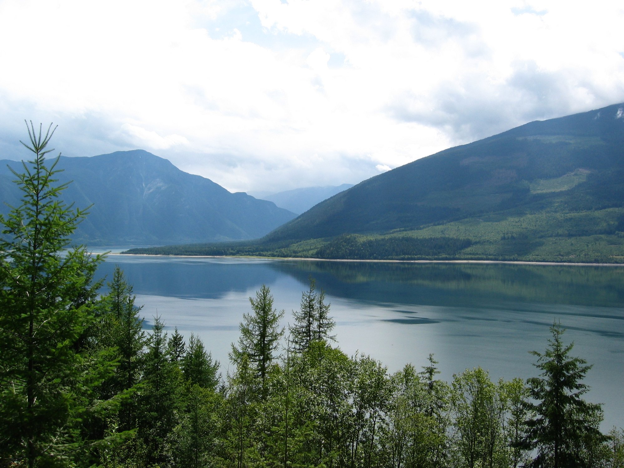
Upper Arrow Lake
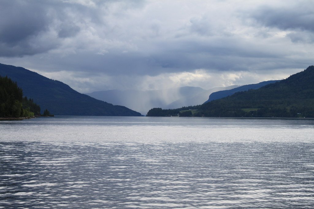
Shuswap Lake
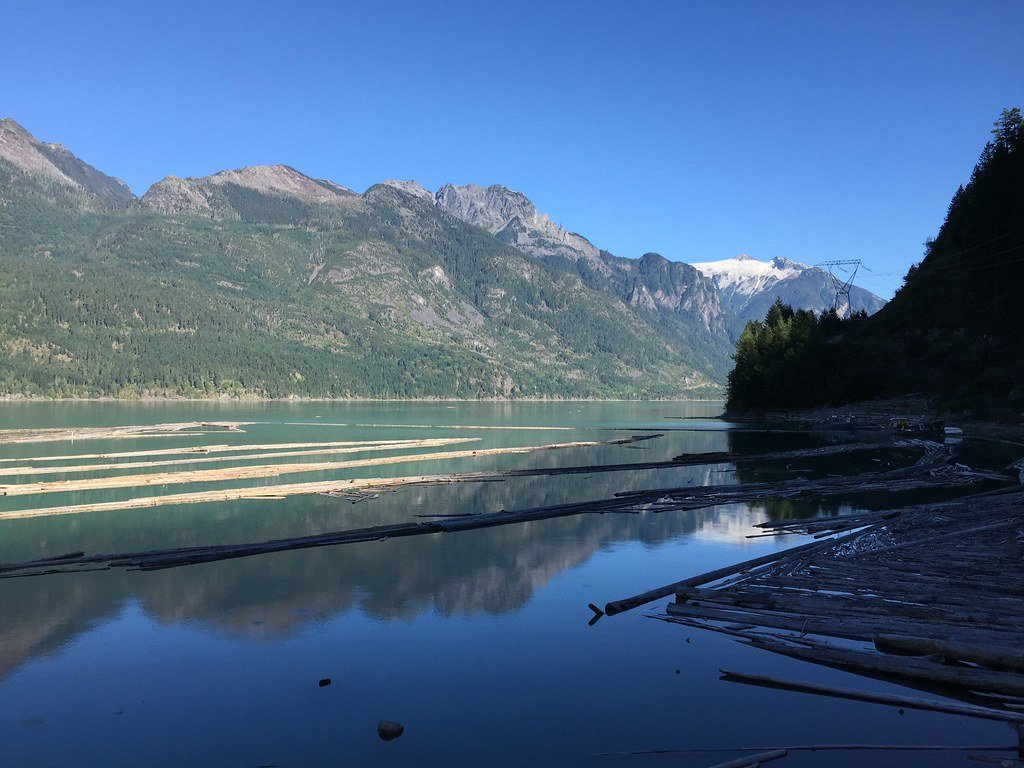
Harrison Lake
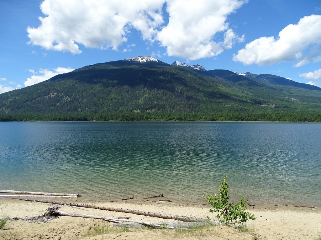
Lower Arrow Lake
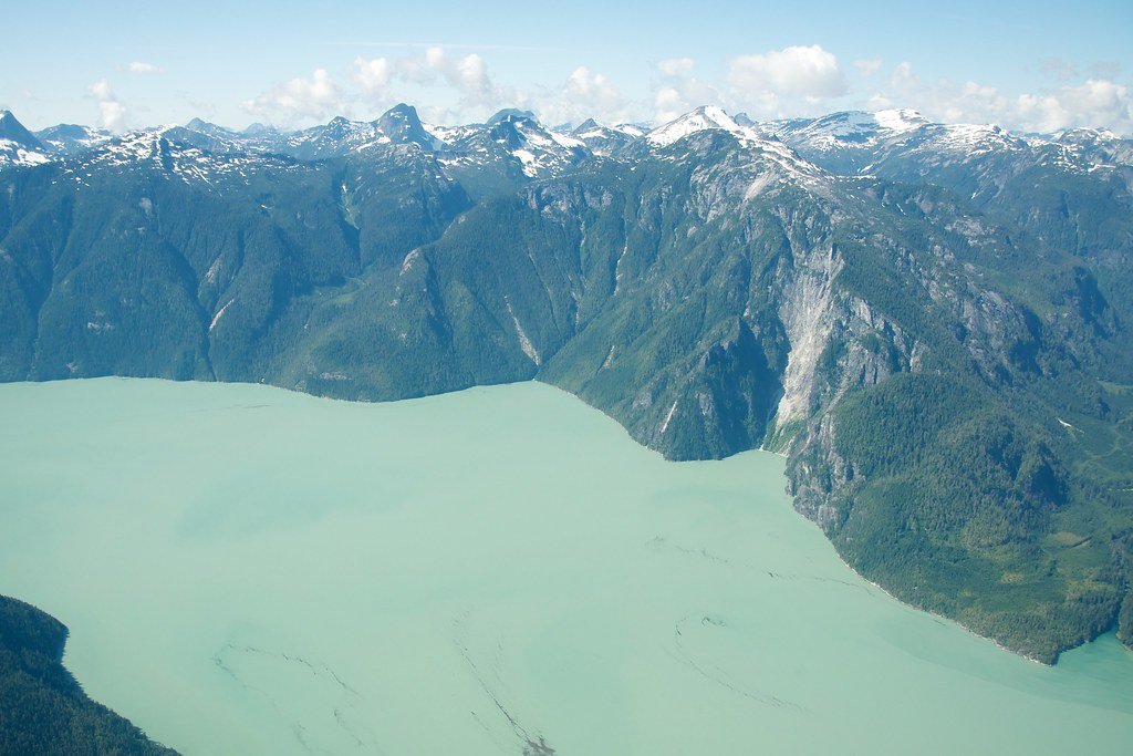
Knight Inlet
Explore Nt waters
Top paddling waters
No waters available right now.
Popular Cities
Loading popular cities...
Explore near Dehcho

Smarter Paddling Starts in the App.
Paddleways gives you everything you need to plan smarter, paddle better, and own every trip from first launch to takeout.