Fleuve Yukon
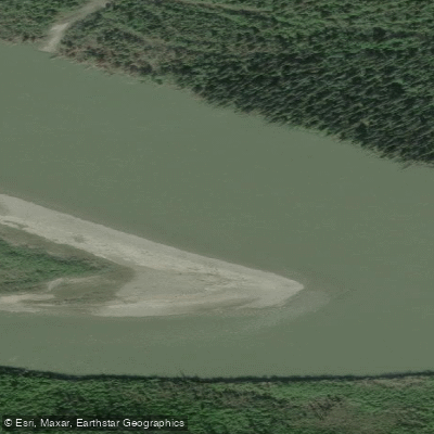
Fleuve Yukon
- Boat Ramps
- 1
- Access Points
- 0
- Campsites
- 18
The Yukon River stretches 3,190 kilometres from its source in British Columbia through the Yukon Territory and continues west through Alaska before emptying into the Bering Sea. Within the Yukon, the river passes through the traditional territories of the Tr'ondëk Hwëch'in, Tutchone, Tagish, and Tlingit peoples, and its role as the region's primary highway from prehistoric times until the late 1950s gives it deep historical and cultural weight. During the Klondike Gold Rush, nearly 30,000 gold seekers in approximately 7,000 boats travelled the river toward the goldfields at Dawson City.
The open paddling season runs from late May until mid-September. Ice and snow typically persist on the river until mid-May or later, making earlier travel impractical. The long summer days, including periods of midnight sun, allow for extended paddling hours.
A classic multi-day route begins in downtown Whitehorse and heads north. The first major landmark is Lake Laberge, made famous by Robert Service's poem "The Cremation of Sam McGee," where camping on the shoreline is common and day hiking opportunities are available. Continuing north from Lake Laberge, paddlers pass through the section known as the Thirty Mile before reaching Hootalinqua, a historically significant gathering and trade site whose name derives from a Northern Tutchone word meaning "running against the mountain." The community of Carmacks lies roughly seven days of paddling beyond Lake Laberge. Dawson City is a further destination along the route.
The landscape along the river remains predominantly within the boreal forest throughout the Canadian section. Bank character varies — some stretches feature elevated banks, others expose volcanic rock, and the river corridor supports eagle nests, cliff swallows, shorebirds, ducks, bears, and moose.
No permit is required to canoe or kayak on the Yukon River. Paddlers operating a motorized vessel must carry proof of competency such as a Pleasure Craft Operator Card or equivalent boating safety certificate. A separate fishing licence is required for anyone intending to fish, available online or at locations in Whitehorse.
Canoe and kayak rentals, guided trips, and outfitting services are available through operators based in Whitehorse, providing equipment and logistical support for both independent and guided expeditions.
Water access, boat ramps & amenities
Learn how to get on Fleuve Yukon. Uncover great paddling access points, boat ramps, and all the facilities you need for an unforgettable day on the water. Some locations shown may border or include private property. Always check property boundaries and applicable regulations before visiting. PaddleWays's Public & Private Land layer can help you plan your access with confidence.
Paddle smarter with real-time insights
Whether you're en route and conditions shift or you're looking for the best spot based on current flows, we enable you to make informed decisions on the fly.







Yt licenses and regulations
No licenses or regulations available for Yt.
Find Places to Paddle

Over 400,000 Places to Paddle
Every user gets free access to launch points, boat ramps, and public property parcels.


Water and weather conditions (10 day forecast)
See the best times to paddle Fleuve Yukon and check the forecast before you go.
YUKON RIVER AT WHITEHORSE
All Flow Stations
Explore Yt waters
Top paddling waters
No waters available right now.
Popular Cities
Loading popular cities...
Explore near Fleuve Yukon

Smarter Paddling Starts in the App.
Paddleways gives you everything you need to plan smarter, paddle better, and own every trip from first launch to takeout.