Mackenzie Bay
- Saltwater
- Bay
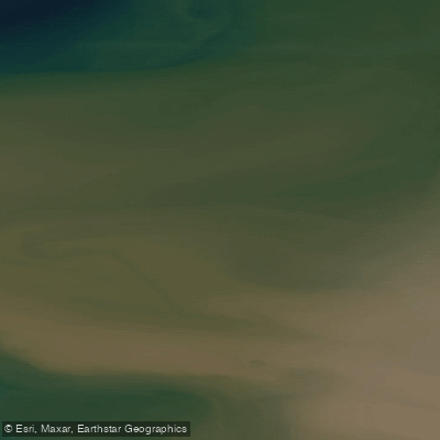
Mackenzie Bay
- Saltwater
- Bay
- Sq. miles
- 2,564
- Boat Ramps
- 0
- Access Points
- 0
- Campsites
- 0
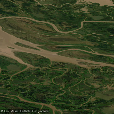
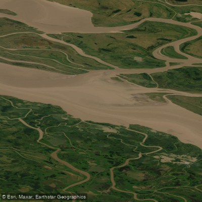
Mackenzie Bay is a large, shallow coastal inlet of the Beaufort Sea at the terminus of the Mackenzie River delta in the Arctic. Its character is defined by vast, low-relief shorelines, extensive mudflats, and a complex network of channels formed by sediment deposition from North America's longest northward-flowing river. The water is typically turbid due to the high sediment load, creating a distinct plume that extends into the sea. This is a remote and dynamic Arctic marine environment with significant ecological importance. A portion of the bay, including areas referred to as East Mackenzie Bay and West Mackenzie Bay, falls within the Tarium Niryutait Marine Protected Area, established to conserve resources and uphold Inuvialuit harvesting rights. The area is a critical summer habitat for large numbers of beluga whales that use the sheltered waters for calving and feeding. Paddling here is a wilderness expedition requiring advanced planning and self-sufficiency, as there are no developed facilities or amenities. The hydrology is driven by strong seasonal river discharge, which peaks in June and July, and by Arctic tidal forces. Paddlers must be prepared for cold water temperatures year-round and should plan trips for the brief summer open-water season. The surrounding region holds historical significance, as the bay is named for explorer Sir Alexander Mackenzie, who first reached its shores in 1789.
Water access, boat ramps & amenities
Learn how to get on Mackenzie Bay. Uncover great paddling access points, boat ramps, and all the facilities you need for an unforgettable day on the water. Some locations shown may border or include private property. Always check property boundaries and applicable regulations before visiting. PaddleWays's Public & Private Land layer can help you plan your access with confidence.
Paddle smarter with real-time insights
Whether you're en route and conditions shift or you're looking for the best spot based on current flows, we enable you to make informed decisions on the fly.







Yt licenses and regulations
No licenses or regulations available for Yt.
Find Places to Paddle

Over 400,000 Places to Paddle
Every user gets free access to launch points, boat ramps, and public property parcels.


Tides, wind & water conditions (10 day forecast)
On open water, wind and tide matter as much as the weather. See the best times to paddle Mackenzie Bay and check the marine forecast before you launch.
Loading tide predictions…
Explore Yt waters
Top paddling waters
No waters available right now.
Popular Cities
Loading popular cities...
Explore near Mackenzie Bay
More in Yt

Smarter Paddling Starts in the App.
Paddleways gives you everything you need to plan smarter, paddle better, and own every trip from first launch to takeout.