Whale Bay
- Saltwater
- Bay
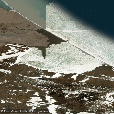
Whale Bay
- Saltwater
- Bay
- Sq. miles
- 1.2
- Boat Ramps
- 0
- Access Points
- 0
- Campsites
- 0
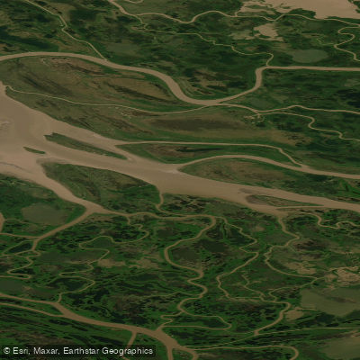
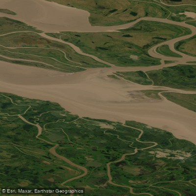
Whale Bay, known locally as Itqiliqpik, is located on the Yukon North Slope within the Inuvialuit Settlement Region of Canada's Western Arctic. It is a coastal bay on the Beaufort Sea. The bay has historical and cultural significance as a location used by Inuvialuit, with evidence of past habitation. One specific archaeological site, designated 86Y, is noted on the bay's north and west sides, though it is experiencing severe driftwood encroachment, with one structure near the beach being particularly affected. This indicates a dynamic shoreline where wind and wave action can deposit large amounts of driftwood, a factor paddlers must consider when assessing potential landing sites. The region is known for its populations of beluga and bowhead whales, which are a notable wildlife feature for paddlers to observe. The overall character is that of a remote, exposed Arctic coastline. Given its high-latitude location, paddling is only feasible during the brief summer ice-free season, typically from late July through August. Water temperatures remain cold year-round, rarely exceeding a few degrees Celsius even in summer, necessitating appropriate immersion gear. The bay faces the open Beaufort Sea, resulting in significant exposure to wind and waves, with fetch that can extend for hundreds of kilometers. Paddlers must be prepared for rapidly changing conditions, cold water, and the potential for strong onshore winds that can create a hazardous surf zone along the beach. There are no formal launch facilities, amenities, or specific regulations for paddlers, underscoring the need for complete self-sufficiency and thorough knowledge of Arctic coastal travel.
Water access, boat ramps & amenities
Learn how to get on Whale Bay. Uncover great paddling access points, boat ramps, and all the facilities you need for an unforgettable day on the water. Some locations shown may border or include private property. Always check property boundaries and applicable regulations before visiting. PaddleWays's Public & Private Land layer can help you plan your access with confidence.
Paddle smarter with real-time insights
Whether you're en route and conditions shift or you're looking for the best spot based on current flows, we enable you to make informed decisions on the fly.







Yt licenses and regulations
No licenses or regulations available for Yt.
Find Places to Paddle

Over 400,000 Places to Paddle
Every user gets free access to launch points, boat ramps, and public property parcels.


Tides, wind & water conditions (10 day forecast)
On open water, wind and tide matter as much as the weather. See the best times to paddle Whale Bay and check the marine forecast before you launch.
Loading tide predictions…
Explore Yt waters
Top paddling waters
No waters available right now.
Popular Cities
Loading popular cities...
Explore near Whale Bay
More in Yt

Smarter Paddling Starts in the App.
Paddleways gives you everything you need to plan smarter, paddle better, and own every trip from first launch to takeout.