Lago Cochrane / Lago Pueyrredón
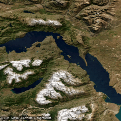
Lago Cochrane / Lago Pueyrredón
- Boat Ramps
- 0
- Access Points
- 6
- Campsites
- 1
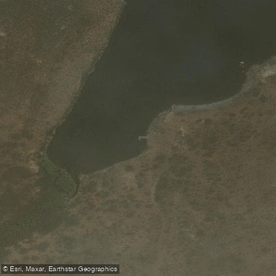
Lago Cochrane, known as Lago Pueyrredón on the Argentine side of the border, is a large glacially formed lake straddling the Chile-Argentina boundary in the Aysén Region of southern Patagonia. The lake has a total surface area of approximately 325 km², with 175 km² lying within Chile's Cochrane Commune and the remaining 150 km² in Argentina's Santa Cruz Province. It stretches roughly 45 km in length and up to 6 km in width, with a distinctly elongated, boomerang-like shape. Average depth is around 101.8 m, and maximum depth reaches 460 m, making it a substantial body of water with significant fetch and exposure to wind.
The lake sits at approximately 47°16'S latitude and is fed by glacial streams from the surrounding Andean peaks. Its waters are notably clear and deep blue, with visibility extending several meters below the surface. The landscape transitions from Patagonian steppe on the eastern shores to subantarctic forest on the western side, offering a varied visual backdrop across the lake's length.
The town of Cochrane, with a population of around 3,000, sits on the western shore and serves as the primary service hub for the area. The lake forms the southern boundary of Reserva Nacional Tamango, which is habitat for the huemul, an endangered deer species native to Patagonia. The Río Cochrane drains the lake westward, eventually feeding into the Río Baker and reaching the Pacific Ocean.
Kayaking on the lake and Río Cochrane is offered by local operators based in Cochrane, with guided excursions available that combine paddling with trekking and boat tours. Recreational fishing for trout and other salmonids is also practiced on the lake, with equipment available for rent locally. A four-day trekking route known as the Los Lagos Brown-Cochrane circuit incorporates the lake's shoreline and includes an optional viewpoint over "Milestone V-5 Cochrane Lake – Pueyrredón," providing context for paddlers interested in multi-day exploration of the surrounding terrain.
The lake is accessible via the Carretera Austral in its southern section, and camping options exist in the vicinity, including Camping Aquasol located at Km 2 on the road to Lago Cochrane.
Water access, boat ramps & amenities
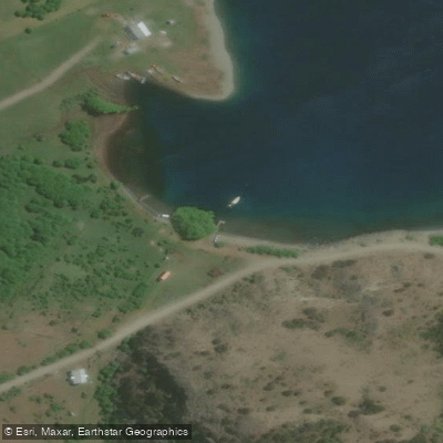
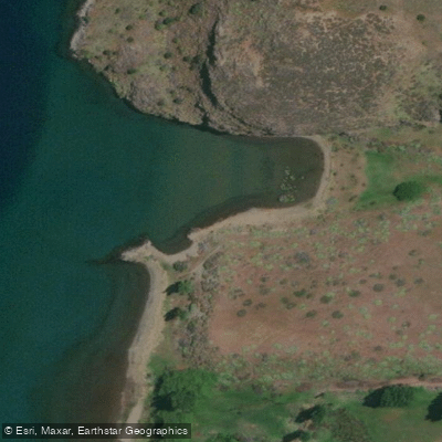
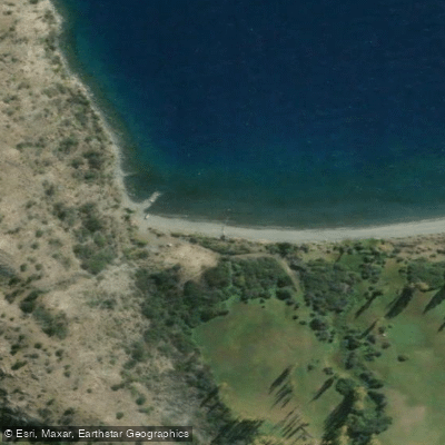
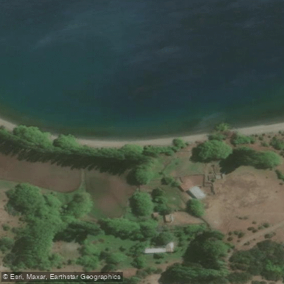
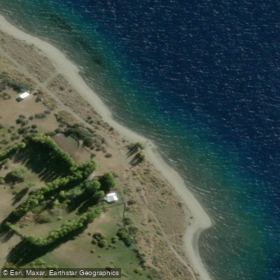
Learn how to get on Lago Cochrane / Lago Pueyrredón. Uncover great paddling access points, boat ramps, and all the facilities you need for an unforgettable day on the water. Some locations shown may border or include private property. Always check property boundaries and applicable regulations before visiting. PaddleWays's Public & Private Land layer can help you plan your access with confidence.
Paddle smarter with real-time insights
Whether you're en route and conditions shift or you're looking for the best spot based on current flows, we enable you to make informed decisions on the fly.







Aysén licenses and regulations
No licenses or regulations available for Aysén.
Find Places to Paddle

Over 400,000 Places to Paddle
Every user gets free access to launch points, boat ramps, and public property parcels.


Water and weather conditions (10 day forecast)
See the best times to paddle Lago Cochrane / Lago Pueyrredón and check the forecast before you go.
Lago Pueyrredón - Pueyrredón
All Flow Stations
Paddling near Lago Cochrane / Lago Pueyrredón
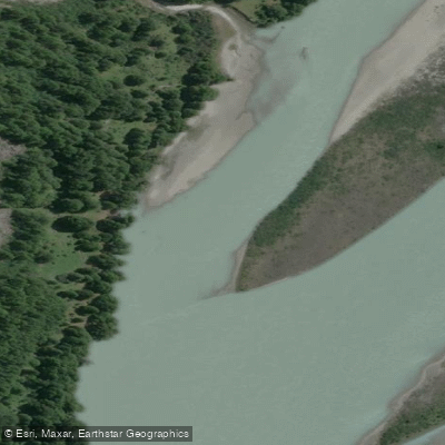
Río Baker
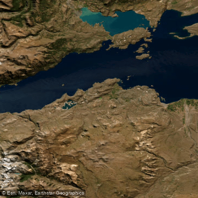
Lago General Carrera / Lago Buenos Aires
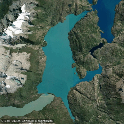
Lago Bertrand
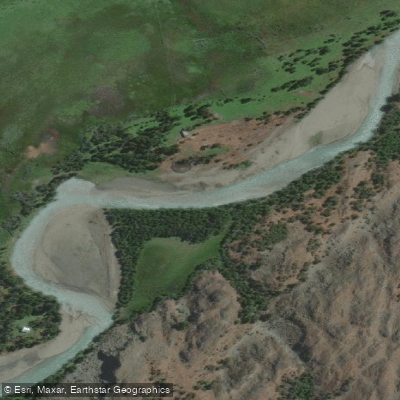
Río Tranquilo
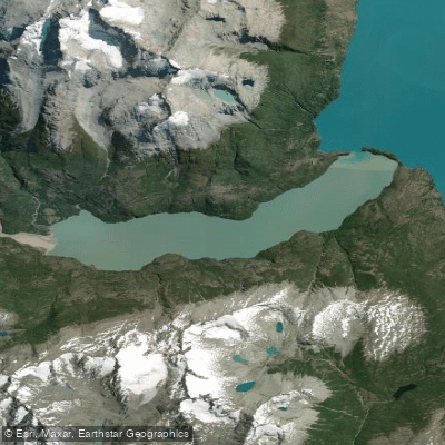
Lago Plomo
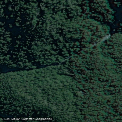
Rio Blanco
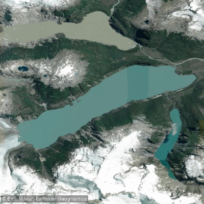
Lago Leones
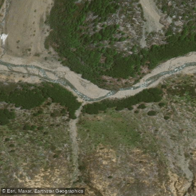
Río Blanco
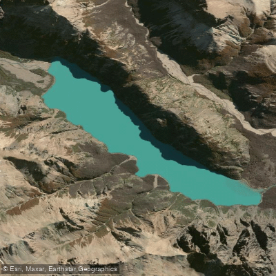
Lago Verde
Explore Aysén waters
Top paddling waters
No waters available right now.
Popular Cities
Loading popular cities...
Explore near Lago Cochrane / Lago Pueyrredón

Smarter Paddling Starts in the App.
Paddleways gives you everything you need to plan smarter, paddle better, and own every trip from first launch to takeout.