Río Baker
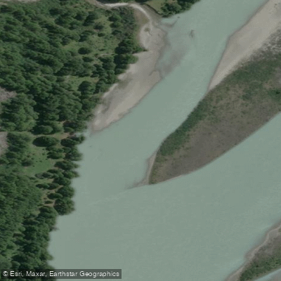
Río Baker
- Boat Ramps
- 0
- Access Points
- 2
- Campsites
- 2
The Río Baker is Chile's largest river, flowing through the Aysén del General Carlos Ibáñez del Campo Region of Patagonia before emptying into the fjords near Caleta Tortel, situated between the Northern and Southern Ice Fields. The river is visually distinctive for its turquoise waters, a characteristic that draws visitors and paddlers to the region.
The Baker is known for its impressive rapids, making it a destination for rafting. Packrafting is also practiced on the river, including at the confluence with the Río Chacabuco. The Río Neff is another notable tributary. The river corridor passes through diverse terrain that includes dense forests and open meadows, and the surrounding landscape supports wildlife such as guanacos, foxes, condors, and the Magellanic woodpecker.
The river terminates near Caleta Tortel, a small town approximately 125 kilometers south of Cochrane via the Carretera Austral and 462 kilometers south of Coyhaique. Caleta Tortel sits at the river's mouth and features boardwalks constructed from Ciprés de las Guaitecas timber winding through the fjords, and has been declared a heritage site. The town represents a logical endpoint for paddlers traveling the lower river. The Baker also holds a reputation for world-class fly-fishing, which means anglers may share the water in certain stretches.
Water access, boat ramps & amenities
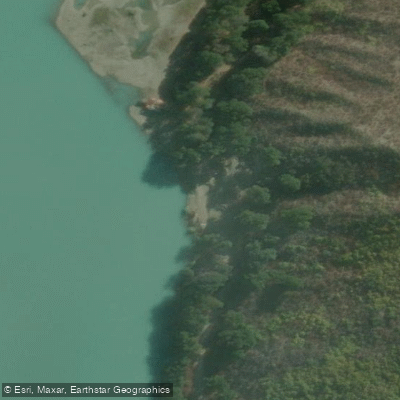
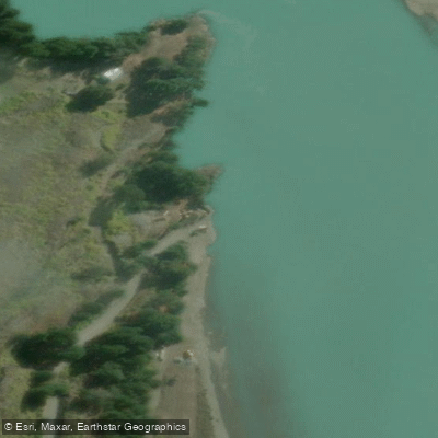
Learn how to get on Río Baker. Uncover great paddling access points, boat ramps, and all the facilities you need for an unforgettable day on the water. Some locations shown may border or include private property. Always check property boundaries and applicable regulations before visiting. PaddleWays's Public & Private Land layer can help you plan your access with confidence.
Paddle smarter with real-time insights
Whether you're en route and conditions shift or you're looking for the best spot based on current flows, we enable you to make informed decisions on the fly.







Aysén licenses and regulations
No licenses or regulations available for Aysén.
Find Places to Paddle

Over 400,000 Places to Paddle
Every user gets free access to launch points, boat ramps, and public property parcels.


Water and weather conditions (10 day forecast)
See the best times to paddle Río Baker and check the forecast before you go.
Rio Baker En Desague Lago Bertrand
All Flow Stations
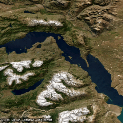
Paddling near Río Baker
Lago Cochrane / Lago Pueyrredón
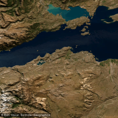
Lago General Carrera / Lago Buenos Aires
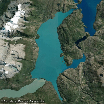
Lago Bertrand
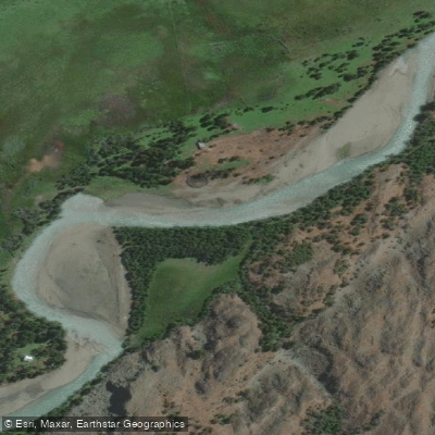
Río Tranquilo
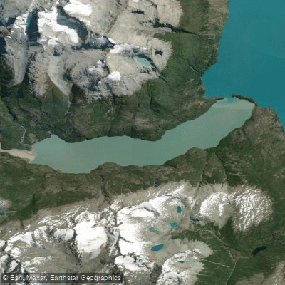
Lago Plomo
Rio Blanco
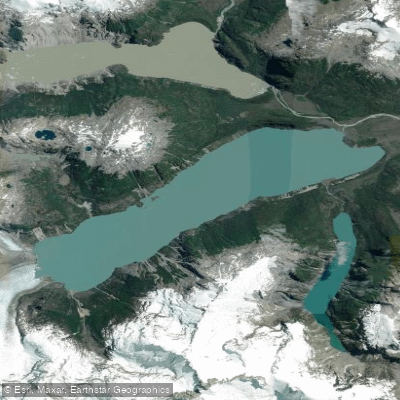
Lago Leones
Río Blanco
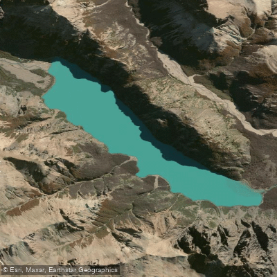
Lago Verde
Explore Aysén waters
Top paddling waters
No waters available right now.
Popular Cities
Loading popular cities...
Explore near Río Baker

Smarter Paddling Starts in the App.
Paddleways gives you everything you need to plan smarter, paddle better, and own every trip from first launch to takeout.